Old Cumbria Gazetteer
 |
 |
|
||
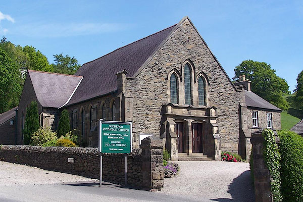
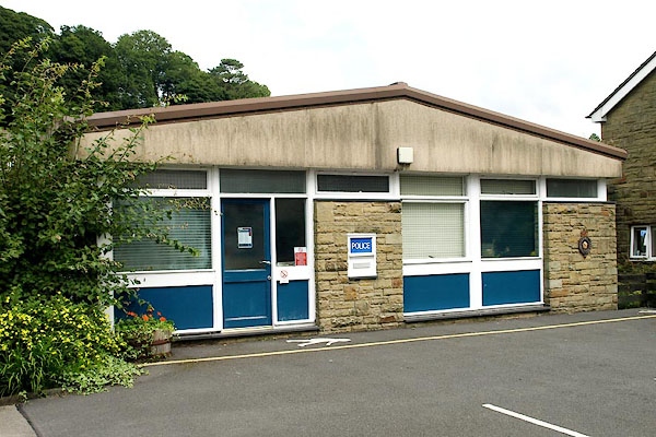
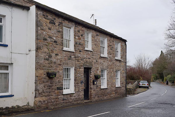
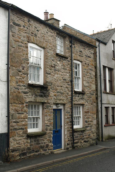
| Sedbergh | ||||
| civil parish:- | Sedbergh (formerly Yorkshire) | |||
| county:- | Cumbria | |||
| locality type:- | locality | |||
| locality type:- | buildings | |||
| locality type:- | selected place | |||
| locality type:- | twinned town | |||
| coordinates:- | SD65849214 (etc) | |||
| 1Km square:- | SD6592 | |||
| 10Km square:- | SD69 | |||
| latitude; longitude:- | 2d 31.6m W; 54d 19.4m N | |||
|
|
||||
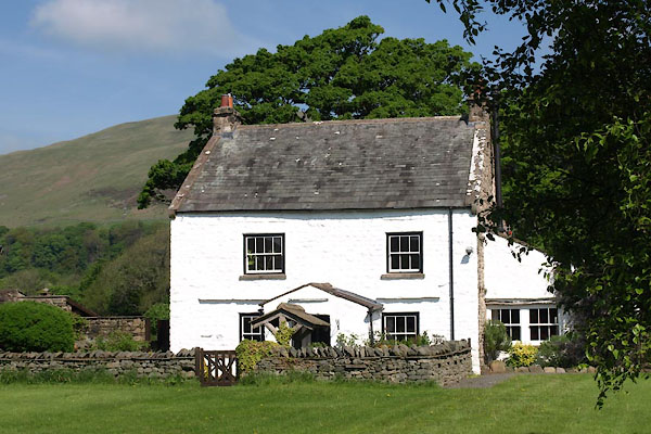
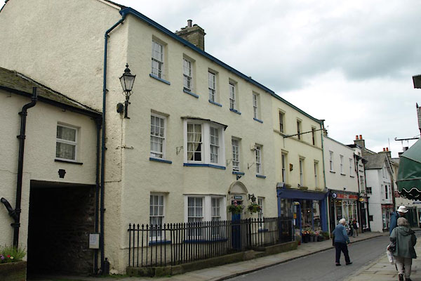
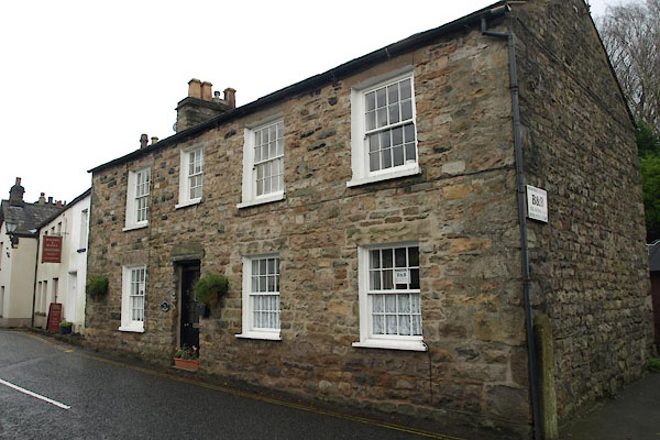
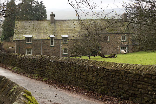
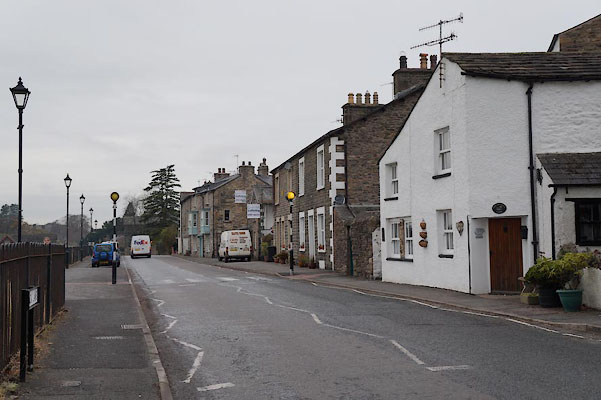
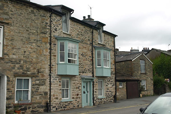
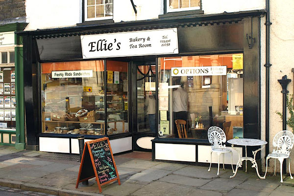
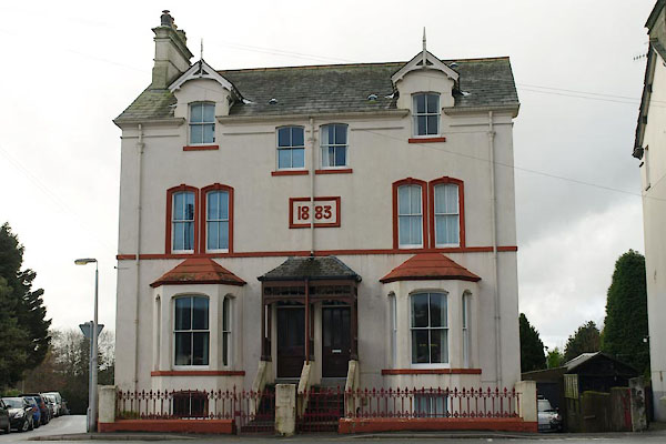
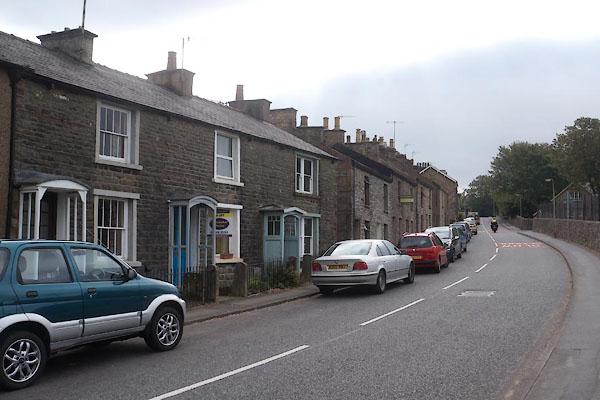
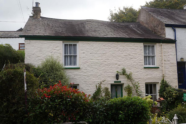
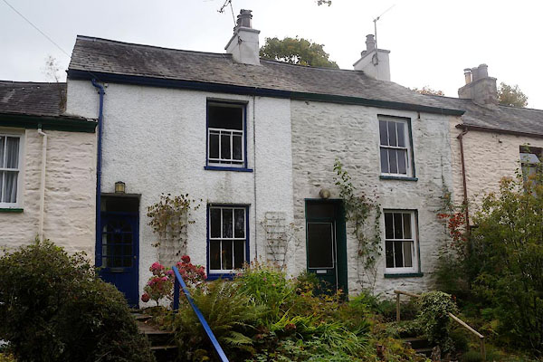
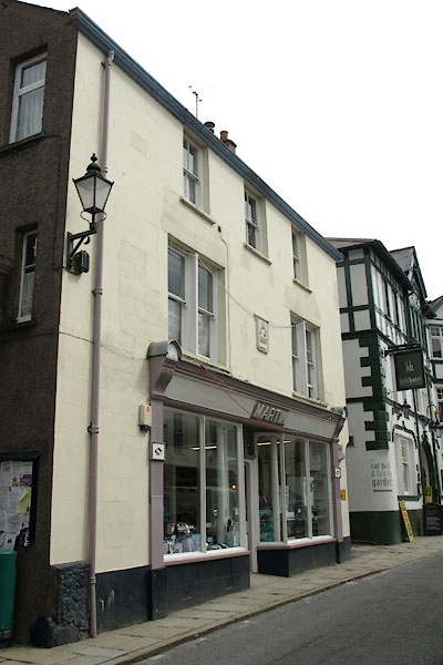
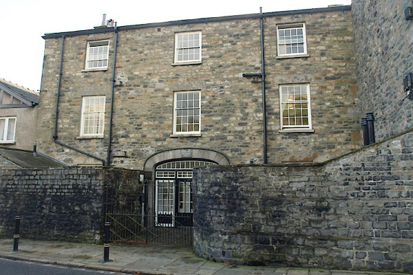
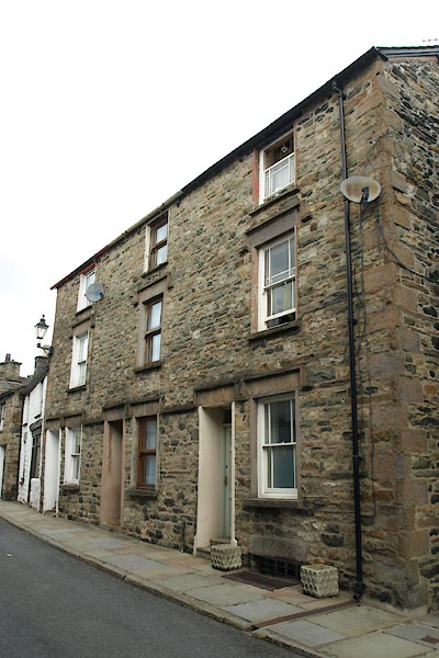
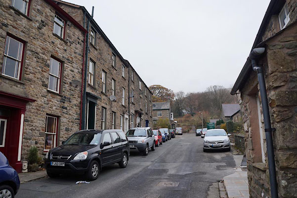
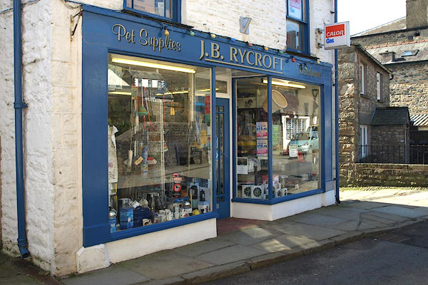
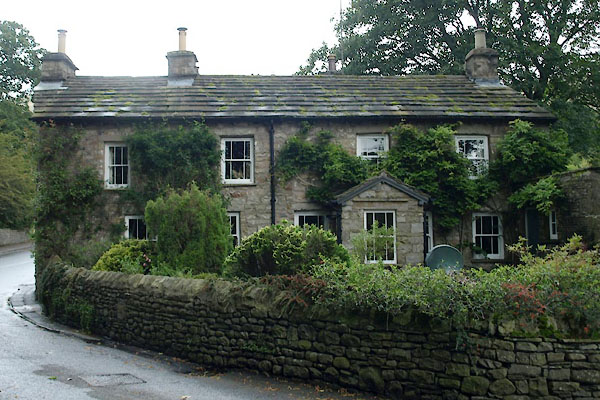
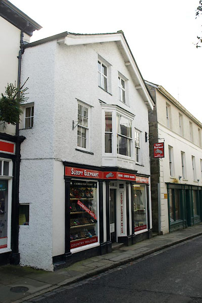
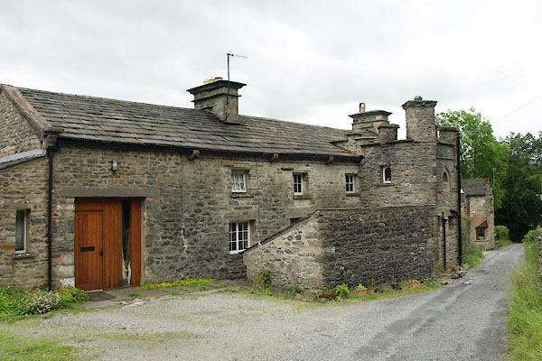
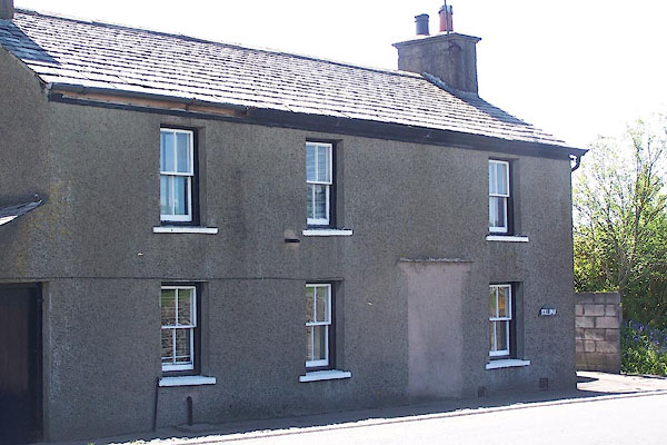
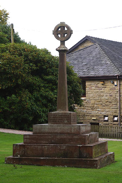
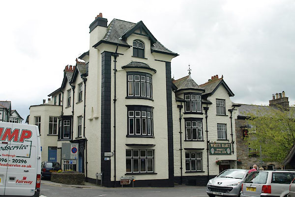
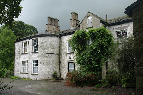
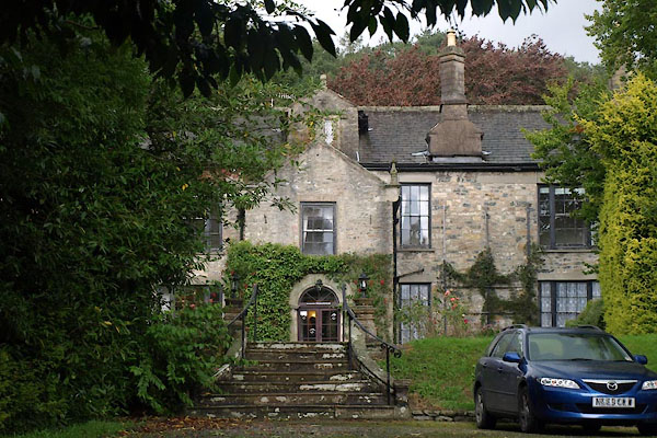
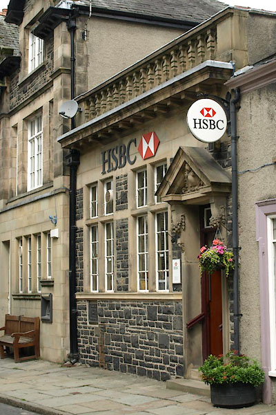
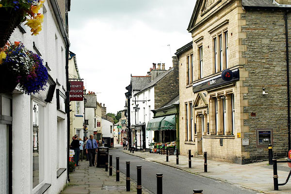 BRG95.jpg (taken 13.8.2009) 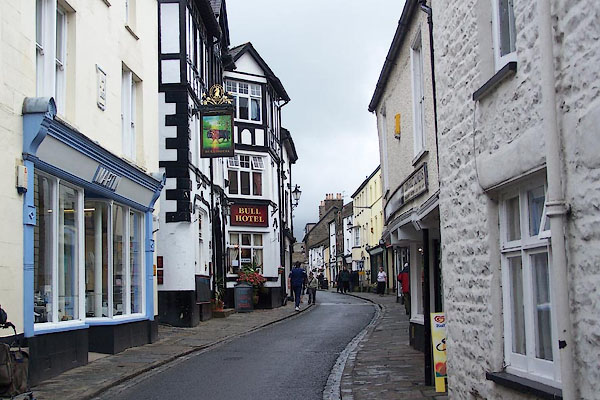 BJV97.jpg (taken 23.9.2005) |
||||
|
|
||||
| evidence:- | old map:- OS County Series (Yrk 63 3) placename:- Sedbergh |
|||
| source data:- | Maps, County Series maps of Great Britain, scales 6 and 25
inches to 1 mile, published by the Ordnance Survey, Southampton,
Hampshire, from about 1863 to 1948. |
|||
|
|
||||
| evidence:- | old map:- Lloyd 1573 placename:- Sedbar |
|||
| source data:- | Map, hand coloured copper plate engraving, Angliae Regni,
Kingdom of England, with Wales, scale about 24 miles to 1 inch, authored by Humphrey
Lloyd, Denbigh, Clwyd, drawn and engraved
by Abraham Ortelius, Netherlands, 1573.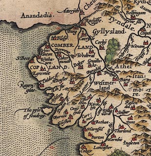 click to enlarge click to enlargeLld1Cm.jpg "Sedbar" item:- Hampshire Museums : FA1998.69 Image © see bottom of page |
|||
|
|
||||
| evidence:- | old map:- Saxton 1579 placename:- Sedber |
|||
| source data:- | Map, hand coloured engraving, Westmorlandiae et Cumberlandiae Comitatus ie Westmorland
and Cumberland, scale about 5 miles to 1 inch, by Christopher Saxton, London, engraved
by Augustinus Ryther, 1576, published 1579-1645.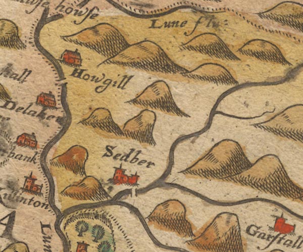 Sax9SD69.jpg Church, symbol for a parish or village, with a parish church. "Sedber" item:- private collection : 2 Image © see bottom of page |
|||
|
|
||||
| evidence:- | old map:- Mercator 1595 (edn?) placename:- Sedber |
|||
| source data:- | Map, hand coloured engraving, Westmorlandia, Lancastria, Cestria
etc, ie Westmorland, Lancashire, Cheshire etc, scale about 10.5
miles to 1 inch, by Gerard Mercator, Duisberg, Germany, 1595,
edition 1613-16. MER5WmdA.jpg "Sedber" circle item:- Armitt Library : 2008.14.3 Image © see bottom of page |
|||
|
|
||||
| evidence:- | old map:- Speed 1611 (Wmd) placename:- Sedber |
|||
| source data:- | Map, hand coloured engraving, The Countie Westmorland and
Kendale the Cheif Towne, scale about 2.5 miles to 1 inch, by
John Speed, 1610, published by George Humble, Popes Head Alley,
London, 1611-12.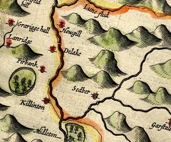 SP14SD69.jpg "Sedber" circle, building and tower item:- Armitt Library : 2008.14.5 Image © see bottom of page |
|||
|
|
||||
| evidence:- | old text:- Brathwaite 1638 placename:- Sedbergh |
|||
| source data:- | Poem, Drunken Barbaby's Four Journeys to the North of England,
by Richard Brathwaite, 1638, published 1716-1818 at least. "Thence to Sedbergh, sometimes Joy-all," "Gamesome, Gladsome, richly Royal," "But those jolly Boys are sunken," "'Now scarce once a Year one drunken;" "There I durst not well be merry," "Far from Home old Foxes werry." |
|||
|
|
||||
| evidence:- | old map:- Jansson 1646 placename:- Sedber |
|||
| source data:- | Map, hand coloured engraving, Cumbria and Westmoria, ie
Cumberland and Westmorland, scale about 3.5 miles to 1 inch, by
John Jansson, Amsterdam, Netherlands, 1646.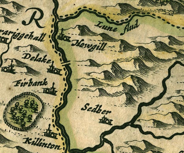 JAN3SD69.jpg "Sedber" Buildings and tower. item:- JandMN : 88 Image © see bottom of page |
|||
|
|
||||
| evidence:- | old map:- Seller 1694 (Wmd) placename:- Sedber |
|||
| source data:- | Map, hand coloured engraving, Westmorland, scale about 8 miles
to 1 inch, by John Seller, 1694. click to enlarge click to enlargeSEL7.jpg "Sedber" circle, italic lowercase text; settlement or house item:- Dove Cottage : 2007.38.87 Image © see bottom of page |
|||
|
|
||||
| evidence:- | old map:- Morden 1695 (Wmd) placename:- Sedber |
|||
| source data:- | Map, hand coloured engraving, Westmorland, scale about 2.5 miles to 1 inch, by Robert
Morden, published by Abel Swale, the Unicorn, St Paul's Churchyard, Awnsham, and John
Churchill, the Black Swan, Paternoster Row, London, 1695.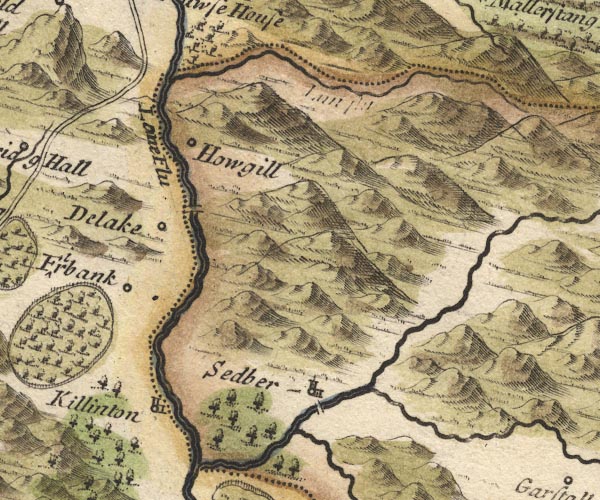 MD10SD69.jpg "Sedber" Circle, building and tower. item:- JandMN : 24 Image © see bottom of page |
|||
|
|
||||
| evidence:- | old map:- Badeslade 1742 placename:- Sedburg |
|||
| source data:- | Map, hand coloured engraving, A Map of Yorkshire North from
London, scale about 24 miles to 1 inch, with descriptive text,
by Thomas Badeslade, London, engraved and published by William
Henry Toms, Union Court, Holborn, London, 1742.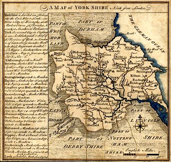 click to enlarge click to enlargeBD16.jpg "Sedburg" circle, tower/s, upright lowercase text; town item:- private collection : 162 Image © see bottom of page |
|||
|
|
||||
| evidence:- | old map:- Simpson 1746 map (Wmd) placename:- Sedberg |
|||
| source data:- | Map, uncoloured engraving, Westmorland, scale about 8 miles to 1
inch, printed by R Walker, Fleet Lane, London, 1746.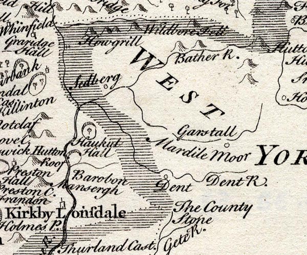 SMP2SDU.jpg "Sedberg" Circle. item:- Dove Cottage : 2007.38.59 Image © see bottom of page |
|||
|
|
||||
| evidence:- | old map:- Jefferys 1770 (Wmd) placename:- Sedbergh |
|||
| source data:- | Map, 4 sheets, The County of Westmoreland, scale 1 inch to 1
mile, surveyed 1768, and engraved and published by Thomas
Jefferys, London, 1770.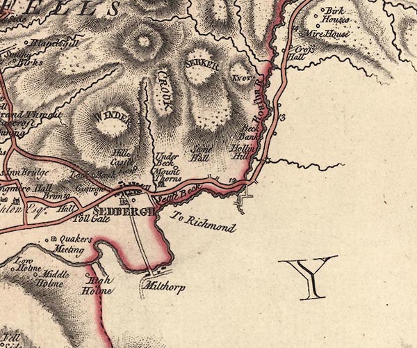 J5SD69SE.jpg "SEDBERGH" blocks on a street plan, labelled in block caps; settlement, market town? item:- National Library of Scotland : EME.s.47 Image © National Library of Scotland |
|||
|
|
||||
| evidence:- | old map:- Jefferys 1770 placename:- Sedbergh |
|||
| source data:- | Map, 4 sheets, The County of Westmoreland, scale 1 inch to 1
mile, surveyed 1768, and engraved and published by Thomas
Jefferys, London, 1770.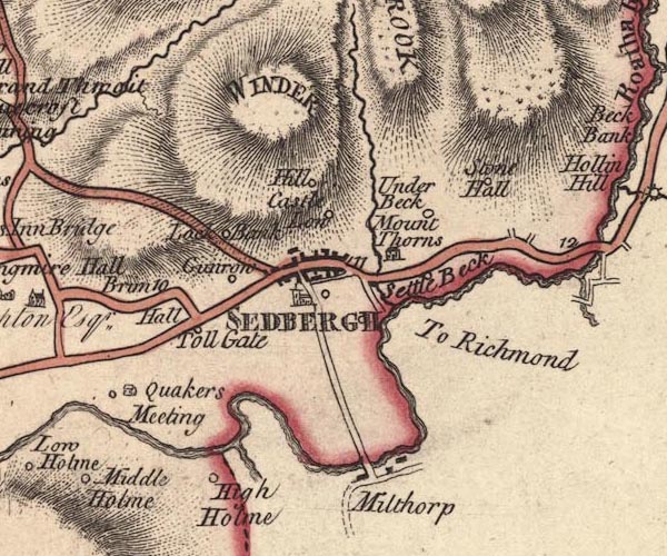 JEF5Sdbr.jpg "SEDBERGH" blocks on a street plan, and a church; inclcuded in Westmorland item:- National Library of Scotland : EME.s.47 Image © National Library of Scotland |
|||
|
|
||||
| evidence:- | old map:- Pennant 1777 placename:- Sedberg |
|||
| source data:- | Map, hand coloured engraving, A Map of Scotland, Hebrides and
Part of England, drawn for Thomas Pennant, engraved by J Bayly,
published by Benjamin White, London, 1777.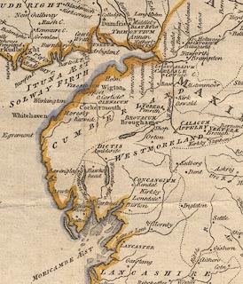 click to enlarge click to enlargePEN1Cm.jpg "Sedberg" circle; buildings, village, etc item:- private collection : 66 Image © see bottom of page |
|||
|
|
||||
| evidence:- | descriptive text:- West 1778 (11th edn 1821) placename:- Sedburgh |
|||
| source data:- | Guide book, A Guide to the Lakes, by Thomas West, published by
William Pennington, Kendal, Cumbria once Westmorland, and in
London, 1778 to 1821. goto source goto sourceTour to the Caves in the West Riding of Yorkshire, late 18th century Page 243:- "..." "... The Roman road is easily traced from Ribchester ... to Overborough; afterwards the Roman road goes through Casterton and Middleton, and, as some think, by Borrow-bridge and Orton, to Apulby. Others, and perhaps from better reasons, are of opinion, the road went by Sedbergh, or Sedburgh, [2] over Blewcaster, along Ravenstonedale-street, and through Kirkby-Stephen, to Brough or Burgh. ... Antoninus's tenth Itinerary runs from Glanoventa or Lanchester, in the county of Durham, ... to Glenovento or Draton, in the county of Salop. In various places by the side of this road are high artificial mounts of earth, which were without doubt the stations of centinels, to prevent any insurrections, or being surprised by an enemy: they may be now seen entire at Burton-in-Lons-" "[2] ... Borough, or Burgh, from the Greek word burgos, or watch tower." goto sourcePage 244:- "[Burton-in-Lons]dale, Overborough, Kirkby-Lonsdale, and Sedbergh. ..." |
|||
|
|
||||
| evidence:- | old map:- Cary 1789 (edn 1805) placename:- Sedbergh |
|||
| source data:- | Map, uncoloured engraving, Westmoreland, scale about 2.5 miles
to 1 inch, by John Cary, London, 1789; edition 1805.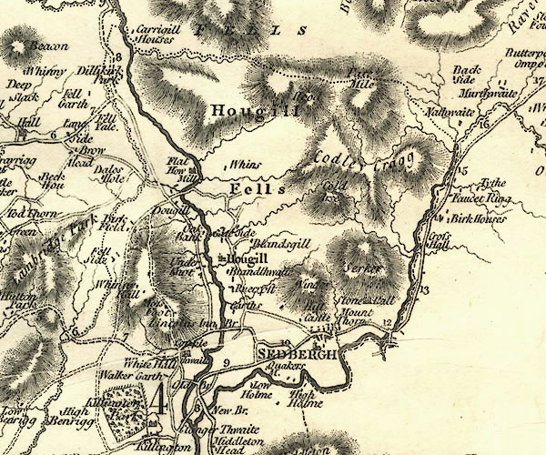 CY24SD69.jpg "SEDBERGH" group of blocks, labelled in block caps; town item:- JandMN : 129 Image © see bottom of page |
|||
|
|
||||
| evidence:- | road book:- Cary 1798 (2nd edn 1802) placename:- Sedbergh |
|||
| source data:- | Road book, itineraries, Cary's New Itinerary, by John Cary, 181
Strand, London, 2nd edn 1802. goto source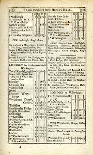 click to enlarge click to enlargeC38317.jpg page 317-318 "Sedbergh / At Sedbergh, on r. a T.R. to Askrigg." market town, post office "INN. Sedbergh, King's Arms" item:- JandMN : 228.1 Image © see bottom of page |
|||
|
|
||||
| evidence:- | road book:- Cary 1798 (2nd edn 1802) placename:- Sedbergh |
|||
| source data:- | Road book, itineraries, Cary's New Itinerary, by John Cary, 181
Strand, London, 2nd edn 1802. goto source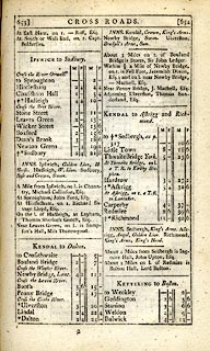 click to enlarge click to enlargeC38653.jpg page 653-654 "to Sedbergh, as p.317" market town, post office "INNS. Sedbergh, King's Arms .." goto source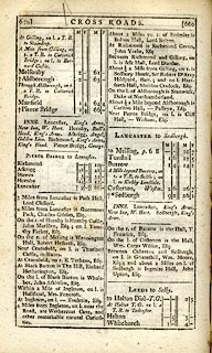 click to enlarge click to enlargeC38659.jpg page 659-660 "Sedbergh" market town, post office "INNS. ... Sedbergh, King's Arms." item:- JandMN : 228.2 Image © see bottom of page |
|||
|
|
||||
| evidence:- | old map:- Cooke 1802 placename:- Sedbergh |
|||
| source data:- | Map, West Riding of Yorkshire, ie West Yorkshire, scale about 21
miles to 1 inch, by George Cooke, 1802, bound in Gray's New Book
of Roads, 1824, published by Sherwood, Jones and Co, Paternoster
Road, London, 1824.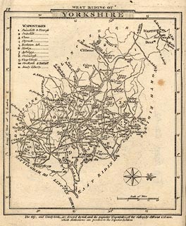 click to enlarge click to enlargeGRA1Wy.jpg "Sedbergh / 268" blocks, upright lowercase text; town, distance from London item:- Hampshire Museums : FA2000.62.12 Image © see bottom of page |
|||
|
|
||||
| evidence:- | old map:- Laurie and Whittle 1806 placename:- Sedbergh |
|||
| source data:- | Road map, Completion of the Roads to the Lakes, scale about 10
miles to 1 inch, by Nathaniel Coltman? 1806, published by Robert
H Laurie, 53 Fleet Street, London, 1834. click to enlarge click to enlargeLw18.jpg "Sedbergh 266½" market town; distance from London; travellers supplied with post horses or carriages item:- private collection : 18.18 Image © see bottom of page |
|||
|
|
||||
| evidence:- | old map:- Laurie and Whittle 1806 placename:- Sedbergh |
|||
| source data:- | Road map, Continuation of the Roads to Glasgow and Edinburgh,
scale about 10 miles to 1 inch, by Nathaniel Coltman? 1806,
published by Robert H Laurie, 53 Fleet Street, London, 1834. click to enlarge click to enlargeLw21.jpg "Sedbergh 266½" market town; distance from London; travellers supplied with post horses or carriages item:- private collection : 18.21 Image © see bottom of page |
|||
|
|
||||
| evidence:- | old text:- Capper 1808 placename:- Sedbergh item:- population; market; fair |
|||
| source data:- | Gazetteer, A Topographical Dictionary of the United Kingdom,
compiled by Benjamin Pitts Capper, published by Richard
Phillips, Bridge Street, Blackfriars, London, 1808; published
1808-29. goto source "..." "SEDBERGH, a market town and parish in the wapentake of Staincliff and Ewcross, west riding of York, situated at the bottom of the Houghill Fells, on the borders of Westmoreland, 271 miles from London; containing 360 houses and 1639 inhabitants. It has a market on Wednesday, and its fairs are 20th March, and 29th October. It is a vicarage, value 12l. 8d. in the patronage of Trinity college, Cambridge." "..." |
|||
|
|
||||
| evidence:- | old map:- Cooper 1808 placename:- Sedbergh |
|||
| source data:- | Map, hand coloured engraving, Westmoreland ie Westmorland, scale
about 9 miles to 1 inch, by H Cooper, 1808, published by R
Phillips, Bridge Street, Blackfriars, London, 1808. click to enlarge click to enlargeCOP4.jpg "Sedbergh" circle with two side bars; town item:- Dove Cottage : 2007.38.53 Image © see bottom of page |
|||
|
|
||||
| evidence:- | old map:- Wallis 1810 (Wmd) placename:- Sedbergh |
|||
| source data:- | Road map, Westmoreland, scale about 19 miles to 1 inch, by James
Wallis, 77 Berwick Street, Soho, 1810, published by W Lewis,
Finch Lane, London, 1835? click to enlarge click to enlargeWAL5.jpg "Sedbergh / 263" town; distance from London item:- JandMN : 63 Image © see bottom of page |
|||
|
|
||||
| evidence:- | old map:- Hall 1820 (Wmd) placename:- Sadbergh |
|||
| source data:- | Map, hand coloured engraving, Westmoreland ie Westmorland, scale
about 14.5 miles to 1 inch, by Sidney Hall, London, 1820,
published by Samuel Leigh, 18 Strand, London, 1820-31. click to enlarge click to enlargeHA18.jpg "Sadbergh / 265" circle, upright lowercase text; town, Yorkshire; distance from London item:- Armitt Library : 2008.14.58 Image © see bottom of page |
|||
|
|
||||
| evidence:- | old map:- Ford 1839 map placename:- Sedbergh |
|||
| source data:- | Map, uncoloured engraving, Map of the Lake District of
Cumberland, Westmoreland and Lancashire, scale about 3.5 miles
to 1 inch, published by Charles Thurnam, Carlisle, and by R
Groombridge, 5 Paternoster Row, London, 3rd edn 1843.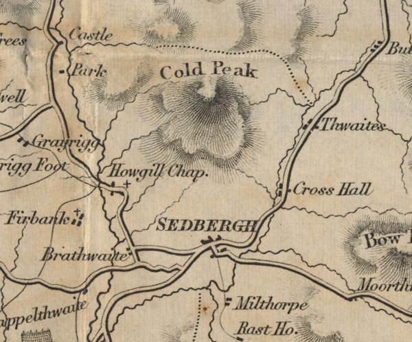 FD02SD69.jpg "SEDBERGH" item:- JandMN : 100.1 Image © see bottom of page |
|||
|
|
||||
| evidence:- | old map:- Garnett 1850s-60s H placename:- Sedbergh |
|||
| source data:- | Map of the English Lakes, in Cumberland, Westmorland and
Lancashire, scale about 3.5 miles to 1 inch, published by John
Garnett, Windermere, Westmorland, 1850s-60s.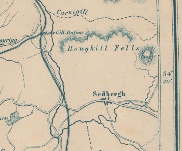 GAR2SD69.jpg "Sedbergh" blocks, settlement item:- JandMN : 82.1 Image © see bottom of page |
|||
|
|
||||
| evidence:- | old itinerary:- Johnson 1908 (Roads/Cum) placename:- Sedbergh |
|||
| source data:- | Itinerary, Route 40 in Roads Made Easy by Picture and Pen, Doncaster to Glasgow, through
Hawes, by Claude Johnson, edited by Lord Montagu, published by The Car Illustrated,
168 Piccadilly, London, 1908.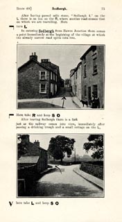 click to enlarge click to enlargeJS5073.jpg pp.66-74 in the road book, Roads Made Easy by Picture and Pen, vol.3. printed at beginning, p.66:- "ROUTE 40. / DONCASTER via Boroughbridge (43½), Ripon (59½), Masham (69½), Middleham (79¼), Aysgarth (88¾), Hawes Junction (103), Sedbergh (113¼), Kirkby Lonsdale (124), Kendal (136), Carlisle (180½) to GLASGOW (275½)." item:- private collection : 268.8 Image © see bottom of page |
|||
|
|
||||
| evidence:- | old map:- Postlethwaite 1877 (3rd edn 1913) placename:- Sedbergh |
|||
| source data:- | Map, uncoloured engraving, Map of the Lake District Mining Field, Westmorland, Cumberland,
Lancashire, scale about 5 miles to 1 inch, by John Postlethwaite, published by W H
Moss and Sons, 13 Lowther Street, Whitehaven, Cumberland, 1877 edn 1913.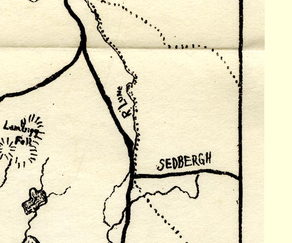 PST2SD69.jpg "SEDBERGH" no symbol item:- JandMN : 162.2 Image © see bottom of page |
|||
|
|
||||
| evidence:- | market notes:- placename:- Sedburg item:- market |
|||
| source data:- | www.history.ac.uk/cmh/gaz/gazweb2.htmPalmer's Index No.93:: Public Record Office | |||
|
|
||||
 Post Office maps Post Office maps |
||||
|
|
||||
| evidence:- | old print:- Thompson 1894 placename:- Sedbergh |
|||
| source data:- | Print, engraving, General View of Sedbergh, Yorkshire, published by Richard Jackson,
Commercial Street, Leeds, Yorkshire, 1894.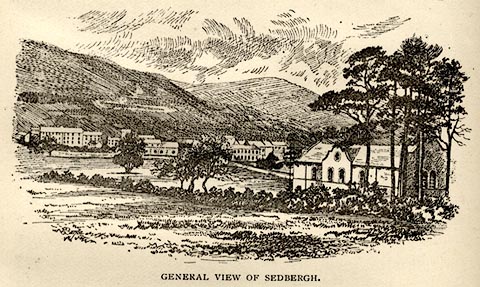 click to enlarge click to enlargeTHP116.jpg On p.76 of An Illustrated Guide to Sedbergh, Garsdale, and Dent, by W Thompson. item:- Armitt Library : A1612.B16 Image © see bottom of page |
|||
|
|
||||
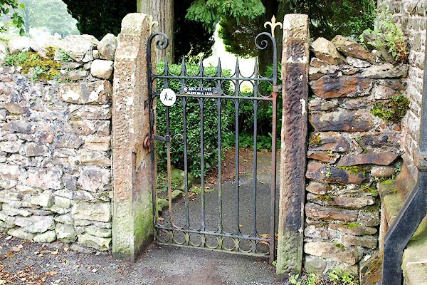
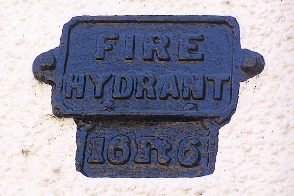
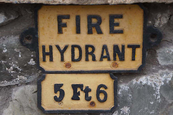
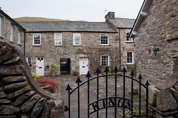
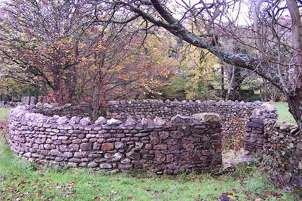
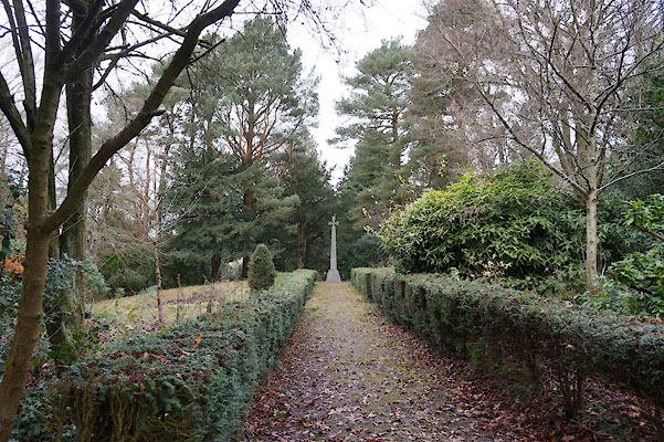
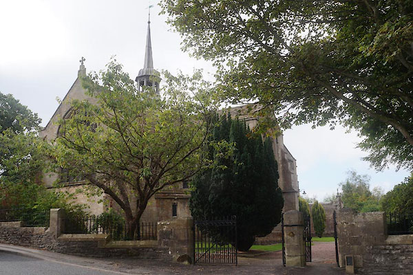
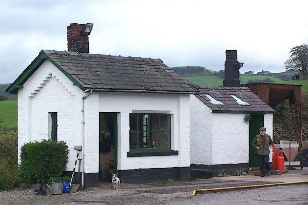
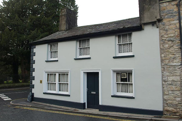
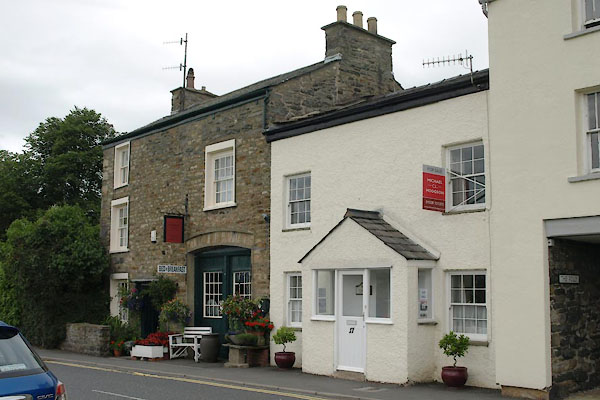
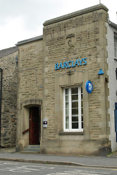
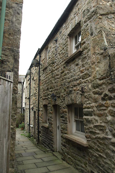
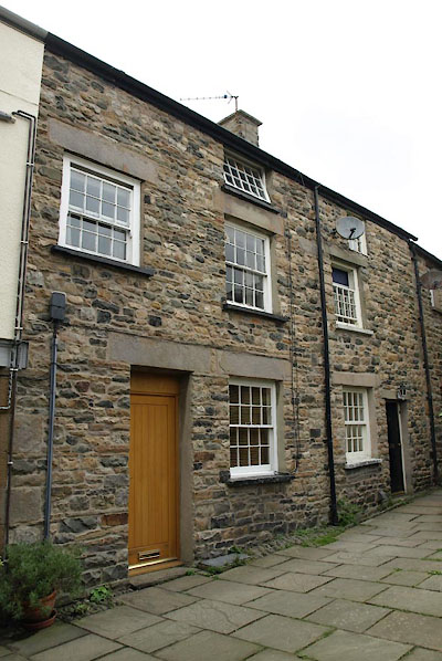
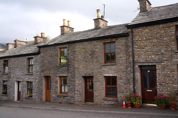
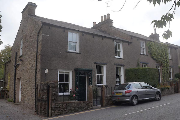
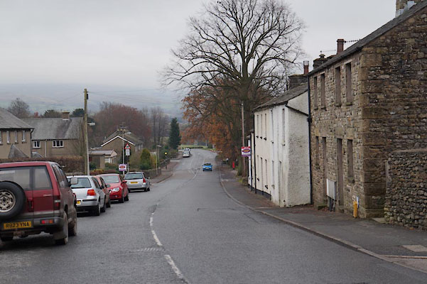
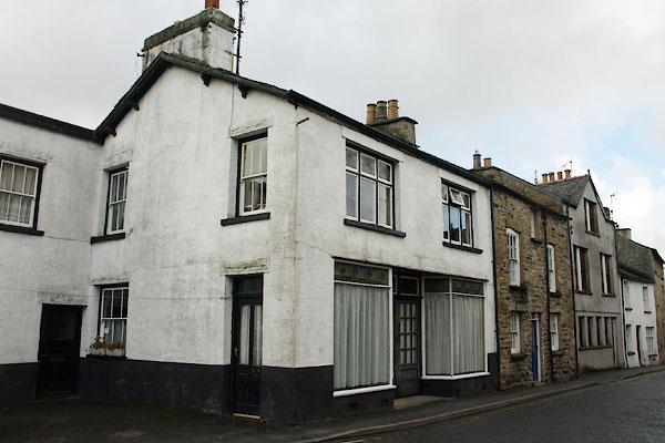
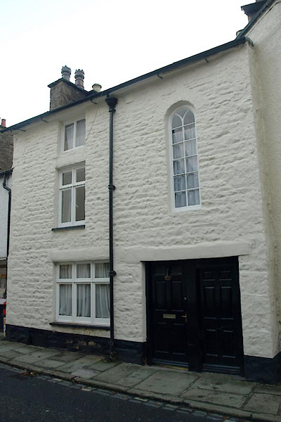
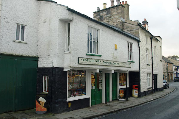
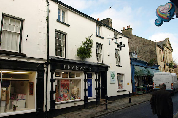
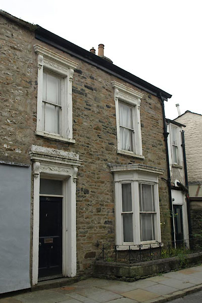
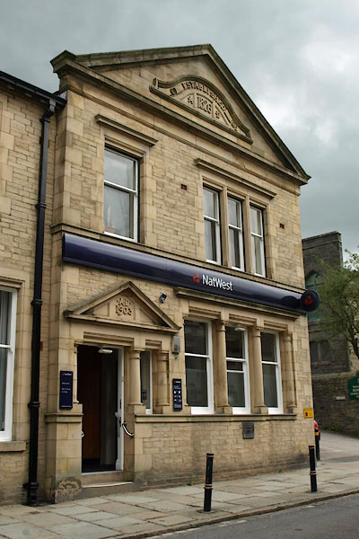
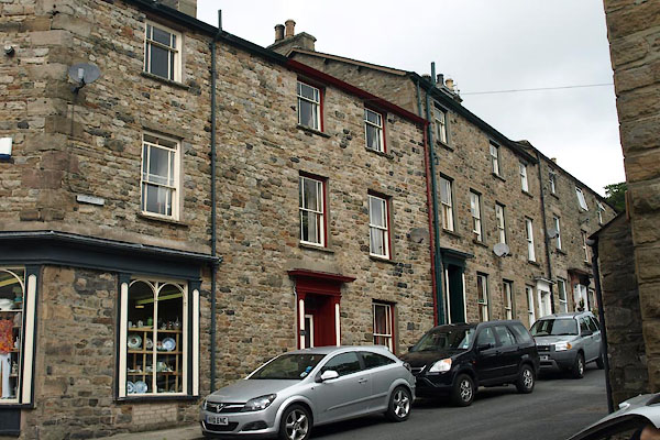
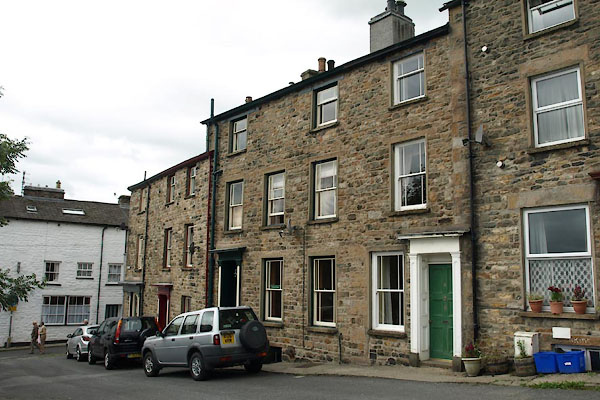
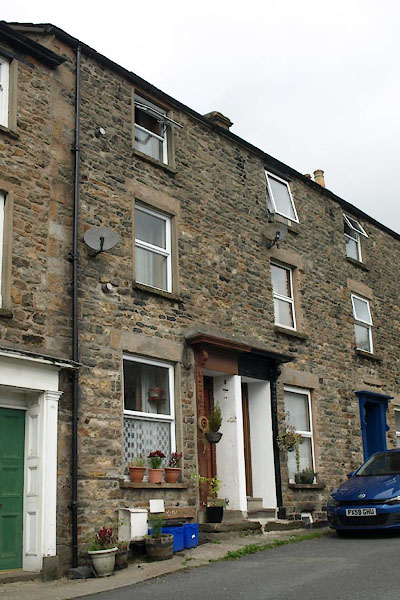
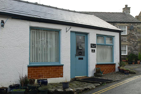
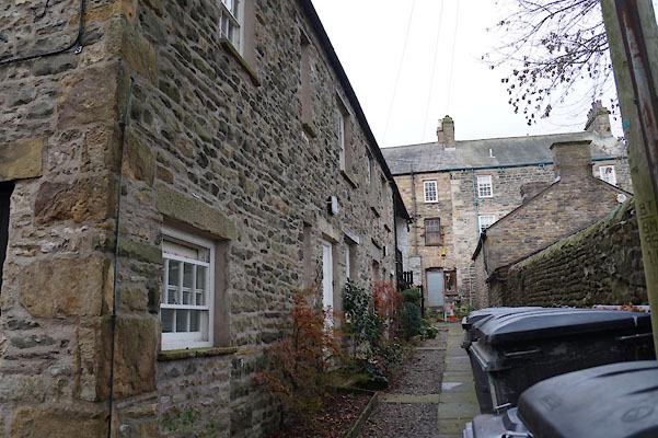
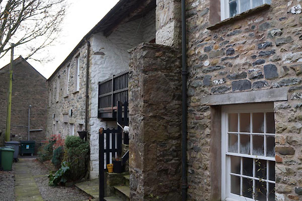
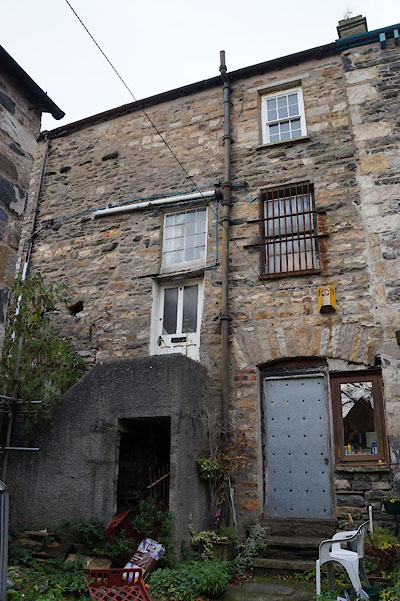
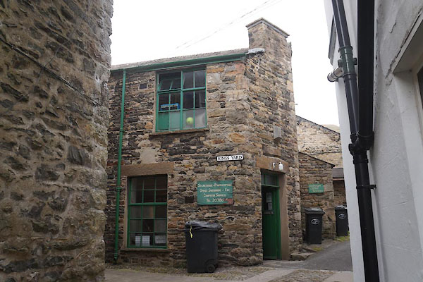
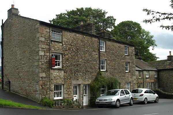
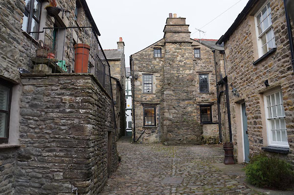
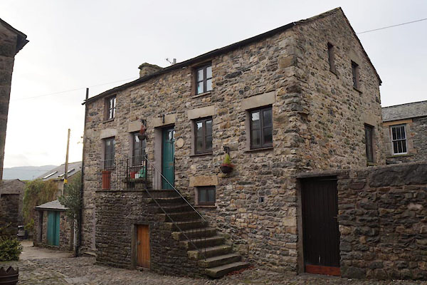
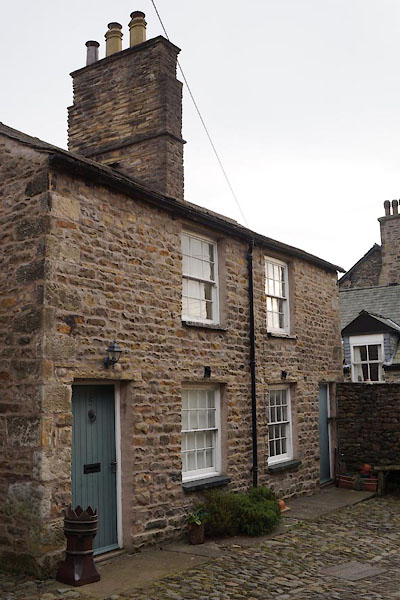
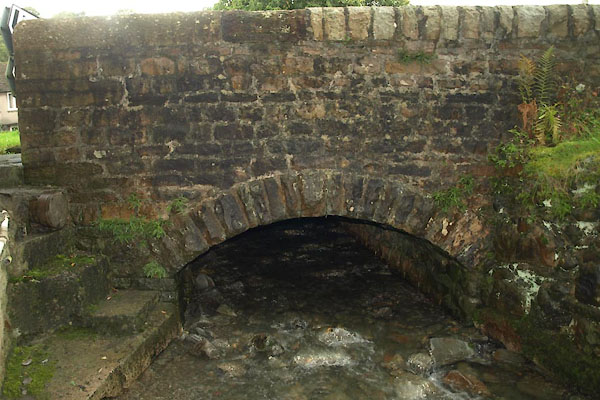
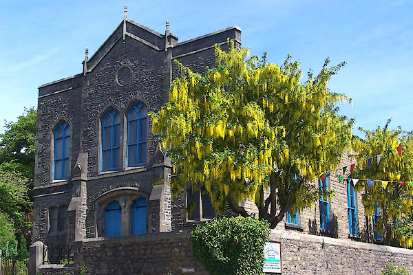
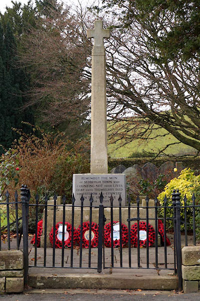
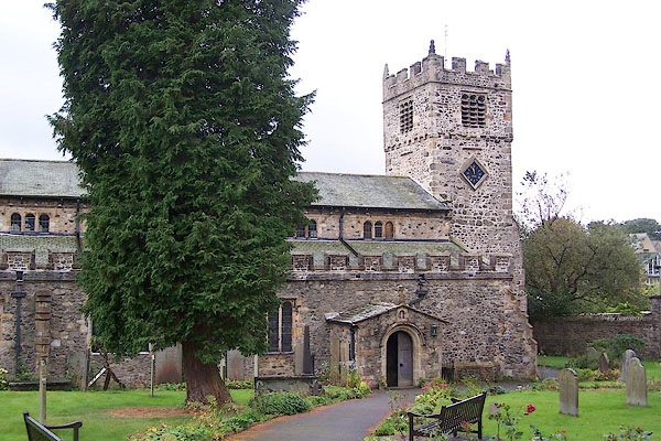
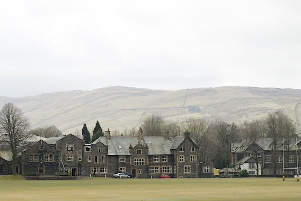
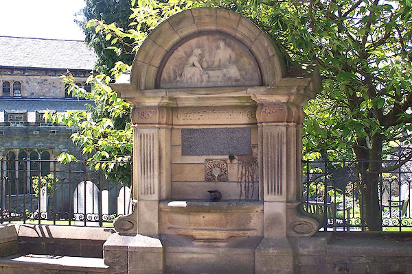
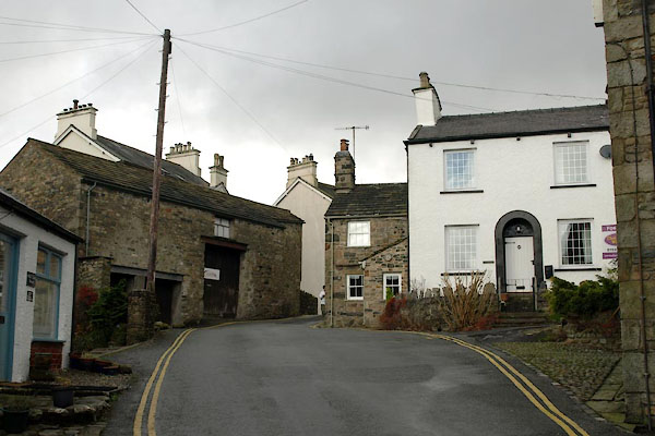
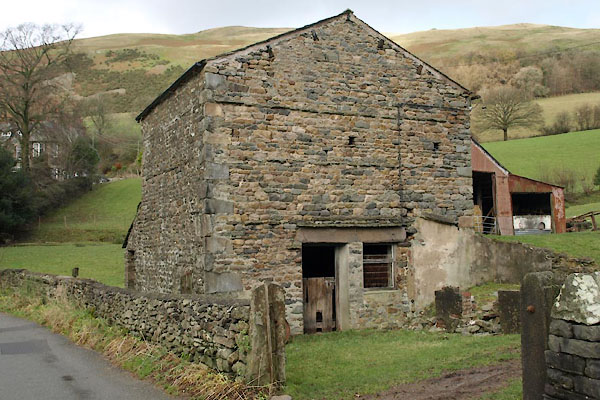
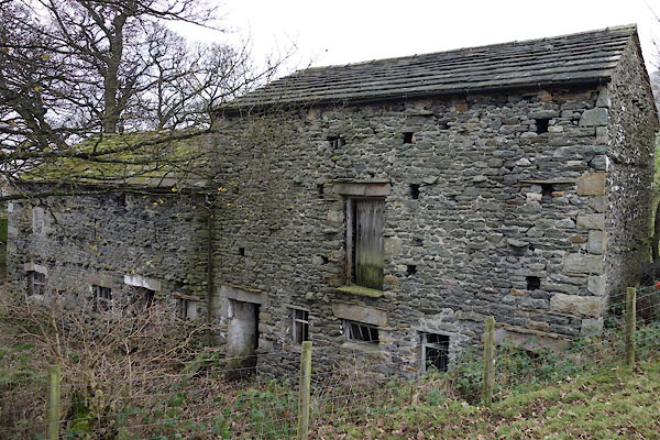
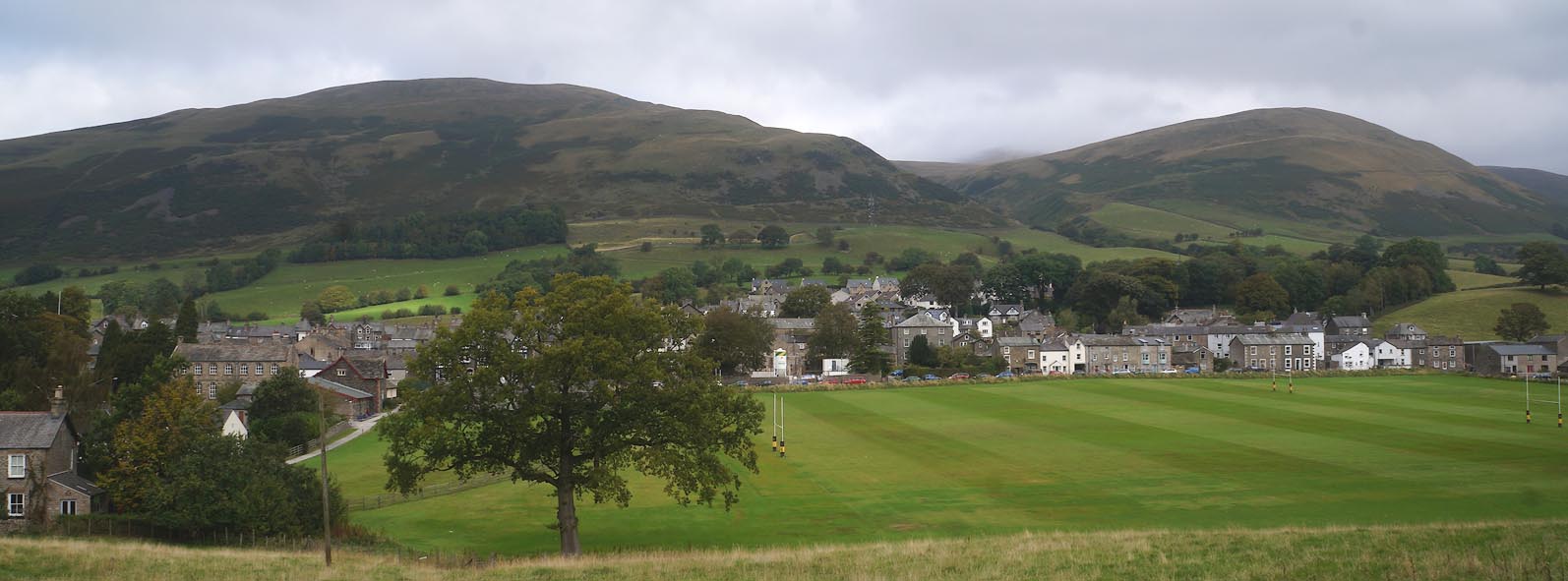 Click to enlarge CBS24.jpg (taken 19.9.2014) 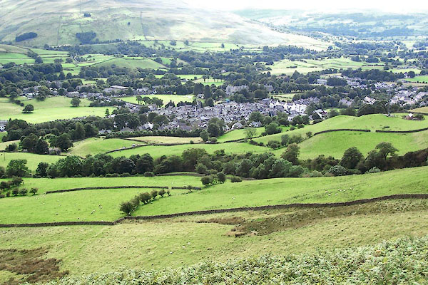 BRH43.jpg (taken 13.8.2009) |
||||
|
|
||||
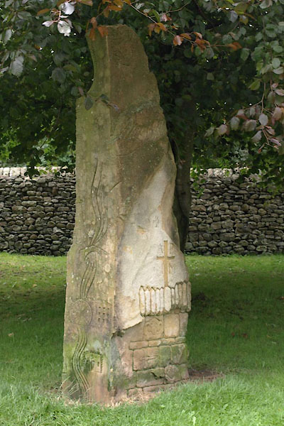
| hearsay:- |
George Fox visited and preached during the hiring fair, June 1652:- |
|||
| "and declared through the fair the day of the Lord, and after I had done I went into
the steeplehouse yard and got up by a tree ... many people were gald at the hearing
of the Truth" |
||||
| the tree was a yew, now gone, its place taken by the grave of Canon Platt. Souvenirs
made of the yew's wood are local treasures. |
||||
|
|
||||
| twinned with:- | Zrece, Slovenia |
|||
|
|
||||
| places:- |
|
|||
|
||||
|
||||
|
||||
|
||||
|
||||
|
||||
|
||||
|
||||
|
||||
|
||||
|
||||
|
||||
|
||||
|
||||
|
||||
|
||||
|
||||
|
||||
|
||||
|
||||
|
||||
|
||||
|
||||
|
||||
|
||||
|
||||
|
||||
|
||||
|
||||
|
||||
|
||||
|
||||
|
||||
|
||||
|
||||
|
||||
|
||||
|
||||
|
||||
|
||||
|
||||
|
||||
|
||||
|
||||
|
||||
|
||||
|
||||
|
||||
|
||||
|
||||
|
||||
|
||||
|
||||
|
||||
|
||||
|
||||
|
||||
|
||||
|
||||
|
||||
|
||||
|
||||
|
||||
|
||||
|
||||
|
||||
|
||||
|
||||
|
||||
|
||||
|
||||
|
||||
|
||||
|
||||
|
||||
|
||||
|
||||
|
||||
|
||||
|
||||
|
||||
|
||||
|
||||
|
||||
|
||||
|
||||
|
||||
|
||||
|
||||
|
||||
|
||||
|
||||
|
||||
|
||||
|
||||
|
||||
|
||||
|
||||
|
||||
|
||||
|
||||
|
||||
|
||||
|
||||
|
||||
|
||||
|
||||
|
||||
|
||||
|
||||
|
||||
|
||||
|
||||
|
||||
|
||||
|
||||
|
||||
|
||||
|
||||
Lakes Guides menu.