Old Cumbria Gazetteer
 |
 |
|
||
| Threlkeld | ||||
| Threlkat | ||||
| Threkit | ||||
| civil parish:- | Threlkeld (formerly Cumberland) | |||
| county:- | Cumbria | |||
| locality type:- | locality | |||
| locality type:- | buildings | |||
| coordinates:- | NY32142536 (etc) | |||
| 1Km square:- | NY3225 | |||
| 10Km square:- | NY32 | |||
|
|
||||
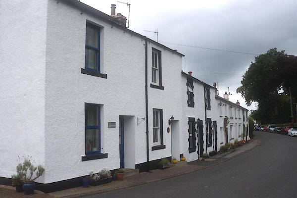
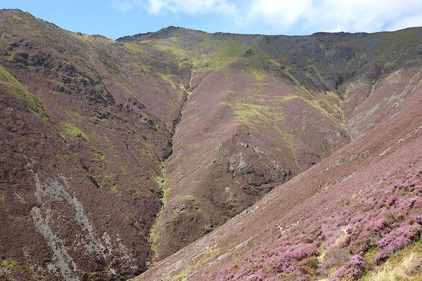
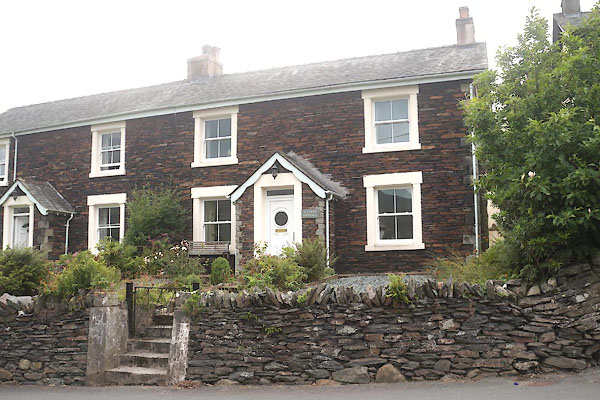
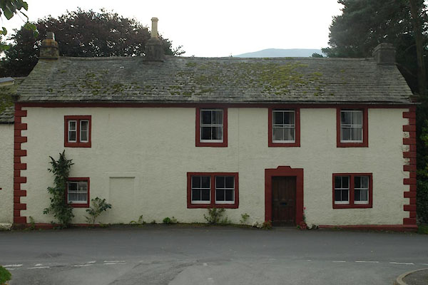
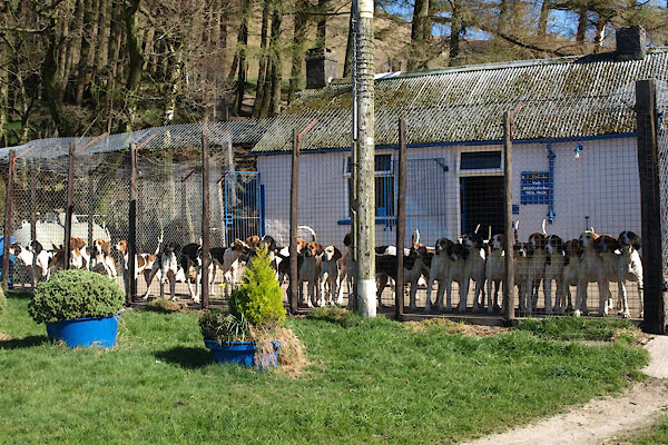
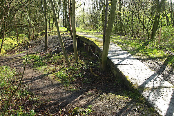
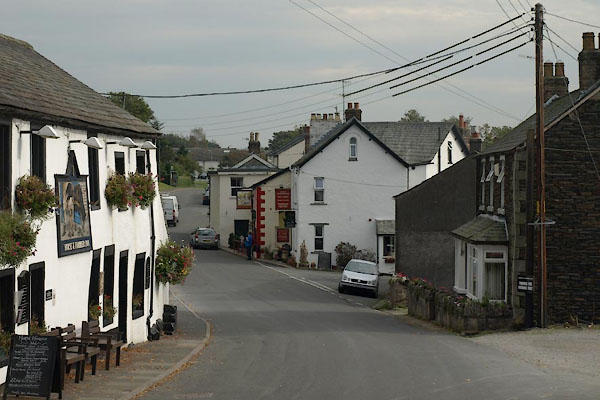 BVK82.jpg (taken 1.10.2011) 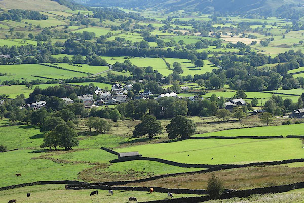 CBO10.jpg (taken 26.8.2014) |
||||
|
|
||||
| evidence:- | old map:- OS County Series (Cmd 56 16) placename:- Threlkeld |
|||
| source data:- | Maps, County Series maps of Great Britain, scales 6 and 25
inches to 1 mile, published by the Ordnance Survey, Southampton,
Hampshire, from about 1863 to 1948. |
|||
|
|
||||
| evidence:- | old map:- Saxton 1579 placename:- Threlcot |
|||
| source data:- | Map, hand coloured engraving, Westmorlandiae et Cumberlandiae Comitatus ie Westmorland
and Cumberland, scale about 5 miles to 1 inch, by Christopher Saxton, London, engraved
by Augustinus Ryther, 1576, published 1579-1645.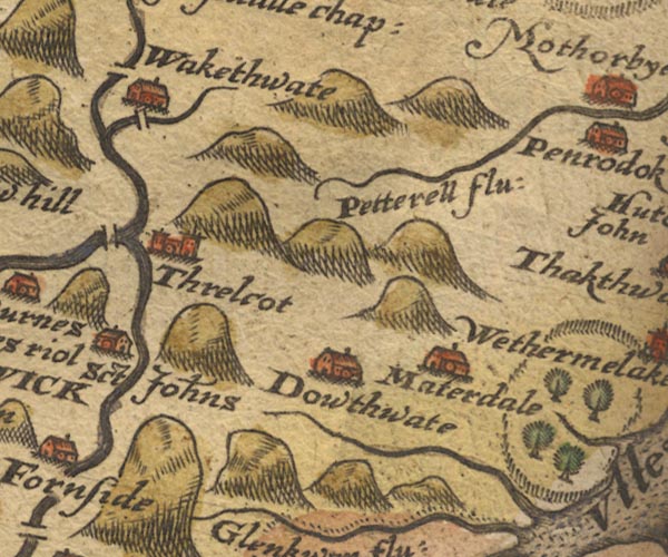 Sax9NY32.jpg Church, symbol for a parish or village, with a parish church. "Threlcot" item:- private collection : 2 Image © see bottom of page |
|||
|
|
||||
| evidence:- | old map:- Mercator 1595 (edn?) placename:- Threlcot |
|||
| source data:- | Map, hand coloured engraving, Northumbria, Cumberlandia, et
Dunelmensis Episcopatus, ie Northumberland, Cumberland and
Durham etc, scale about 6.5 miles to 1 inch, by Gerard Mercator,
Duisberg, Germany, about 1595.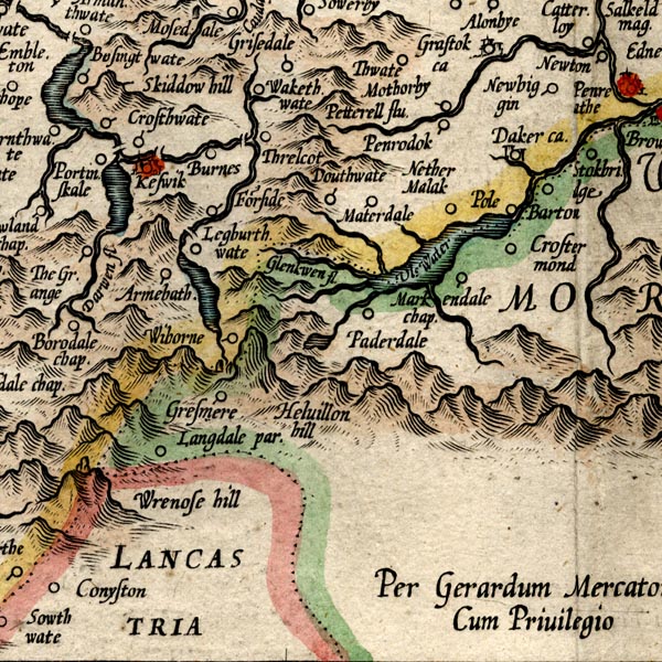 MER8CumF.jpg "Threlcot" circle item:- JandMN : 169 Image © see bottom of page |
|||
|
|
||||
| evidence:- | old map:- Keer 1605 placename:- Threlcot |
|||
| source data:- | Map, hand coloured engraving, Westmorland and Cumberland, scale
about 16 miles to 1 inch, probably by Pieter van den Keere, or
Peter Keer, about 1605 edition perhaps 1676. click to enlarge click to enlargeKER8.jpg "Threlcot" dot, circle and tower; village item:- Dove Cottage : 2007.38.110 Image © see bottom of page |
|||
|
|
||||
| evidence:- | old map:- Speed 1611 (Cmd) placename:- Threlcot |
|||
| source data:- | Map, hand coloured engraving, Cumberland and the Ancient Citie
Carlile Described, scale about 4 miles to 1 inch, by John Speed,
1610, published by J Sudbury and George Humble, Popes Head
Alley, London, 1611-12.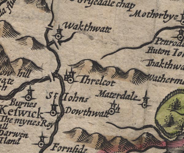 SP11NY32.jpg "Threlcot" circle, building, tower item:- private collection : 16 Image © see bottom of page |
|||
|
|
||||
| evidence:- | old map:- Jenner 1643 placename:- Threlcot |
|||
| source data:- | Tables of distances with a maps, Westmerland, scale about 16
miles to 1 inch, and Cumberland, scale about 21 miles to 1 inch,
published by Thomas Jenner, London, 1643; published 1643-80. JEN4Sq.jpg "Threlcot" circle |
|||
|
|
||||
| evidence:- | old map:- Jansson 1646 placename:- Threlcot |
|||
| source data:- | Map, hand coloured engraving, Cumbria and Westmoria, ie
Cumberland and Westmorland, scale about 3.5 miles to 1 inch, by
John Jansson, Amsterdam, Netherlands, 1646.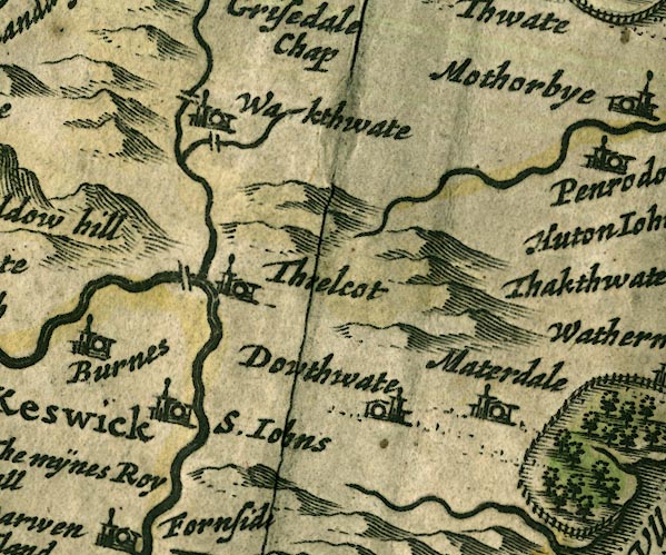 JAN3NY32.jpg "Threlcot" Buildings and tower. item:- JandMN : 88 Image © see bottom of page |
|||
|
|
||||
| evidence:- | old map:- Morden 1695 (Cmd) placename:- Threlkeld |
|||
| source data:- | Map, uncoloured engraving, Cumberland, scale about 4 miles to 1
inch, by Robert Morden, 1695, published by Abel Swale, the
Unicorn, St Paul's Churchyard, Awnsham, and John Churchill, the
Black Swan, Paternoster Row, London, 1695-1715.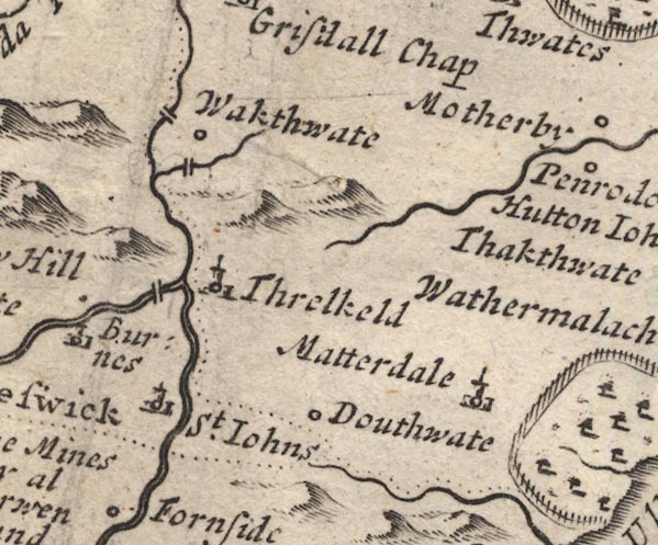 MD12NY32.jpg "Threlkeld" Circle, building and tower. item:- JandMN : 90 Image © see bottom of page |
|||
|
|
||||
| evidence:- | old map:- Badeslade 1742 placename:- Threlkeld |
|||
| source data:- | Map, uncoloured engraving, A Map of Cumberland North from
London, scale about 11 miles to 1 inch, with descriptive text,
by Thomas Badeslade, London, engraved and published by William
Henry Toms, Union Court, Holborn, London, 1742. click to enlarge click to enlargeBD10.jpg "Threlkeld" circle, italic lowercase text; village, hamlet or locality item:- JandMN : 115 Image © see bottom of page |
|||
|
|
||||
| evidence:- | old map:- Bowen and Kitchin 1760 placename:- Threlkeld |
|||
| source data:- | Map, hand coloured engraving, A New Map of the Counties of
Cumberland and Westmoreland Divided into their Respective Wards,
scale about 4 miles to 1 inch, by Emanuel Bowen and Thomas
Kitchin et al, published by T Bowles, Robert Sayer, and John
Bowles, London, 1760.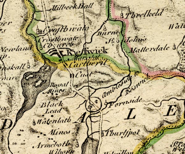 BO18NY21.jpg "Threlkeld" circle, tower item:- Armitt Library : 2008.14.10 Image © see bottom of page |
|||
|
|
||||
| evidence:- | old map:- Donald 1774 (Cmd) placename:- Threlkeld |
|||
| source data:- | Map, hand coloured engraving, 3x2 sheets, The County of Cumberland, scale about 1
inch to 1 mile, by Thomas Donald, engraved and published by Joseph Hodskinson, 29
Arundel Street, Strand, London, 1774.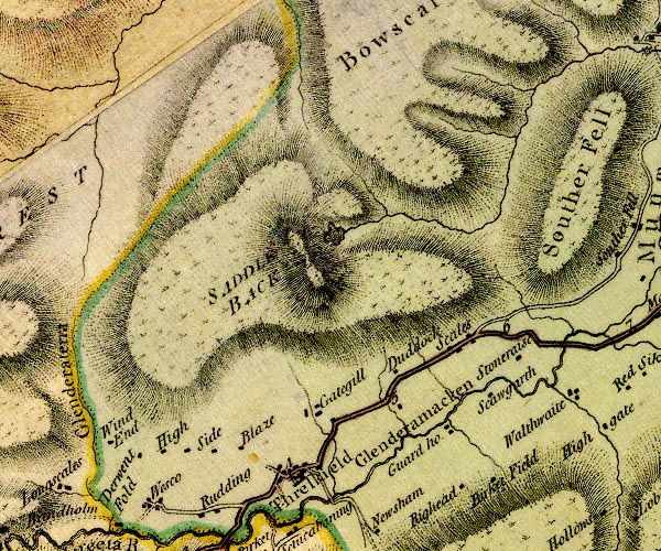 D4NY32NW.jpg "Threlkeld" blocks, and usually a church, labelled in upright lowercase; a village item:- Carlisle Library : Map 2 Image © Carlisle Library |
|||
|
|
||||
| evidence:- | descriptive text:- West 1778 (11th edn 1821) |
|||
| source data:- | Guide book, A Guide to the Lakes, by Thomas West, published by
William Pennington, Kendal, Cumbria once Westmorland, and in
London, 1778 to 1821. goto source goto sourceAddendum; Mr Gray's Journal, 1769 Page 202:- "..." "Oct. 2. I set out at ten for Keswick [from Penrith], ... passed through Penruddock and Threlkeld at the foot of Saddleback, ..." |
|||
|
|
||||
| evidence:- | old map:- West 1784 map placename:- Threlkeld |
|||
| source data:- | Map, hand coloured engraving, A Map of the Lakes in Cumberland,
Westmorland and Lancashire, scale about 3.5 miles to 1 inch,
engraved by Paas, 53 Holborn, London, about 1784.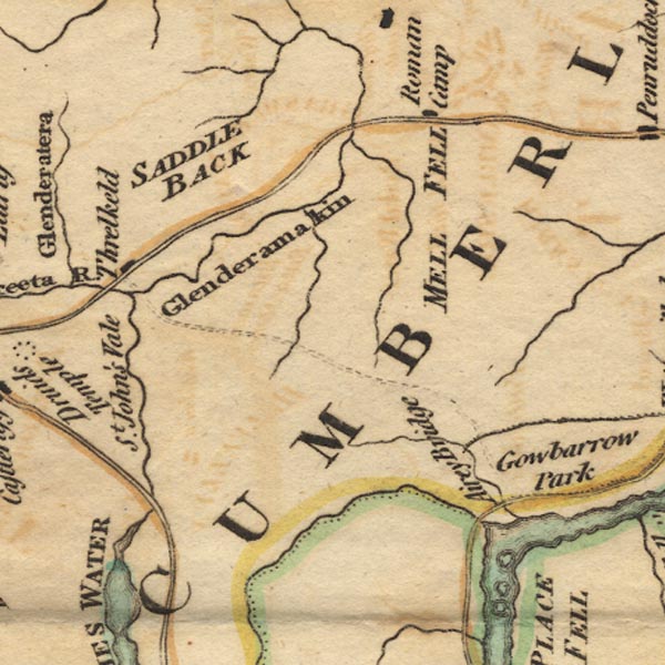 Ws02NY32.jpg item:- Armitt Library : A1221.1 Image © see bottom of page |
|||
|
|
||||
| evidence:- | old text:- Clarke 1787 placename:- Threlkeld |
|||
| source data:- | Guide book, A Survey of the Lakes of Cumberland, Westmorland,
and Lancashire, written and published by James Clarke, Penrith,
Cumberland, and in London etc, 1787; published 1787-93. goto source Page 56:- "..." "Having crossed the bridge near the eleventh-mile post, we enter the manor of THRELKELD, part of the barony of Greystock; most of the inhabitants are freeholders, except a few below the church, which are arbitrary, under the Earl of Londsdale. ..." |
|||
|
|
||||
| evidence:- | old text:- Clarke 1787 placename:- Threlkeld item:- mathematics; castration |
|||
| source data:- | Guide book, A Survey of the Lakes of Cumberland, Westmorland,
and Lancashire, written and published by James Clarke, Penrith,
Cumberland, and in London etc, 1787; published 1787-93. goto source Page 60:- "..." "We now arrived at the village of Threlkeld, a perpetual curacy under Greystock, now worth about L.25 per annum, and once in the possession of a clergyman, not inferior in point of oddity to any of those I have before described. This gentleman, by name Alexander Naughley, was a native of Scotland, but of what part I cannot learn. The cure in his time was very poor, only 8l. 16s.; but as he lived the life of a Diogenes, it was enough. His dress was mean, and even beggarly: he lived alone, without even a servant to do the meanest drudgery for him; his victuals he cooked himself, not very elegantly we may suppose; his bed was straw, with only two blankets. But with all these outward marks of a sloven, no man possessed a greater genius; his wit was ready, his satire keen and undaunted, and his learning extensive: add to this, that he was a facetious and agreeable companion, and though generally fond of the deepest retirement, would have unbended among company, and become the chief promoter of mirth. He had an excellent library, and at his death left behind him several manuscripts on various subjects, and of very great merit. These consisted of a treatise on algebra, conic sections, spherical trigonometry, and other mathematical pieces; he had written several poetical pieces, but most of these he destroyed before his death. His other productions would have shared the same fate, had they not been kept from him by a person to whom he had entrusted them: the state they were found in is scarcely less extraordinary; being wrote upon about sixty loose sheets, tied together with a shoe-maker's waxed thread." "Mr Naughley never was married; but having once some thoughts of entering into that state, he was rejected by the fair one to whom he paid his addresses. Enraged at this disappointment, and to prevent the fair sex from having any farther influence over him, he castrated himself! giving for his reason, "if thy right eye offend thee, &c." in consequence of this operation he grew prodigiously fat, and his voice, (naturally good,) improved much, and continued during his life. He died April 30th 1756, at the age of 76, having served this curacy forty-seven years." "Some anecdotes of him are so extraordinary, that I cannot forbear commiting them to the world. In one of his sermons, speaking about the seeking of honour, he com-" |
|||
| source data:- | goto source Page 61:- "[com]pared it to the courting of a woman, saying, "Importune her, and be earnest upon her, and she is always the shyer; but let her alone, and she will come of herself."" "Another time the Dean Rural visited him in the course of his peregrination, and entering into his house, found great fault with every article of Mr Naughley's dress, furniture, and all parts of his house. The Dean being about to depart, he stopped him, telling him, "Dean, you have not seen the most valuable part of my furniture." The Dean in vain looked, but could not even see any thing decent. "Ah!" says Mr Naughley, "there is Contentment peeping out of every corner of my cot, and you cannot see her; I suppose you are not acquainted with her. Upon the walls of your lordly mansion, and in your bed-chamber, is wrote, Dean and Chapter, after that Bishop. No thought of these here; nor ladies, nor equipage: Contentment keeps them off." Then he repeated to him the sixth Sat. of the second book of Horace, "Hoc erat in votis modus agri non ita magnus." "A little farm, and a pleasant clear spring; a garden and a grove were the utmost of my wish. The gods have in their bounty exceeded my hopes.- I am contented."" |
|||
|
|
||||
| evidence:- | road book:- Cary 1798 (2nd edn 1802) placename:- Threlkeld |
|||
| source data:- | Road book, itineraries, Cary's New Itinerary, by John Cary, 181
Strand, London, 2nd edn 1802. goto source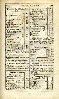 click to enlarge click to enlargeC38733.jpg page 733-734 "Threlkeld" item:- JandMN : 228.2 Image © see bottom of page |
|||
|
|
||||
| evidence:- | old map:- Laurie and Whittle 1806 placename:- Threlkeld |
|||
| source data:- | Road map, Completion of the Roads to the Lakes, scale about 10
miles to 1 inch, by Nathaniel Coltman? 1806, published by Robert
H Laurie, 53 Fleet Street, London, 1834. click to enlarge click to enlargeLw18.jpg "Threlkeld" village or other place item:- private collection : 18.18 Image © see bottom of page |
|||
|
|
||||
| evidence:- | old map:- Cooper 1808 placename:- Threlkeld |
|||
| source data:- | Map, uncoloured engraving, Cumberland, scale about 10.5 miles to
1 inch, drawn and engraved by Cooper, published by R Phillips,
Bridge Street, Blackfriars, London, 1808. click to enlarge click to enlargeCOP3.jpg "Threlkeld" circle; village or hamlet item:- JandMN : 86 Image © see bottom of page |
|||
|
|
||||
| evidence:- | old text:- Wordsworth 1810 placename:- Threlkeld |
|||
| source data:- | Guide book, A Description of the Scenery of the Lakes, later A
Guide through the District of The Lakes, by William Wordsworth,
1810-35. goto source page 47 "... "Sir Launcelot Threlkeld, who lived in the reign of Henry VII., was wont to say, he had three noble houses, one for pleasure, Crosby, in Westmoreland, where he had a park full of deer; one for profit and warmth, wherein to reside in winter, namely, Yanwith, nigh Penrith; and the third, Threlkeld, (on the edge of the Vale of Keswick), well stocked with tenants to go with him to the wars." ..." |
|||
|
|
||||
| evidence:- | old map:- Otley 1818 placename:- Threlkeld |
|||
| source data:- | Map, uncoloured engraving, The District of the Lakes,
Cumberland, Westmorland, and Lancashire, scale about 4 miles to
1 inch, by Jonathan Otley, 1818, engraved by J and G Menzies,
Edinburgh, Scotland, published by Jonathan Otley, Keswick,
Cumberland, et al, 1833.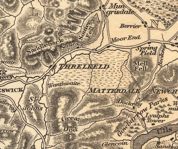 OT02NY32.jpg "THRELKELD" item:- JandMN : 48.1 Image © see bottom of page |
|||
|
|
||||
| evidence:- | old map:- Hall 1820 (Cmd) placename:- Threskeld |
|||
| source data:- | Map, hand coloured engraving, Cumberland, scale about 21 miles
to 1 inch, engraved by Sidney Hall, published by S Leigh, 18
Strand, London, 1820-31. click to enlarge click to enlargeHA14.jpg "Threskeld" circle, italic lowercase text; settlement item:- JandMN : 91 Image © see bottom of page |
|||
|
|
||||
| evidence:- | descriptive text:- Ford 1839 (3rd edn 1843) placename:- Threlkeld |
|||
| source data:- | Guide book, A Description of Scenery in the Lake District, by
Rev William Ford, published by Charles Thurnam, Carlisle, by W
Edwards, 12 Ave Maria Lane, Charles Tilt, Fleet Street, William
Smith, 113 Fleet Street, London, by Currie and Bowman,
Newcastle, by Bancks and Co, Manchester, by Oliver and Boyd,
Edinburgh, and by Sinclair, Dumfries, 1839. goto source Page 94:- "..." "Four miles and a half from Keswick on the Penrith road, is Threlkeld, an irregular built village, on the south side of Blencathra, with a fine view up the vale of Wanthwaite; ..." |
|||
|
|
||||
| evidence:- | old map:- Ford 1839 map placename:- Threlkeld |
|||
| source data:- | Map, uncoloured engraving, Map of the Lake District of
Cumberland, Westmoreland and Lancashire, scale about 3.5 miles
to 1 inch, published by Charles Thurnam, Carlisle, and by R
Groombridge, 5 Paternoster Row, London, 3rd edn 1843. FD02NY32.jpg "Threlkeld" item:- JandMN : 100.1 Image © see bottom of page |
|||
|
|
||||
| evidence:- | old map:- Garnett 1850s-60s H placename:- Threlkeld |
|||
| source data:- | Map of the English Lakes, in Cumberland, Westmorland and
Lancashire, scale about 3.5 miles to 1 inch, published by John
Garnett, Windermere, Westmorland, 1850s-60s. GAR2NY32.jpg "Threlkeld" blocks, settlement item:- JandMN : 82.1 Image © see bottom of page |
|||
|
|
||||
 Martineau Directory 1855 Martineau Directory 1855 |
||||
|
|
||||
| evidence:- | old text:- Martineau 1855 |
|||
| source data:- | Guide book, A Complete Guide to the English Lakes, by Harriet
Martineau, published by John Garnett, Windermere, Westmorland,
and by Whittaker and Co, London, 1855; published 1855-76. goto source Page 70:- "... The village of Threlkeld will, by its name, remind the traveller of the good Lord Clifford, the story of" goto sourcePage 71:- "whose boyhood is familiar to all readers of Wordsworth. That place is, indeed, the refuge where the boy passed his shepherd life; and there is a local tradition that, though he never learned to read or write, during the twenty-four years that he spent in keeping sheep, his astronomical knowledge was considerable, and so interesting to him that he improved it by study after he came to his estates. ..." |
|||
|
|
||||
| evidence:- | old map:- Postlethwaite 1877 (3rd edn 1913) placename:- Threlkeld |
|||
| source data:- | Map, uncoloured engraving, Map of the Lake District Mining Field, Westmorland, Cumberland,
Lancashire, scale about 5 miles to 1 inch, by John Postlethwaite, published by W H
Moss and Sons, 13 Lowther Street, Whitehaven, Cumberland, 1877 edn 1913. PST2NY32.jpg "THRELKELD" dots, roads item:- JandMN : 162.2 Image © see bottom of page |
|||
|
|
||||
| evidence:- | old map:- Post Office 1850s-1900s placename:- Threlkeld |
|||
| source data:- | Post road maps, General Post Office Circulation Map for England
and Wales, for the General Post Office, London, 1850s-1900s. click to enlarge click to enlargePOF7Cm.jpg "Threlkeld" map date 1909 |
|||
|
|
||||
| evidence:- | old map:- Post Office 1850s-1900s placename:- Threlkeld |
|||
| source data:- | Post road maps, General Post Office Circulation Map for England
and Wales, for the General Post Office, London, 1850s-1900s. click to enlarge click to enlargePF10Cm.jpg "Threlkeld" map date 1892 |
|||
|
|
||||
| evidence:- | old map:- Post Office 1850s-1900s placename:- Threlkeld |
|||
| source data:- | Post road maps, General Post Office Circulation Map for England
and Wales, for the General Post Office, London, 1850s-1900s.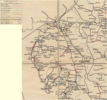 click to enlarge click to enlargePOF2Cm.jpg "Threlkeld" map date 1890 |
|||
|
|
||||
| :- |
images courtesy of the British Postal Museum and Hampshire CC Museums |
|||
|
|
||||
| evidence:- | old print:- Bogg 1898 |
|||
| source data:- | Print, engraving, The Shepherd Lord and Anne St John, near Threlkeld, Cumberland,
by Gilbert Foster, published by Edmund Bogg, 3 Woodhouse Lane, and James Miles, Guildford
Street, Leeds, Yorkshire, 1898.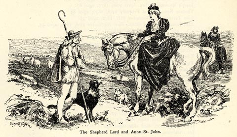 click to enlarge click to enlargeBGG145.jpg Included on p.150 of Lakeland and Ribblesdale, by Edmund Bogg; an imaginative scene. item:- JandMN : 231.45 Image © see bottom of page |
|||
|
|
||||
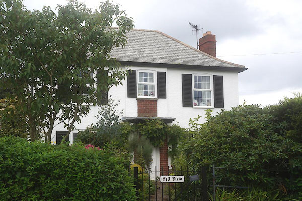
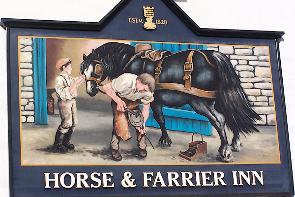
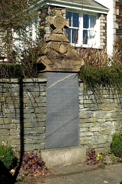
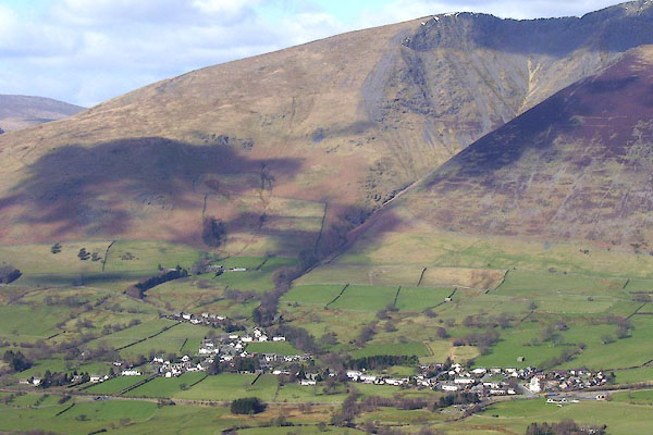 BOV15.jpg (taken 17.3.2008) |
||||
|
|
||||
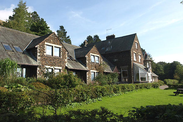
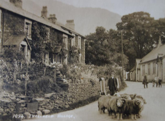 BYZ09.jpg Herdwick tups. |
||||
|
|
||||
| places:- |
|
|||
|
||||
|
||||
|
||||
|
||||
|
||||
|
||||
|
||||
|
||||
|
||||
|
||||
|
||||
|
||||
|
||||
|
||||
|
||||
|
||||
|
||||
|
||||
|
||||
|
||||
|
||||
|
||||
|
||||
|
||||
|
||||
|
||||
|
||||
|
||||
|
||||
|
||||
|
||||
|
||||
|
||||
|
||||
Lakes Guides menu.