 Otley 1818 NY00


|

|
|
|
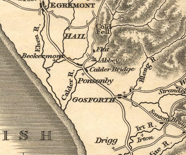
gazetteer links places may or may not be labelled on the map |
||

|
-- Abbey Flatts |
|
|
|
-- Beckermet |
|
|
|
-- Bleng, River -- "Bleng R." |
|
|
|
-- Calder, River -- "Calder R." |
|
|
|
-- Cold Fell |
|
|
|
-- Ehen, River -- "Ehen R." |
|
|
|
-- Gosforth -- "GOSFORTH" |
|
|
|
-- Haile -- "HAIL" |
|
|
|
-- Irt, River -- "Irt R." |
|
|
|
-- Irton |
|
|
|
-- Ponsonby |
|
|
civil parishes The area roughly includes parts of parishes:- Drigg and Carleton Irton with Santon Seascale Ponsonby Gosforth Haile St Bridget Beckermet Lowside Quarter Ennerdale and Kinniside Egremont St John Beckermet |
||
|
|
||
|
|
Lakes Guides menu. | |