Old Cumbria Gazetteer
 |
 |
|
||
| Alston | ||||
| civil parish:- | Alston Moor (formerly Cumberland) | |||
| county:- | Cumbria | |||
| locality type:- | locality | |||
| locality type:- | buildings | |||
| locality type:- | selected place | |||
| coordinates:- | NY71874649 (etc) | |||
| 1Km square:- | NY7146 | |||
| 10Km square:- | NY74 | |||
| latitude; longitude:- | 2d 26.3m W; 54d 48.7m N | |||
|
|
||||
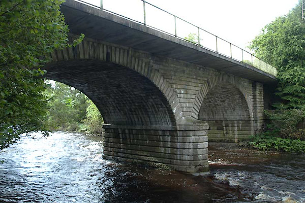
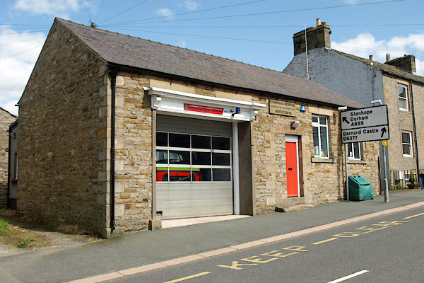
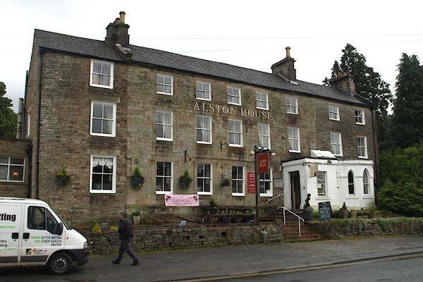
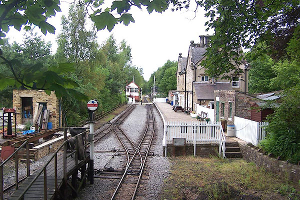
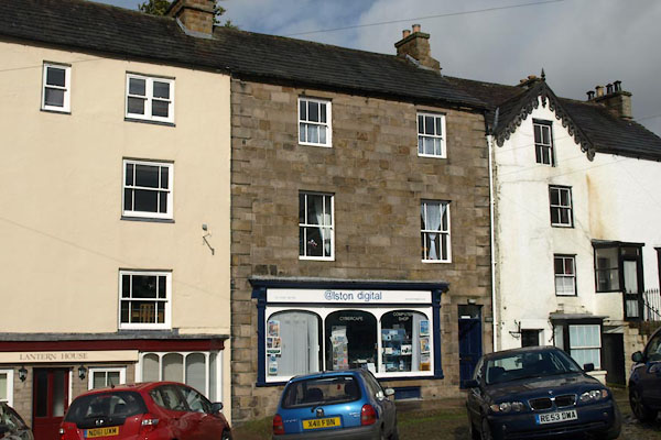
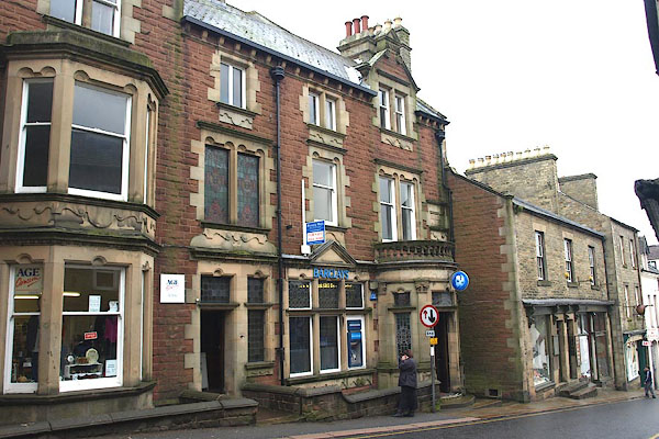
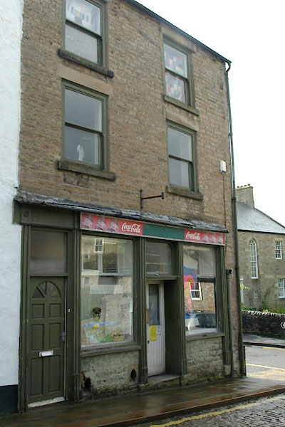
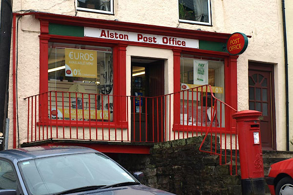
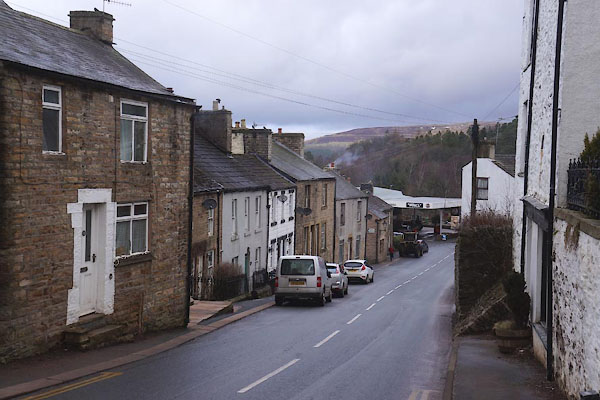
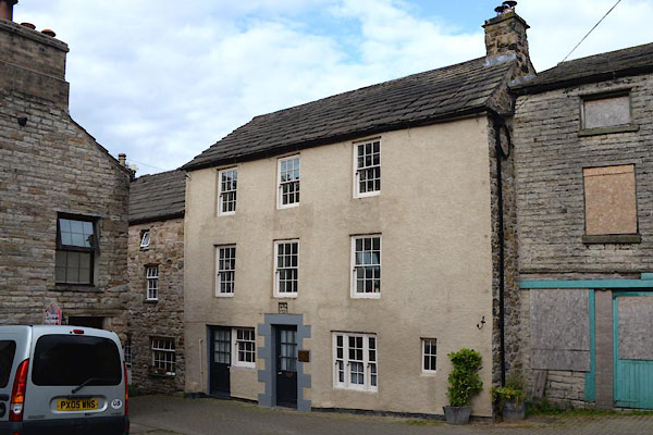
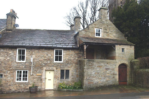
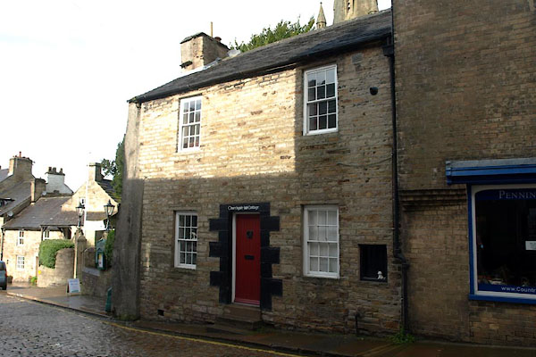
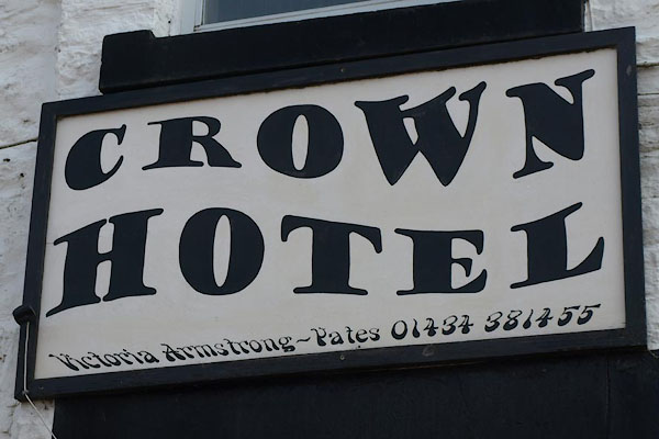
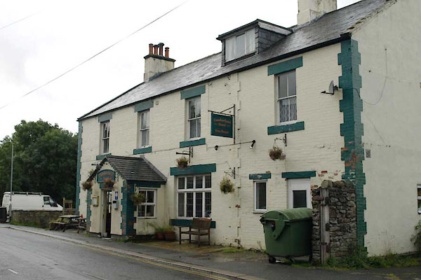
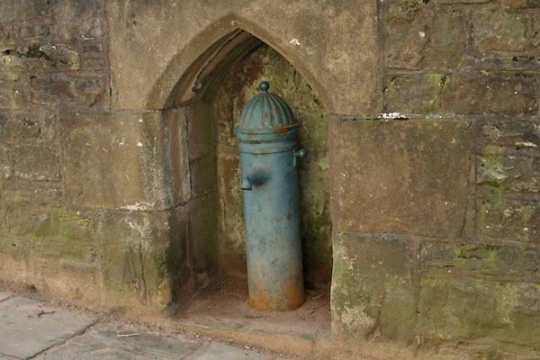
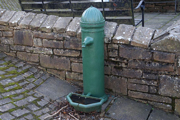
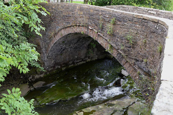
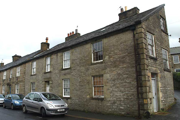
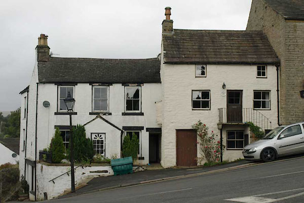
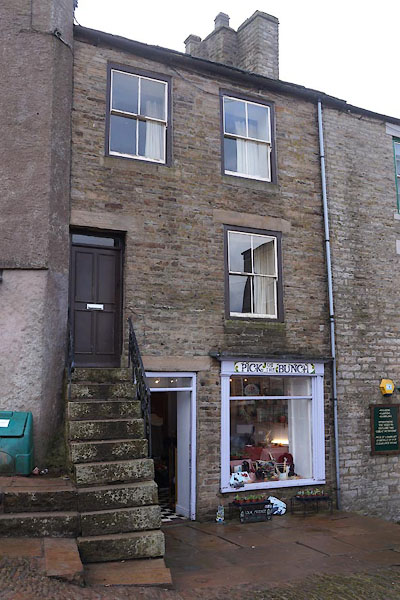
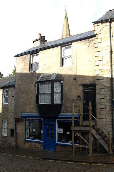
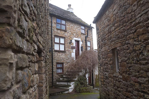
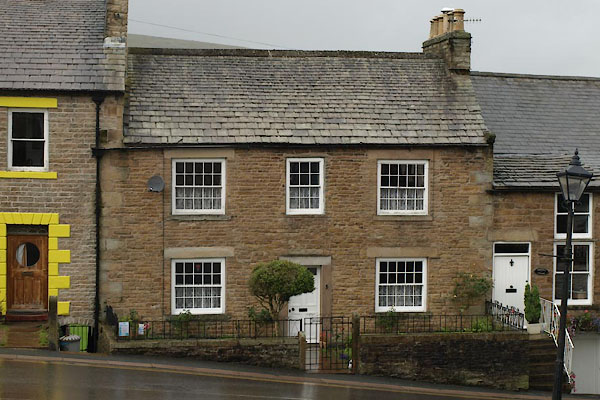
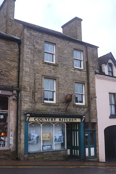
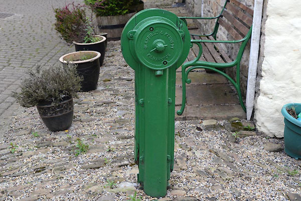
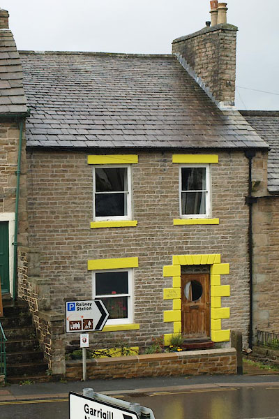
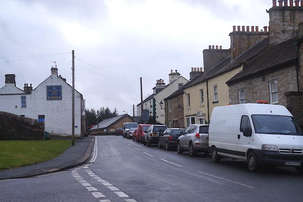
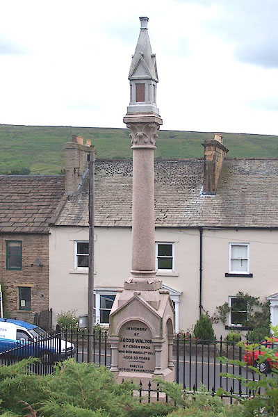
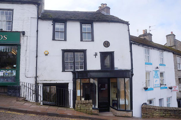
 BUJ32.jpg Front Street. (taken 23.4.2011) 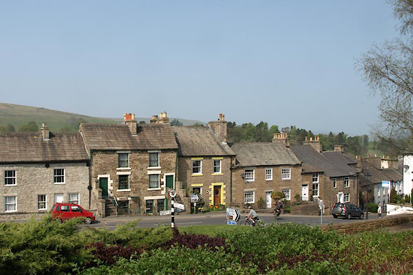 BUJ35.jpg Station Road. (taken 23.4.2011) |
||||
|
|
||||
| evidence:- | old map:- OS County Series (Cmd 34 9) placename:- Alston |
|||
| source data:- | Maps, County Series maps of Great Britain, scales 6 and 25
inches to 1 mile, published by the Ordnance Survey, Southampton,
Hampshire, from about 1863 to 1948. |
|||
|
|
||||
| evidence:- | old map:- Gough 1350s-60s placename:- Aldeston in Mora |
|||
| source data:- | Map, colour photozincograph copy, reduced size facsimile, Gough
Map of Britain, scale about 28.5 miles to 1 inch, published by
the Ordnance Survey, Southampton, Hampshire, 1875.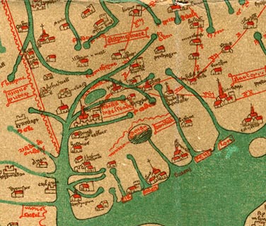 click to enlarge click to enlargeGgh1Cm.jpg item:- JandMN : 33 Image © see bottom of page |
|||
|
|
||||
| evidence:- | old map:- Gough 1350s-60s placename:- Aldeston in Mora |
|||
| source data:- | Map, lithograph facsimile, Gough Map of Britain, 20 miles to 1
inch? published by the Ordnance Survey, Southampton, Hampshire,
1935.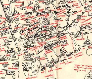 click to enlarge click to enlargeGgh2Cm.jpg item:- JandMN : 34 Image © see bottom of page |
|||
|
|
||||
| evidence:- | old map:- Saxton 1579 placename:- Austermore |
|||
| source data:- | Map, hand coloured engraving, Westmorlandiae et Cumberlandiae Comitatus ie Westmorland
and Cumberland, scale about 5 miles to 1 inch, by Christopher Saxton, London, engraved
by Augustinus Ryther, 1576, published 1579-1645.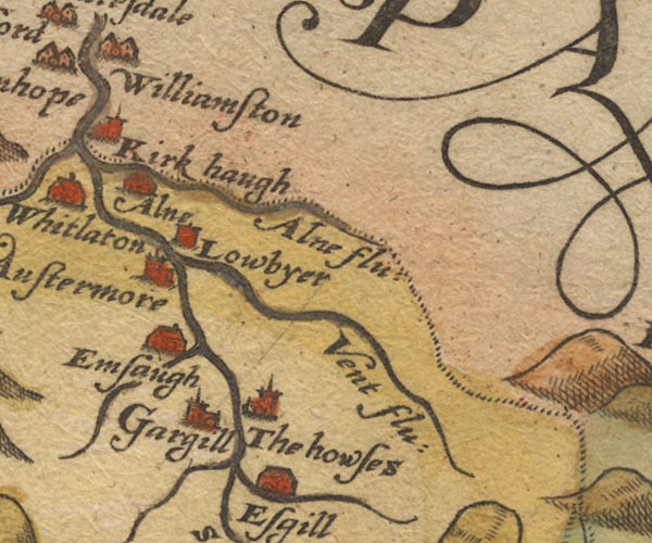 Sax9NY74.jpg Church, symbol for a parish or village, with a parish church. "Austermore" item:- private collection : 2 Image © see bottom of page |
|||
|
|
||||
| evidence:- | old map:- Mercator 1595 (edn?) placename:- Austane |
|||
| source data:- | Map, hand coloured engraving, Northumbria, Cumberlandia, et
Dunelmensis Episcopatus, ie Northumberland, Cumberland and
Durham etc, scale about 6.5 miles to 1 inch, by Gerard Mercator,
Duisberg, Germany, about 1595.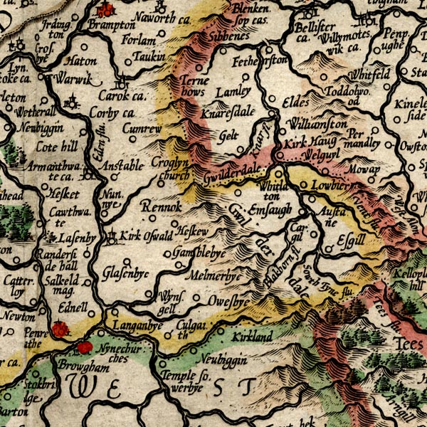 MER8CumD.jpg "Austane" circle item:- JandMN : 169 Image © see bottom of page |
|||
|
|
||||
| evidence:- | old map:- Speed 1611 (Cmd) placename:- Austermore |
|||
| source data:- | Map, hand coloured engraving, Cumberland and the Ancient Citie
Carlile Described, scale about 4 miles to 1 inch, by John Speed,
1610, published by J Sudbury and George Humble, Popes Head
Alley, London, 1611-12.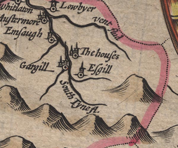 SP11NY74.jpg "Austermore" circle, building, tower item:- private collection : 16 Image © see bottom of page |
|||
|
|
||||
| evidence:- | old map:- Jansson 1646 placename:- Austermore |
|||
| source data:- | Map, hand coloured engraving, Cumbria and Westmoria, ie
Cumberland and Westmorland, scale about 3.5 miles to 1 inch, by
John Jansson, Amsterdam, Netherlands, 1646. JAN3NY74.jpg "Austermore" Buildings and tower. item:- JandMN : 88 Image © see bottom of page |
|||
|
|
||||
| evidence:- | old map:- Morden 1695 (EW) placename:- Alstonmore |
|||
| source data:- | Map, hand coloured engraving, England, including Wales, scale
about 27 miles to 1 inch, by Robert Morden, published by Abel
Swale Awnsham and John Churchil, London, about 1695. click to enlarge click to enlargeMRD3Cm.jpg "Alstonmore" circle; village or town item:- JandMN : 339 Image © see bottom of page |
|||
|
|
||||
| evidence:- | old map:- Morden 1695 (Cmd) placename:- Alstonmoor |
|||
| source data:- | Map, uncoloured engraving, Cumberland, scale about 4 miles to 1
inch, by Robert Morden, 1695, published by Abel Swale, the
Unicorn, St Paul's Churchyard, Awnsham, and John Churchill, the
Black Swan, Paternoster Row, London, 1695-1715.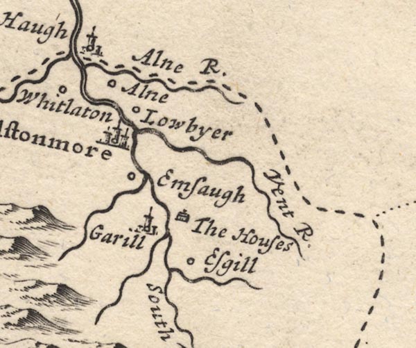 MD12NY74.jpg "Alstonmoor" Circle, buildings, towers. item:- JandMN : 90 Image © see bottom of page |
|||
|
|
||||
| evidence:- | old map:- Badeslade 1742 placename:- Alstonmore |
|||
| source data:- | Map, uncoloured engraving, A Map of Cumberland North from
London, scale about 11 miles to 1 inch, with descriptive text,
by Thomas Badeslade, London, engraved and published by William
Henry Toms, Union Court, Holborn, London, 1742. click to enlarge click to enlargeBD10.jpg "Alstonmore" circle, tower/s, upright lowercase text; town item:- JandMN : 115 Image © see bottom of page |
|||
|
|
||||
| evidence:- | descriptive text:- Simpson 1746 placename:- Astonmore |
|||
| source data:- | Atlas, three volumes of maps and descriptive text published as
'The Agreeable Historian, or the Compleat English Traveller
...', by Samuel Simpson, 1746. goto source goto source"The principal Towns in Cumberland, are, ... Alstodmore, ..." goto source"... Somewhat to the N.W. of this [Kirkoswald], is" "Astonmore, a small Market Town, on the Banks of the River Eln, of which there is nothing to be said, but that the Market is here kept on Saturdays." |
|||
|
|
||||
| evidence:- | old text:- Gents Mag placename:- Aldstone item:- guide; map |
|||
| source data:- | Magazine, The Gentleman's Magazine or Monthly Intelligencer or
Historical Chronicle, published by Edward Cave under the
pseudonym Sylvanus Urban, and by other publishers, London,
monthly from 1731 to 1922. goto source Gentleman's Magazine 1747 p.385 "Aldstone is the nearest town where one can get a safe conductor to cross these almost impervious wastes, a country extremely ill represented in all our maps yet published, ..." |
|||
|
|
||||
| evidence:- | old map:- Bickham 1753-54 (Cmd) placename:- Allstonmore |
|||
| source data:- | Map, uncoloured engraving, perspective map, Map of Cumberland
North from London, by George Bickham, James Street, Bunhill
Fields, London, 1753, published by F Jollie and Sons, Carlisle,
Cumberland, 1811. click to enlarge click to enlargeJL05.jpg "Allstonmore" view (sort of) item:- Carlisle Library : 4.2 Image © Carlisle Library |
|||
|
|
||||
| evidence:- | old map:- Bowen and Kitchin 1760 placename:- Alston More |
|||
| source data:- | Map, hand coloured engraving, A New Map of the Counties of
Cumberland and Westmoreland Divided into their Respective Wards,
scale about 4 miles to 1 inch, by Emanuel Bowen and Thomas
Kitchin et al, published by T Bowles, Robert Sayer, and John
Bowles, London, 1760.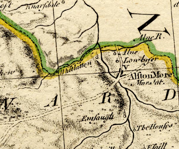 BO18NY74.jpg "Alston More Mar. Sat. / V" blocks, on road, town, market item:- Armitt Library : 2008.14.10 Image © see bottom of page |
|||
|
|
||||
| evidence:- | old text:- Pennant 1773 placename:- Alston Moor item:- lead ore; Greenwich Hospital; 1715 Rebellion; rebellion, 1715 |
|||
| source data:- | Book, A Tour from Downing to Alston Moor, 1773, by Thomas
Pennant, published by Edward Harding, 98 Pall Mall, London, 1801. goto source Pennant's Tour 1773, page 187 "..." "Alston Moor, a mine, and market-town, consisting of a number of small houses covered with flags, built irregularly, and extending lengthways up the side of a hill. This manor had been at different times the property of the Veteriponts. In the reign of Henry V. of John de Clifford; in that of his successor, of Thomas Whitlow, who granted it to William Stapleton and his wife. Mary, co-heiress of that house, conveyed it to a second son of Sir Richard Musgrave of Hartley-castle. It afterwards devolved to a Hilton, son of that Lady by a first husband. His descendants possessed it till the time of James I. when Henry Hilton of Hilton, esq. sold it to Francis Ratcliff baron of Dilston near Hexham in Northumberland, in whose house it continued till the attainder of the unfortunate James earl of Derwentwater in 1715. The estates of that Nobleman in this county are extremely rich in lead ore. It appears by the Moor-master's books, as related by Dr. Burn, that in three years, viz. 1766, 1767, and 1768, the mines produced sixty-one thousand eight hundred and thirty byngs" goto sourcePennant's Tour 1773, page 188 "of ore, which, at the valuation of each byng, in those years, at 2l. 15s. each, amounted to the vast sum of 170,032l. 10s. This, and the other estates of Lord Derwentwater, were, by Act of Parliament, in 1735, vested in Greenwich-hospital, and bring in a vast revenue to that magnificent and useful foundation. At the time of the forfeiture they were supposed to amount to about seven thousand pounds a year; yet, by the contrivance or connivance of the Commissioners of the Forfeited Estates, were sold for the sum of 1060l. The villainy of the transaction was detected, in 1732, by the sagacity and pains of Thomas lord Gage, then in the House of Commons, who was honoured by the thanks of the House for his services. Two of the Members concerned as commissioners in this infamous affair, were expelled; and a third, who appeared to have been drawn into an irregularity only in the proceedings, received a reprimand from the Speaker in his place. This ought to be an example to posterity, particularly to men in power, who may attempt, under specious pretences, the destruction of benefits intended for the public good, whether the foundation be recent or ancient; whether it be the alienation of Church Lands, or of those allotted for the support of the Poor. The securities" goto sourcePennant's Tour 1773, page 189 "are now good, the tenures firm. If they should be disposed of for money, every day may produce instances of the loss sustained by the laying out improperly for selfish ends. The same may happen in an exchange for other lands. A little recollection will remind us of the sums endangered to the Poor, by the laying out on the temporary mortgages of tolls of turnpikes. It cannot be doubted that, when Parliament takes into consideration the movements of the lesser wheels of government and policy, it will not neglect an inspection into these breaches of trust, and cause full justice to be executed upon those who may have dared to abuse the most sacred of deposits." |
|||
|
|
||||
| evidence:- | old map:- Donald 1774 (Cmd) placename:- Aldstone |
|||
| source data:- | Map, hand coloured engraving, 3x2 sheets, The County of Cumberland, scale about 1
inch to 1 mile, by Thomas Donald, engraved and published by Joseph Hodskinson, 29
Arundel Street, Strand, London, 1774. D4NY74NW.jpg "ALDSTONE" blocks, perhaps a church, labelled in block caps; a town and street plan item:- Carlisle Library : Map 2 Image © Carlisle Library |
|||
|
|
||||
| evidence:- | old map:- Donald 1774 (Cmd) placename:- Aldstone |
|||
| source data:- | Map, hand coloured engraving, 3x2 sheets, The County of Cumberland, scale about 1
inch to 1 mile, by Thomas Donald, engraved and published by Joseph Hodskinson, 29
Arundel Street, Strand, London, 1774.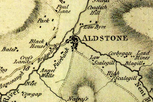 DN04Alst.jpg "ALDSTONE" Labelled in block caps for a market town; street map. item:- Carlisle Library : Map 2 Image © Carlisle Library |
|||
|
|
||||
| evidence:- | old map:- Pennant 1777 placename:- Alstonmoor |
|||
| source data:- | Map, hand coloured engraving, A Map of Scotland, Hebrides and
Part of England, drawn for Thomas Pennant, engraved by J Bayly,
published by Benjamin White, London, 1777. click to enlarge click to enlargePEN1Cm.jpg "Alstonmoor" circle; buildings, village, etc item:- private collection : 66 Image © see bottom of page |
|||
|
|
||||
| evidence:- | old map:- Aikin 1790 (Cmd) placename:- Alston |
|||
| source data:- | Map, uncoloured engraving, Cumberland, by John Aikin, London,
1790. click to enlarge click to enlargeAIK3.jpg "Alston" circle; town item:- JandMN : 145 Image © see bottom of page |
|||
|
|
||||
| evidence:- | old map:- Bailey 1797 placename:- Alston |
|||
| source data:- | Map, soil etc, uncoloured engraving, Cumberland, scale about 21
miles to 1 inch, by J Bailey, engraved by Neele, Strand,
published by Messrs Robinson, Paternoster Row and G Nicol, Pall
Mall, London, 1797. click to enlarge click to enlargeBY04.jpg "Alston" group of blocks; town item:- Armitt Library : A680.2 Image © see bottom of page |
|||
|
|
||||
| evidence:- | road book:- Cary 1798 (2nd edn 1802) placename:- Aldstone Moor |
|||
| source data:- | Road book, itineraries, Cary's New Itinerary, by John Cary, 181
Strand, London, 2nd edn 1802. goto source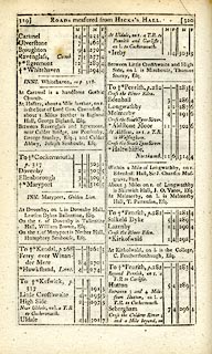 click to enlarge click to enlargeC38319.jpg page 319-320 "Aldstone Moor / At Aldstone Moor, on r. a T.R. to Wolsingham." market town item:- JandMN : 228.1 Image © see bottom of page |
|||
|
|
||||
| evidence:- | old map:- Laurie and Whittle 1806 placename:- Aldstone Moor |
|||
| source data:- | Road map, Continuation of the Roads to Glasgow and Edinburgh,
scale about 10 miles to 1 inch, by Nathaniel Coltman? 1806,
published by Robert H Laurie, 53 Fleet Street, London, 1834. click to enlarge click to enlargeLw21.jpg "Aldstone Moor 271" market town; distance from London item:- private collection : 18.21 Image © see bottom of page |
|||
|
|
||||
| evidence:- | old text:- Capper 1808 placename:- Aldston Moor placename:- Alston Moor item:- population; market |
|||
| source data:- | Gazetteer, A Topographical Dictionary of the United Kingdom,
compiled by Benjamin Pitts Capper, published by Richard
Phillips, Bridge Street, Blackfriars, London, 1808; published
1808-29. goto source "..." "ALSTON-MOOR. See ALDSTONE-MOOR, Cumberland." "..." "ALDSTON-MOOR, a parish and market town in Leath ward, Cumberland, 302 miles from London; contains 316 houses and 3626 inhabitants. The town stands on a hill, at the bottom of which runs the river Tyne, over which is a stone bridge. This is the most mountainous and romantic part of the borders of Northumberland. The environs abound with lead mines. The nearest post town is Hexham, distant 11 miles. It is a curacy. Market on Saturday." "..." |
|||
|
|
||||
| evidence:- | old map:- Wallis 1810 (Cmd) placename:- Alston Moor |
|||
| source data:- | Road map, hand coloured engraving, Cumberland, scale about 16
miles to 1 inch, by James Wallis, 77 Berwick Stree, Soho,
London, 1810. click to enlarge click to enlargeWL13.jpg "Alston Moor / 276" town; distance from London item:- Dove Cottage : 2009.81.10 Image © see bottom of page |
|||
|
|
||||
| evidence:- | old map:- Hall 1820 (Cmd) placename:- Aldstone |
|||
| source data:- | Map, hand coloured engraving, Cumberland, scale about 21 miles
to 1 inch, engraved by Sidney Hall, published by S Leigh, 18
Strand, London, 1820-31. click to enlarge click to enlargeHA14.jpg "Aldstone / 302" circle, upright lowercase text; town; distance from London item:- JandMN : 91 Image © see bottom of page |
|||
|
|
||||
| evidence:- | old map:- Perrot 1823 placename:- Aldstonmoor |
|||
| source data:- | Map, hand coloured engraving, Cumberland and Westmoreland ie
Westmorland, scale about 38 miles to 1 inch, by Aristide Michel
Perrot, engraved by Migneret, 1823, published by Etienne Ledoux,
9 Rue Guenegaud, Paris, France, 1824-48.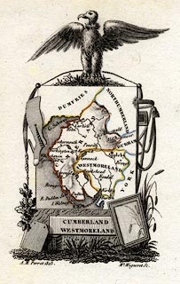 click to enlarge click to enlargePER2.jpg "Aldstonmoor" circle; town item:- Dove Cottage : 2007.38.45 Image © see bottom of page |
|||
|
|
||||
| evidence:- | old map:- Greenwood 1824 placename:- Aldstone |
|||
| source data:- | Map, engraving, Map of the County of Cumberland, scale about 1
inch to 1 mile, etc, by Christopher and John Greenwood,
published by George Pringle jnr, 70 Queen Street, Cheapside,
London, 1823. gw12alst.jpg "ALDSTONE" street map; labelled in block caps for a market town item:- National Library of Scotland : EME.b.3.11 Image © National Library of Scotland |
|||
|
|
||||
| evidence:- | old map:- Cobbett 1832 placename:- Aldston Moor |
|||
| source data:- | Map, uncoloured engraving, Cumberland, scale about 20 miles to 1
inch, by William Cobbett, 11 Bolt Court, Fleet Street, London,
1832.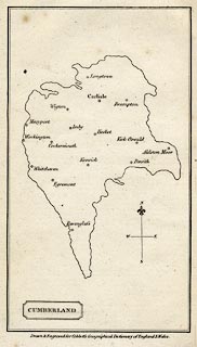 click to enlarge click to enlargeCOB5.jpg "Aldston Moor" dot and circle; town item:- JandMN : 117 Image © see bottom of page |
|||
|
|
||||
| evidence:- | old map:- Ford 1839 map placename:- Aldstone |
|||
| source data:- | Map, uncoloured engraving, Map of the Lake District of
Cumberland, Westmoreland and Lancashire, scale about 3.5 miles
to 1 inch, published by Charles Thurnam, Carlisle, and by R
Groombridge, 5 Paternoster Row, London, 3rd edn 1843.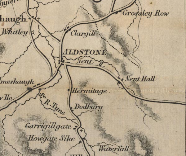 FD02NY74.jpg "Aldstone" item:- JandMN : 100.1 Image © see bottom of page |
|||
|
|
||||
| evidence:- | old itinerary:- Johnson 1908 (Roads/Cum) placename:- Alston |
|||
| source data:- | Itinerary, Route 43 in Roads Made Easy by Picture and Pen, Doncaster to Glasgow, through
Alston, by Claude Johnson, edited by Lord Montagu, published by The Car Illustrated,
168 Piccadilly, London, 1908.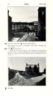 click to enlarge click to enlargeJS5096.jpg pp.93-97 in the road book, Roads Made Easy by Picture and Pen, vol.3. printed at beginning, p.93:- "ROUTE 43. / DONCASTER via Boroughbridge (43½), Scotch Corner (72½), Barnard Castle (85½), Middleton-in-Teesdale (96½), Alston (118½), Longtown (148½), Gretna (155¼), to GLASGOW (240½)." item:- private collection : 268.14 Image © see bottom of page |
|||
|
|
||||
| evidence:- | old itinerary:- Johnson 1908 (Roads/Cum) placename:- Alston |
|||
| source data:- | Itinerary, Route 43 reverse in Roads Made Easy by Picture and Pen, Glasgow to Doncaster,
through Alston, by Claude Johnson, edited by Lord Montagu, published by The Car Illustrated,
168 Piccadilly, London, 1908.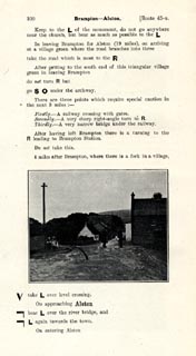 click to enlarge click to enlargeJS5100.jpg pp.98-106 in the road book, Roads Made Easy by Picture and Pen, vol.3. printed at beginning, p.98:- "ROUTE 43. Reverse. / GLASGOW via Gretna (85¼), Longtown (92), Alston (122), Middleton-in-Teesdale (144), Barnard Castle (155), Scotch Corner (168), Boroughbridge (197) to DONCASTER 240½)." 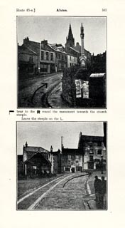 click to enlarge click to enlargeJS5101.jpg 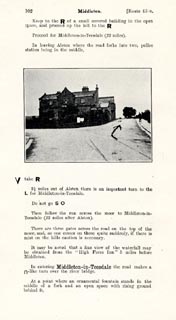 click to enlarge click to enlargeJS5102.jpg item:- private collection : 268.15 Image © see bottom of page |
|||
|
|
||||
| evidence:- | market notes:- placename:- Alston More item:- market |
|||
| source data:- | Owen: 1792: New Book of Fairs: 1889: Market Rights and Tolls: HM GovernmentBowen, Emanuel &Kitchin, Thomas: 1760: New Map of the Counties of Cumberland and Westmoreland | |||
|
|
||||
 Post Office maps 1807-1892 Post Office maps 1807-1892 |
||||
|
|
||||
| evidence:- | old print:- Wallace 1890 placename:- Alston |
|||
| source data:- | Print, lithograph, Alston, from a photograph by T Bramwell, Alston, Cumberland, published
by Mawson, Swan and Morgan, Grey Street, Newcastle upon Tyne, Northumberland, 1890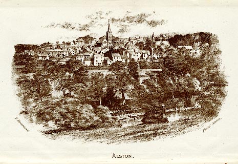 click to enlarge click to enlargeWC0201.jpg Frontispiece to Alston Moor, its Pastoral People, its Mines and Miners. printed at bottom:- "T. Bramwell / Photor. Alston / ALSTON." item:- private collection : 160.2 Image © see bottom of page |
|||
|
|
||||
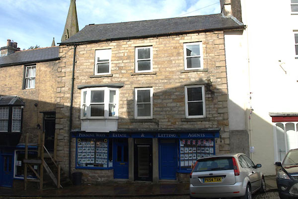
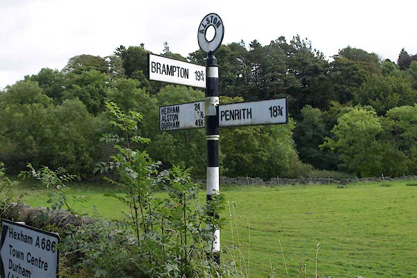
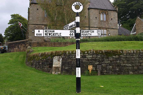
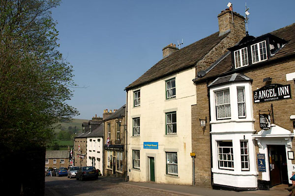
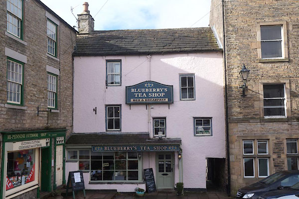
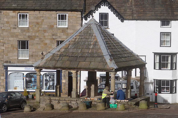
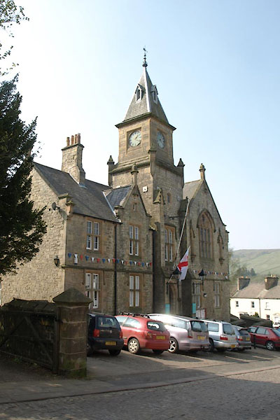
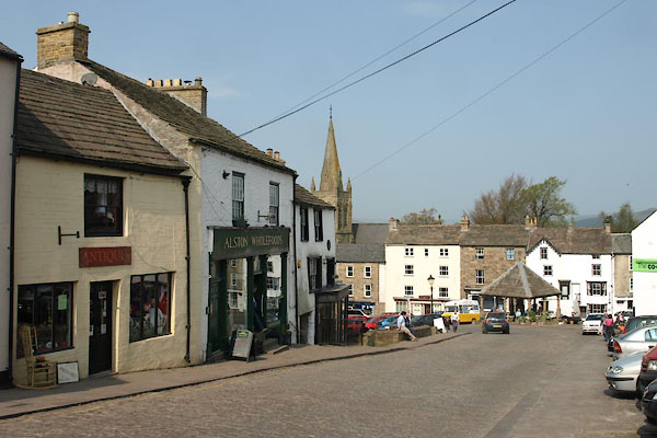
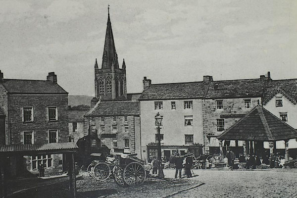 BRD33.jpg Market Square. courtesy of The Hub, Alston. |
||||
|
|
||||
| places:- |
|
|||
|
||||
|
||||
|
||||
|
||||
|
||||
|
||||
|
||||
|
||||
|
||||
|
||||
|
||||
|
||||
|
||||
|
||||
|
||||
|
||||
|
||||
|
||||
|
||||
|
||||
|
||||
|
||||
|
||||
|
||||
|
||||
|
||||
|
||||
|
||||
|
||||
|
||||
|
||||
|
||||
|
||||
|
||||
|
||||
|
||||
|
||||
|
||||
|
||||
|
||||
|
||||
|
||||
|
||||
|
||||
|
||||
|
||||
|
||||
|
||||
|
||||
|
||||
|
||||
|
||||
|
||||
|
||||
|
||||
|
||||
|
||||
|
||||
|
||||
|
||||
|
||||
|
||||
|
||||
|
||||
|
||||
|
||||
|
||||
|
||||
|
||||
|
||||
|
||||
|
||||
|
||||
|
||||
|
||||
|
||||
|
||||
|
||||
|
||||
|
||||
|
||||
|
||||
|
||||
|
||||
|
||||
|
||||
|
||||
|
||||
|
||||
|
||||
|
||||
|
||||
|
||||
|
||||
|
||||
|
||||
|
||||
|
||||
|
||||
|
||||
|
||||
|
||||
|
||||
|
||||
|
||||
|
||||
|
||||
|
||||
|
||||
|
||||
|
||||
|
||||
|
||||
|
||||
|
||||
|
||||
|
||||
|
||||
|
||||
|
||||
|
||||
|
||||
|
||||
|
||||
|
||||
|
||||
|
||||
Lakes Guides menu.