Old Cumbria Gazetteer
 |
 |
|
||
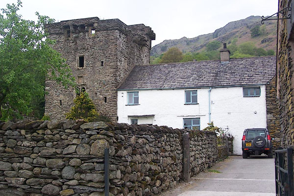
| Kentmere | ||||
| civil parish:- | Kentmere (formerly Westmorland) | |||
| county:- | Cumbria | |||
| locality type:- | locality | |||
| locality type:- | buildings | |||
| locality type:- | valley | |||
| coordinates:- | NY45760407 (etc) | |||
| 1Km square:- | NY4504 | |||
| 10Km square:- | NY40 | |||
|
|
||||
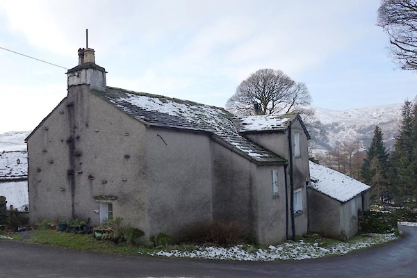
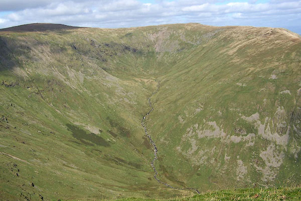
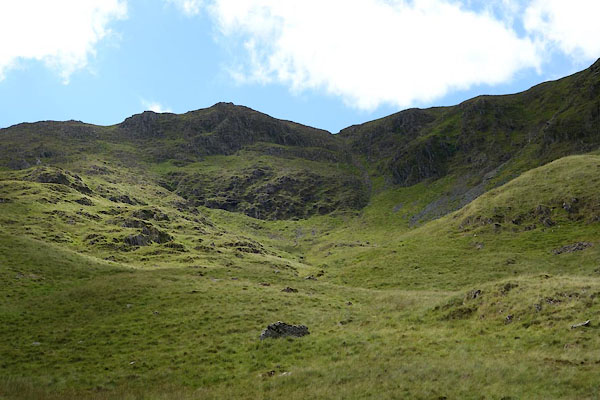
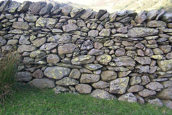
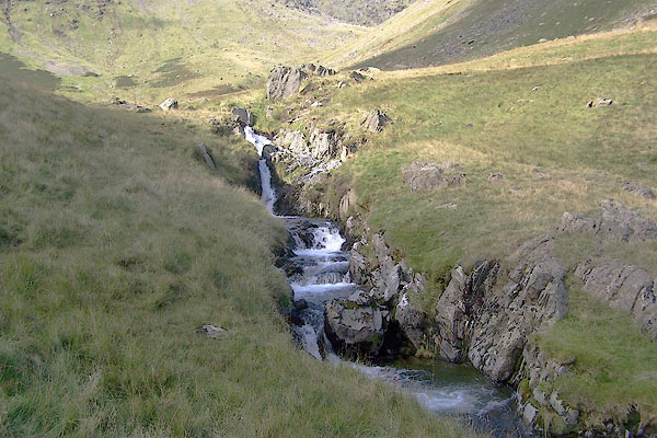
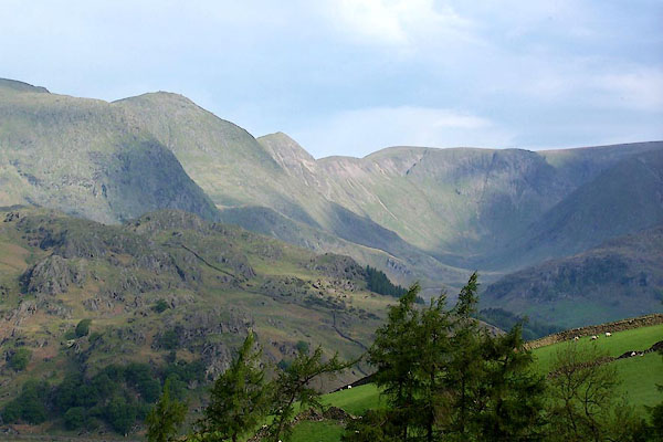 BMF58.jpg Rainsborrow Crag, Ill Bell, Froswick, and High Street, above Kentmere Valley (and a little vertical exageration). (taken 4.6.2006) 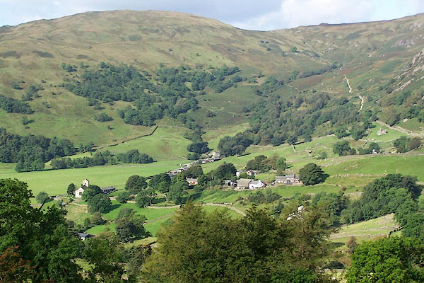 BRJ98.jpg (taken 9.9.2009) |
||||
|
|
||||
| evidence:- | old map:- OS County Series (Wmd 27 10) placename:- Kentmere |
|||
| source data:- | Maps, County Series maps of Great Britain, scales 6 and 25
inches to 1 mile, published by the Ordnance Survey, Southampton,
Hampshire, from about 1863 to 1948. |
|||
|
|
||||
| evidence:- | old map:- Saxton 1579 placename:- Kentmere |
|||
| source data:- | Map, hand coloured engraving, Westmorlandiae et Cumberlandiae Comitatus ie Westmorland
and Cumberland, scale about 5 miles to 1 inch, by Christopher Saxton, London, engraved
by Augustinus Ryther, 1576, published 1579-1645.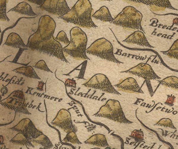 Sax9NY40.jpg Tower, symbol for a house, hall, tower, etc. "Kentmere" item:- private collection : 2 Image © see bottom of page |
|||
|
|
||||
| evidence:- | old map:- Speed 1611 (Wmd) placename:- Kentmere |
|||
| source data:- | Map, hand coloured engraving, The Countie Westmorland and
Kendale the Cheif Towne, scale about 2.5 miles to 1 inch, by
John Speed, 1610, published by George Humble, Popes Head Alley,
London, 1611-12.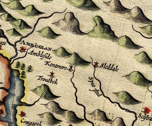 SP14NY40.jpg "Kentmere" circle, tower item:- Armitt Library : 2008.14.5 Image © see bottom of page |
|||
|
|
||||
| evidence:- | old map:- Jansson 1646 placename:- Kentmere |
|||
| source data:- | Map, hand coloured engraving, Cumbria and Westmoria, ie
Cumberland and Westmorland, scale about 3.5 miles to 1 inch, by
John Jansson, Amsterdam, Netherlands, 1646.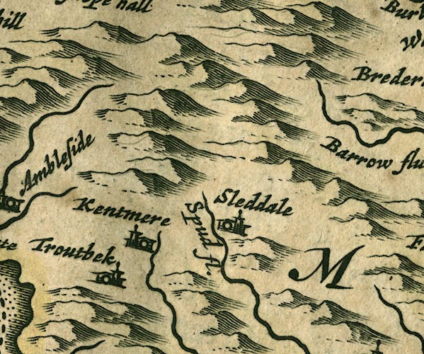 JAN3NY40.jpg "Kentmere" Buildings and tower. item:- JandMN : 88 Image © see bottom of page |
|||
|
|
||||
| evidence:- | old map:- Seller 1694 (Wmd) placename:- Kentmere |
|||
| source data:- | Map, hand coloured engraving, Westmorland, scale about 8 miles
to 1 inch, by John Seller, 1694. click to enlarge click to enlargeSEL7.jpg "Kentmere" circle, italic lowercase text; settlement or house item:- Dove Cottage : 2007.38.87 Image © see bottom of page |
|||
|
|
||||
| evidence:- | old map:- Morden 1695 (Wmd) placename:- Kentmere |
|||
| source data:- | Map, hand coloured engraving, Westmorland, scale about 2.5 miles to 1 inch, by Robert
Morden, published by Abel Swale, the Unicorn, St Paul's Churchyard, Awnsham, and John
Churchill, the Black Swan, Paternoster Row, London, 1695.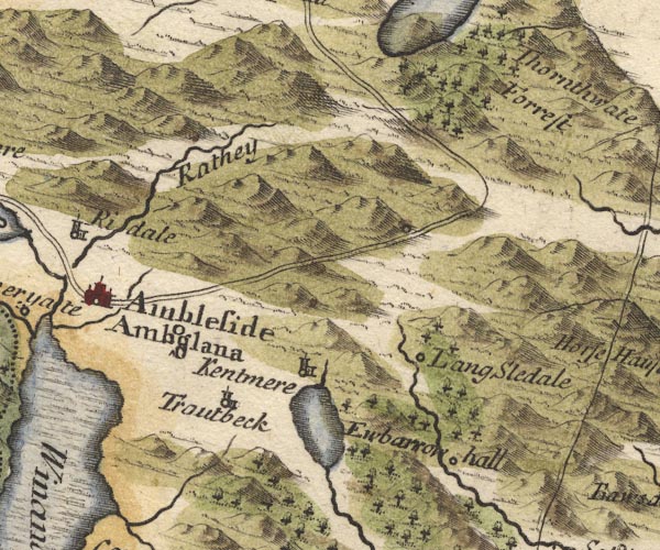 MD10NY40.jpg "Kentmere" Circle, building and tower. item:- JandMN : 24 Image © see bottom of page |
|||
|
|
||||
| evidence:- | old map:- Badeslade 1742 placename:- Kentmere |
|||
| source data:- | Map, uncoloured engraving, A Map of Westmorland North from
London, scale about 10 miles to 1 inch, with descriptive text,
by Thomas Badeslade, London, engraved and published by William
Henry Toms, Union Court, Holborn, London, 1742. click to enlarge click to enlargeBD12.jpg "Kentmere" circle, italic lowercase text; village, hamlet or locality item:- Dove Cottage : 2007.38.62 Image © see bottom of page |
|||
|
|
||||
| evidence:- | old map:- Simpson 1746 map (Wmd) placename:- Kentmere |
|||
| source data:- | Map, uncoloured engraving, Westmorland, scale about 8 miles to 1
inch, printed by R Walker, Fleet Lane, London, 1746.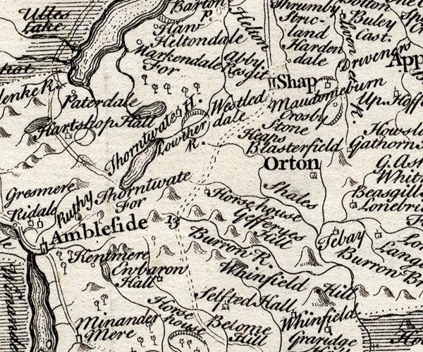 SMP2NYK.jpg "Kentmere" Circle. item:- Dove Cottage : 2007.38.59 Image © see bottom of page |
|||
|
|
||||
| evidence:- | old map:- Bowen and Kitchin 1760 placename:- Kentmere |
|||
| source data:- | Map, hand coloured engraving, A New Map of the Counties of
Cumberland and Westmoreland Divided into their Respective Wards,
scale about 4 miles to 1 inch, by Emanuel Bowen and Thomas
Kitchin et al, published by T Bowles, Robert Sayer, and John
Bowles, London, 1760.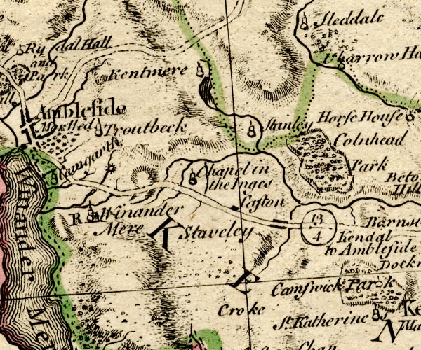 BO18SD39.jpg "Kentmere" circle, tower item:- Armitt Library : 2008.14.10 Image © see bottom of page |
|||
|
|
||||
| evidence:- | old map:- Jefferys 1770 (Wmd) placename:- Kentmere |
|||
| source data:- | Map, 4 sheets, The County of Westmoreland, scale 1 inch to 1
mile, surveyed 1768, and engraved and published by Thomas
Jefferys, London, 1770.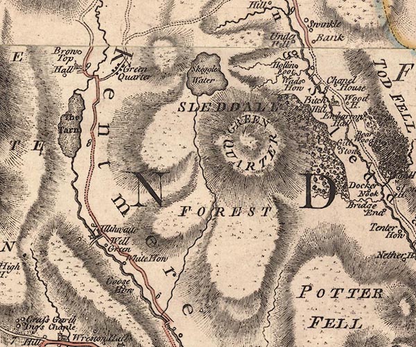 J5NY40SE.jpg "Kentmere" hill hachuring; valley, locality item:- National Library of Scotland : EME.s.47 Image © National Library of Scotland |
|||
|
|
||||
| evidence:- | old text:- Gents Mag item:- longevity |
|||
| source data:- | Magazine, The Gentleman's Magazine or Monthly Intelligencer or
Historical Chronicle, published by Edward Cave under the
pseudonym Sylvanus Urban, and by other publishers, London,
monthly from 1731 to 1922. goto source goto sourceGentleman's Magazine 1782 pp.550-551 page 550:- "Oct. 17. At Kentmere, in Westmoreland, Mr. Martin Stevenson, in the 117th year of his age. He began life in life with a capital of 16 shillings, and ended it with" page 551:- "leaving, by will, 18,000l. accumulated by parsimony. He lived and died a bachelor; his only domestics being his housekeeper and his dog, and left his whole fortune to a man who was no relation." |
|||
|
|
||||
| evidence:- | old map:- Cooper 1808 placename:- Kentmere |
|||
| source data:- | Map, hand coloured engraving, Westmoreland ie Westmorland, scale
about 9 miles to 1 inch, by H Cooper, 1808, published by R
Phillips, Bridge Street, Blackfriars, London, 1808. click to enlarge click to enlargeCOP4.jpg "Kentmere" circle; village or hamlet item:- Dove Cottage : 2007.38.53 Image © see bottom of page |
|||
|
|
||||
| evidence:- | old text:- Green 1814 placename:- Kentmere |
|||
| source data:- | Set of prints, soft ground etchings, Sixty Small Prints, with
text, A Description of a Series of Sixty Small Prints, by
William Green, Ambleside, Westmorland, 1814. goto source page 8:- "... Kentmere is a rocky dale of great magnificence; ..." |
|||
|
|
||||
| evidence:- | old map:- Otley 1818 placename:- Kentmere |
|||
| source data:- | Map, uncoloured engraving, The District of the Lakes,
Cumberland, Westmorland, and Lancashire, scale about 4 miles to
1 inch, by Jonathan Otley, 1818, engraved by J and G Menzies,
Edinburgh, Scotland, published by Jonathan Otley, Keswick,
Cumberland, et al, 1833.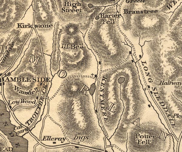 OT02NY40.jpg "KENTMERE" item:- JandMN : 48.1 Image © see bottom of page |
|||
|
|
||||
| evidence:- | descriptive text:- Otley 1823 (5th edn 1834) item:- geology |
|||
| source data:- | Guide book, A Concise Description of the English Lakes, the
mountains in their vicinity, and the roads by which they may be
visited, with remarks on the mineralogy and geology of the
district, by Jonathan Otley, published by the author, Keswick,
Cumberland now Cumbria, by J Richardson, London, and by Arthur
Foster, Kirkby Lonsdale, Cumbria, 1823; published 1823-49,
latterly as the Descriptive Guide to the English Lakes. goto source Page 158:- "The THIRD division - forming only inferior elevations - commences with a bed of dark-blue or blackish transition limestone, containing here and there a few shells and madrepores, and alternating with a slaty rock of the same colour; the different layers of each being in some places several feet, in others only a few inches in thickness. This limestone crosses the river Duddon near Broughton; passing Broughton Mills it runs in a north-east direction through Torver, by the foot of the Old Man mountain, and appears near Low Yewdale and Yew Tree. Here it makes a considerable slip to the eastward, after which it ranges past the Tarns upon the hills above Borwick Ground; and stretching through Skelwith, it crosses the head of Windermere near Low Wood Inn. Then passing above Dovenest and Skelgill, it traverses the vales of Troutbeck, Kentmere, and Long Sleddale;" |
|||
|
|
||||
| evidence:- | old text:- Gents Mag |
|||
| source data:- | Magazine, The Gentleman's Magazine or Monthly Intelligencer or
Historical Chronicle, published by Edward Cave under the
pseudonym Sylvanus Urban, and by other publishers, London,
monthly from 1731 to 1922. goto source Gentleman's Magazine 1825 part 1 p.513 From the Compendium of County History:- "--- Dr. Henry, author of some Calvinistic works, Kentmere, 1560." |
|||
|
|
||||
| evidence:- | old text:- Gents Mag 1825 placename:- Kentmire |
|||
| source data:- | goto source Gentleman's Magazine 1825 part 1 p.514 From the Compendium of County History:- "GILPIN, BERNARD, eminent divine and reformer, called the 'Apostle of the North,' Kemtmire, 1517." "..." "Wharton, Sir George, Baronet, astronomer and loyalist, Kendal (ob. 1681)." |
|||
|
|
||||
| evidence:- | old text:- Gents Mag 1825 |
|||
| source data:- | goto source Gentleman's Magazine 1825 part 1 p.515 "Compendium of County History. - Westmorland." "KENDAL was one of the first provincial towns which printed a Newspaper. ..." |
|||
|
|
||||
| evidence:- | descriptive text:- Ford 1839 (3rd edn 1843) placename:- Kentmere |
|||
| source data:- | Guide book, A Description of Scenery in the Lake District, by
Rev William Ford, published by Charles Thurnam, Carlisle, by W
Edwards, 12 Ave Maria Lane, Charles Tilt, Fleet Street, William
Smith, 113 Fleet Street, London, by Currie and Bowman,
Newcastle, by Bancks and Co, Manchester, by Oliver and Boyd,
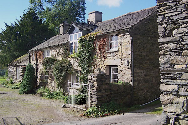
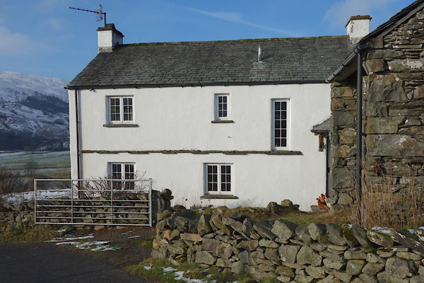
Edinburgh, and by Sinclair, Dumfries, 1839. goto source Page 139:- "..." "KENTMERE," "Or he may follow the course of the stream flowing out of Small Water, over the pass of Nanbield, then down a steep descent into Kentmere, a narrow vale, watered by the Kent, which expands into a tarn one mile long, abounding with trout, perch, and wild ducks, and margined by swampy grounds. The houses are scattered throughout the dale. ..." |
|||
|
|
||||
| evidence:- | old map:- Garnett 1850s-60s H placename:- Kentmere |
|||
| source data:- | Map of the English Lakes, in Cumberland, Westmorland and
Lancashire, scale about 3.5 miles to 1 inch, published by John
Garnett, Windermere, Westmorland, 1850s-60s.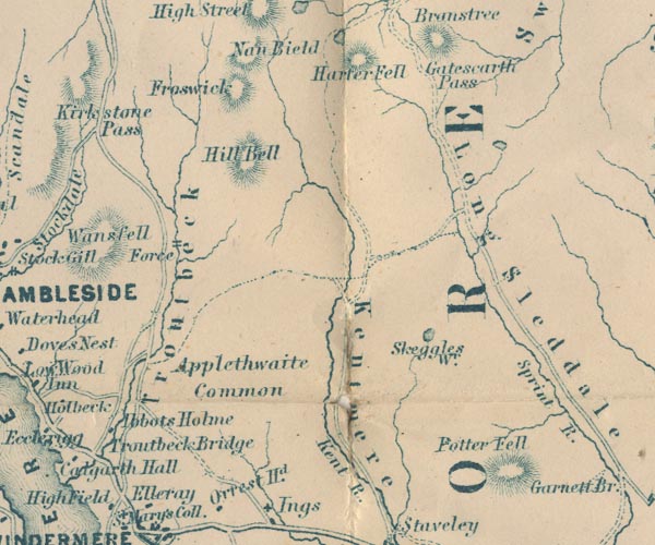 GAR2NY40.jpg "Kentmere" river valley item:- JandMN : 82.1 Image © see bottom of page |
|||
|
|
||||
| evidence:- | old text:- Martineau 1855 |
|||
| source data:- | Guide book, A Complete Guide to the English Lakes, by Harriet
Martineau, published by John Garnett, Windermere, Westmorland,
and by Whittaker and Co, London, 1855; published 1855-76. goto source Page 175:- "... Arrived at the top, he loses sight of Mardale, and greets Kentmere almost at the same moment. The dale behind is wild as any recess in the district: while before him lies a valley whose grandeur is all at the upper end, and which spreads out and becomes shallower with every mile of its recession from the great mountain cluster." "When he has gone down a mile, he finds that he is travelling on one side of Kentmere Tongue,- the projection which in this and most other valleys, splits the head of the dale into a fork. When he arrives at the chapel, he finds that there is a carriage-road which would lead him forth to Staveley and Kendal. But he is probably intending to go over into Troutbeck: so he turns up to the right, and pursues the broad zigzag track which leads over the Fell, till Troutbeck opens beneath him on the other side." |
|||
|
|
||||
| evidence:- | old map:- Postlethwaite 1877 (3rd edn 1913) placename:- Kentmere |
|||
| source data:- | Map, uncoloured engraving, Map of the Lake District Mining Field, Westmorland, Cumberland,
Lancashire, scale about 5 miles to 1 inch, by John Postlethwaite, published by W H
Moss and Sons, 13 Lowther Street, Whitehaven, Cumberland, 1877 edn 1913. PST2NY40.jpg "Kentmere" locality item:- JandMN : 162.2 Image © see bottom of page |
|||
|
|
||||
| evidence:- | old photograph:- Marr 1916 placename:- Kentmere |
|||
| source data:- | Photograph, halftone print, Asymetric Ridges, looking down Kentmere, Westmorland,
1916.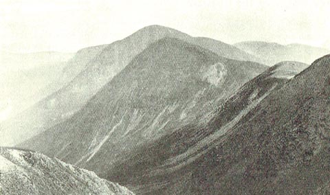 click to enlarge click to enlargeMA1217.jpg item:- JandMN : 173.25 Image © see bottom of page |
|||
|
|
||||
| evidence:- | old print:- Rose 1832-35 |
|||
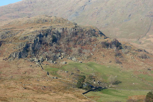
| source data:- | Print, engraving, Kentmere Head, and Slate Quarries, Westmorland, by Thomas Allom,
engraved by S Bradshaw, 1834.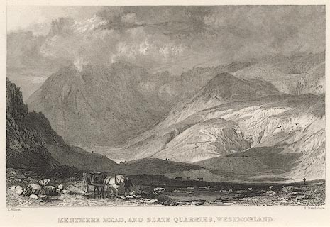 click to enlarge click to enlargeR263.jpg item:- JandMN : 39 Image © see bottom of page |
|||
|
|
||||
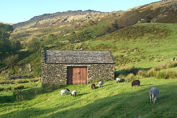
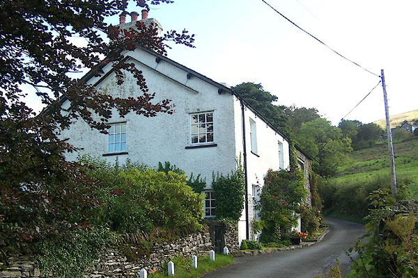
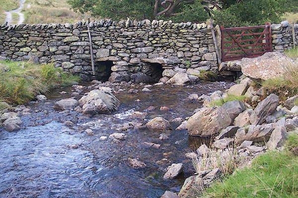
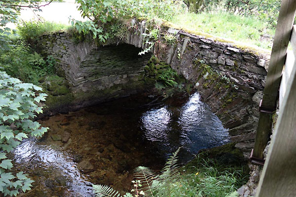
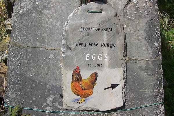
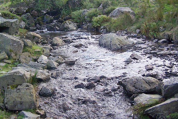
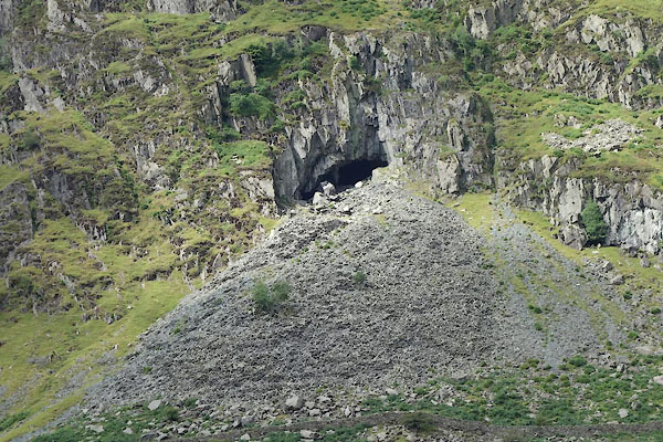
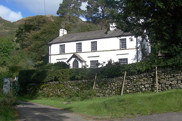
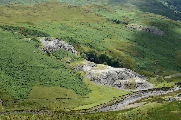
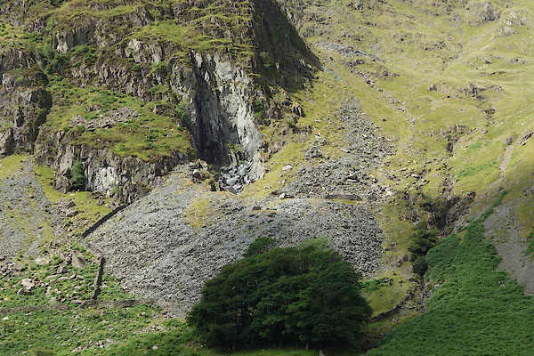
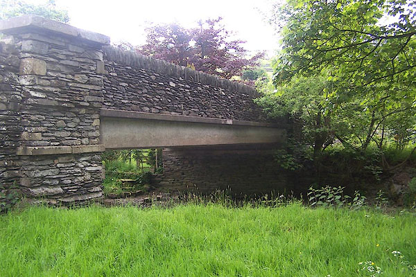
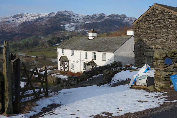
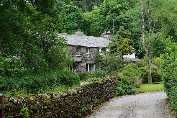
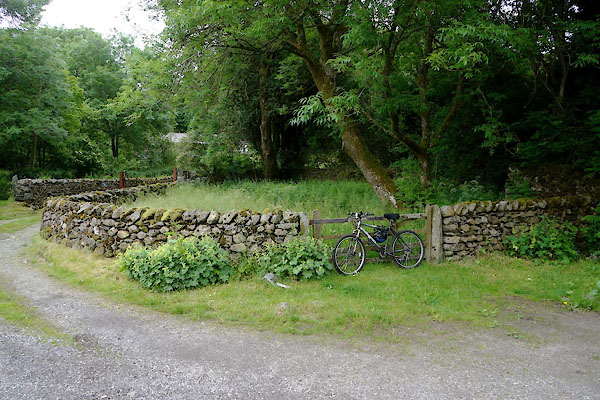
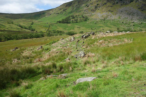
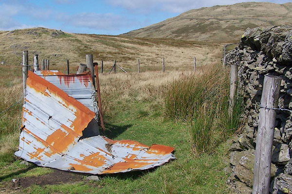
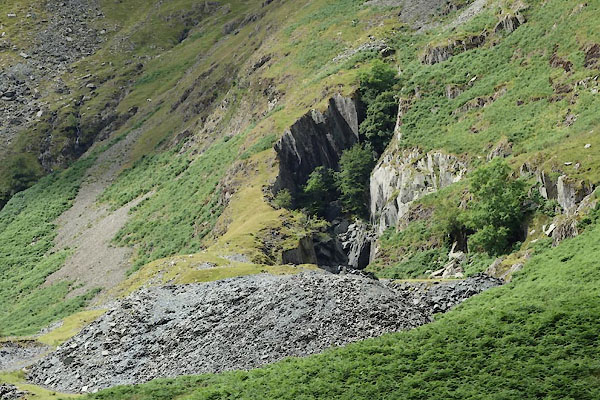
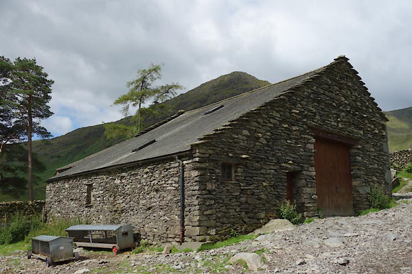
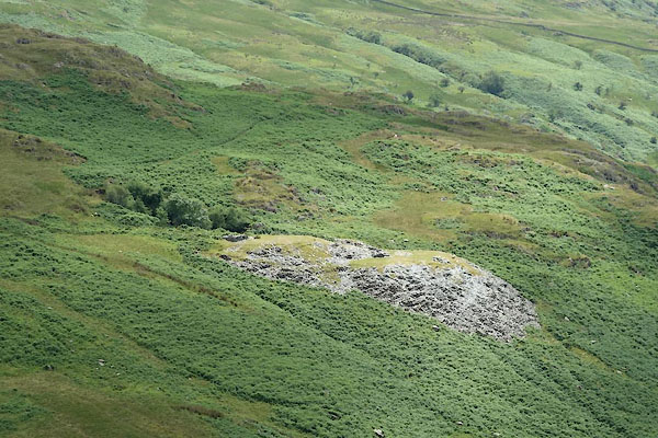
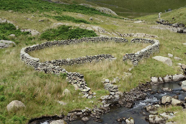
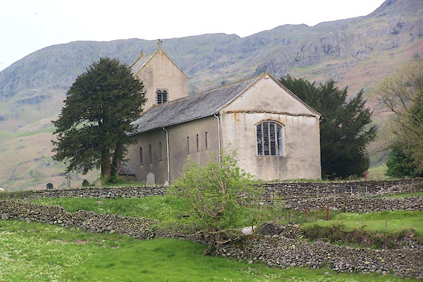
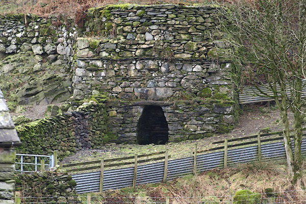
 BMF73.jpg (taken 4.6.2006)  Click to enlarge BOE70.jpg with Ill Bell, Froswick, and High Street. (taken 18.9.2007) 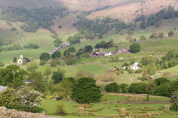 BMF60.jpg (taken 4.6.2006) 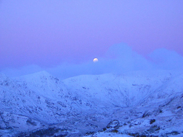 BJM27.jpg Moonset over Kentmere valley from Shipman Knotts, about 9.00am. (taken 26.12.2004) 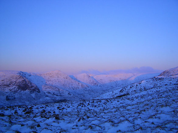 BJM28.jpg Sunrise glow over Kentmere valley from Shipman Knotts, about 9.00am. (taken 26.12.2004) 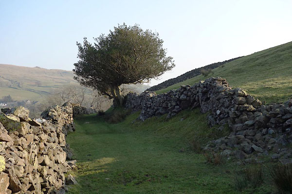 CAC31.jpg Track, (taken 12.3.2013) 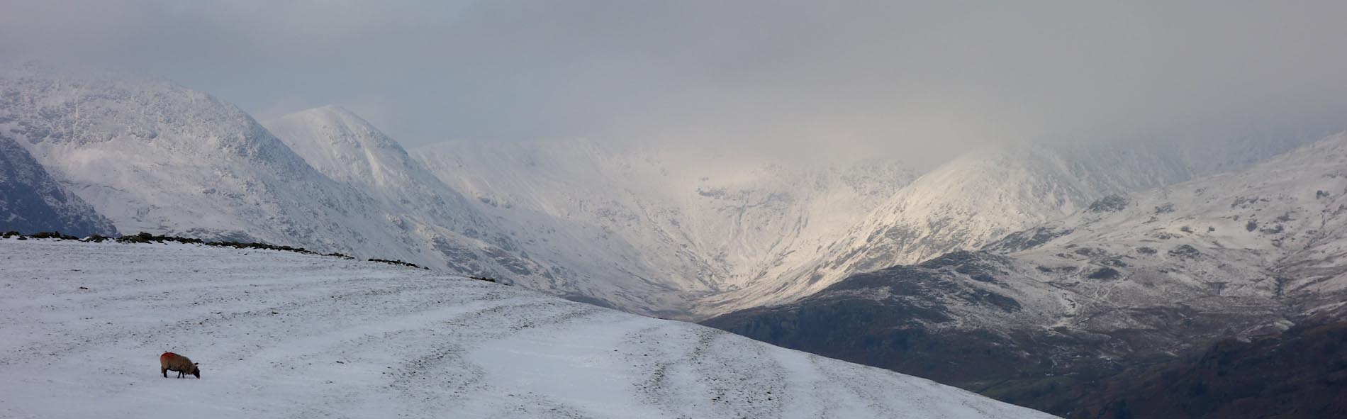 Click to enlarge CCG11.jpg Upper valley, snow. (taken 22.1.2015) 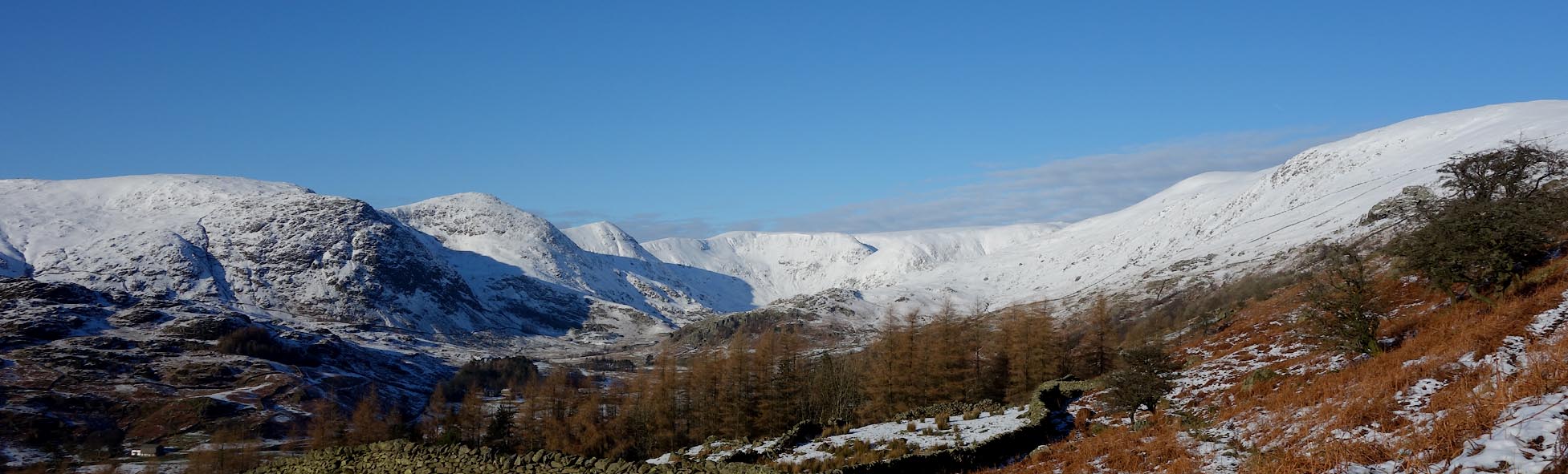 Click to enlarge CEM46.jpg Upper valley, snow. (taken 20.1.2016) |
||||
|
|
||||
| story:- |
The last wild boar in England was killed by Richard Gilpin, Kentmere, late 17th century
or about 1325? The boar:- |
|||
| "had much indamaged the country people there" |
||||
| (There are other 'last' killings.) |
||||
|
|
||||
| hearsay:- |
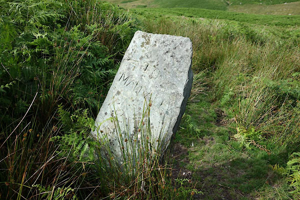
In Kentmere are Green Quarter, Hallowbank Quarter, Crag Quarter, and Wray Quarter.
These areas each had a number of holdings which had a responsibility to provide a
fighting man for the Border Service. The land tenure was based on this service, necessary
to defend the border with Scotland. |
|||
| After the union brought about by James VI of Scotland becoming James I of England,
he tried to dispossess the border tenants of their old rights. The local tenants were
not happy about this, and after a meeting at Staveley, petitioned for their ancient
rights, and eventually won their case. |
||||
|
|
||||
| fiction:- |
Called Shanmore in |
|||
| Ward, Humphrey, Mrs: 1888: Robert Elsmere |
||||
|
|
||||
| places:- |
|
|||
|
||||
|
||||
|
||||
|
||||
|
||||
|
||||
|
||||
|
||||
|
||||
|
||||
|
||||
|
||||
|
||||
|
||||
|
||||
|
||||
|
||||
|
||||
|
||||
|
||||
|
||||
|
||||
|
||||
|
||||
|
||||
|
||||
|
||||
|
||||
|
||||
|
||||
|
||||
|
||||
|
||||
|
||||
|
||||
|
||||
|
||||
|
||||
|
||||
|
||||
|
||||
|
||||
|
||||
|
||||
|
||||
|
||||
|
||||
|
||||
|
||||
|
||||
|
||||
|
||||
|
||||
|
||||
|
||||
|
||||
|
||||
|
||||
|
||||
|
||||
|
||||
|
||||
|
||||
|
||||
|
||||
|
||||
|
||||
|
||||
|
||||
|
||||
Lakes Guides menu.