Old Cumbria Gazetteer
 |
 |
|
||
| Sprint, River | ||||
| runs into:- |  Kent, River Kent, River |
|||
|
|
||||
| Sadgill River | ||||
| civil parish:- | Longsleddale (formerly Westmorland) | |||
| civil parish:- | Whitwell and Selside (formerly Westmorland) | |||
| civil parish:- | Skelsmergh (formerly Westmorland) | |||
| civil parish:- | Strickland Roger (formerly Westmorland) | |||
| county:- | Cumbria | |||
| locality type:- | river | |||
| 1Km square:- | NY4806 (etc) | |||
| 10Km square:- | NY40 | |||
| 10Km square:- | NY50 | |||
| 10Km square:- | SD59 | |||
|
|
||||
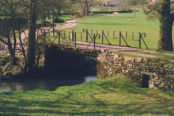
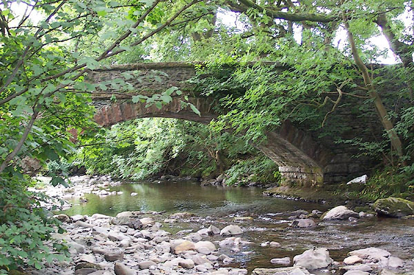
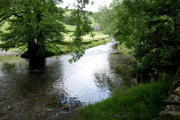
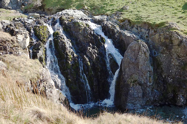
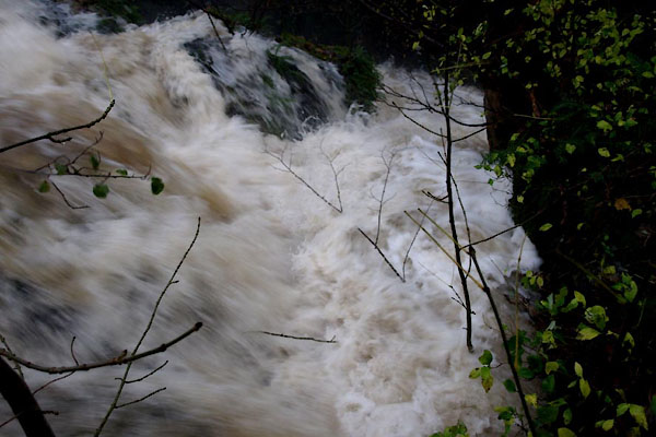
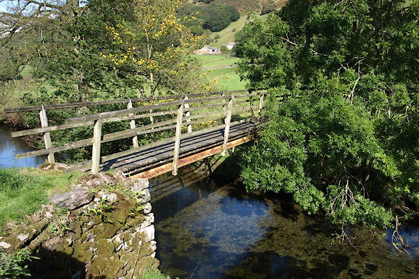
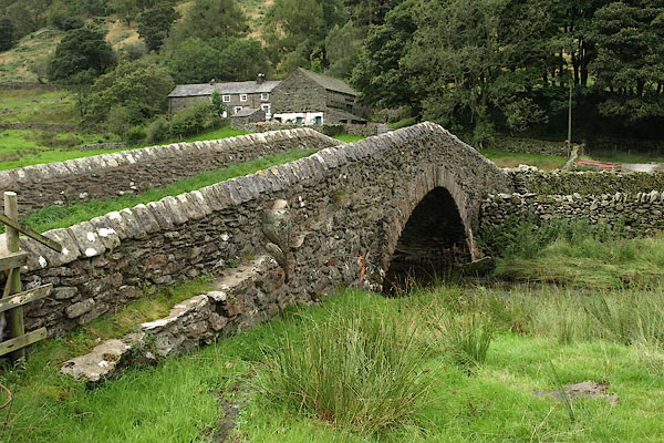
 BSO97.jpg Peaceful, up from Sadgill Bridge, (taken 24.4.2010) 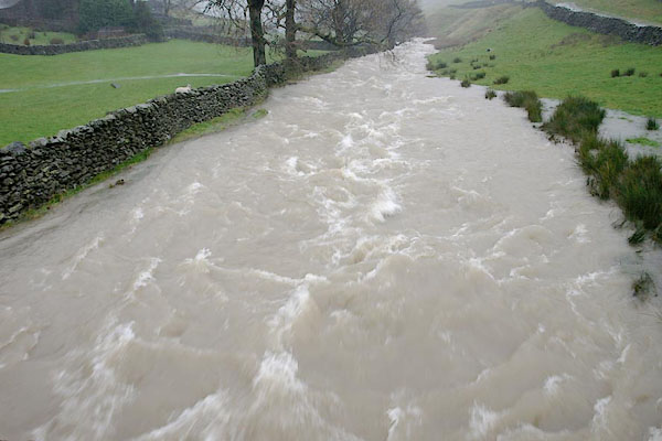 BRX01.jpg In spate, up from Sadgill Bridge. (taken 19.11.2009) |
||||
|
|
||||
| evidence:- | old map:- OS County Series (Wmd 27 2) placename:- Sprint, River |
|||
| source data:- | Maps, County Series maps of Great Britain, scales 6 and 25
inches to 1 mile, published by the Ordnance Survey, Southampton,
Hampshire, from about 1863 to 1948. OS County Series (Wmd 27 3) OS County Series (Wmd 27 7) OS County Series (Wmd 27 11) OS County Series (Wmd 27 15) OS County Series (Wmd 33 4) OS County Series (Wmd 33 8) OS County Series (Wmd 33 12) OS County Series (Wmd 33 16) |
|||
|
|
||||
| evidence:- | old map:- KendalRO : WD/Rig/Acc.1296/49 placename:- Sleddale Beck |
|||
| source data:- | Estate plan, hand coloured lithograph, Plan of Well Foot and Hollin Root Estates,
and Sleddale Forest, Longsleddale, Westmorland, by J Bintley, printed by R Robinson,
Nottingham, Nottinghamshire, 1859. |
|||
|
|
||||
| evidence:- | old map:- Saxton 1579 placename:- Sput Flu. |
|||
| source data:- | Map, hand coloured engraving, Westmorlandiae et Cumberlandiae Comitatus ie Westmorland
and Cumberland, scale about 5 miles to 1 inch, by Christopher Saxton, London, engraved
by Augustinus Ryther, 1576, published 1579-1645.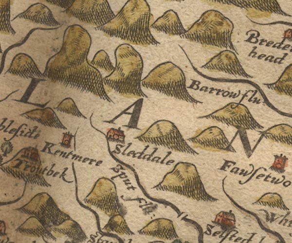 Sax9NY40.jpg "Sput flu:"  Sax9SD49.jpg item:- private collection : 2 Image © see bottom of page |
|||
|
|
||||
| evidence:- | old map:- Mercator 1595 (edn?) placename:- |
|||
| source data:- | Map, hand coloured engraving, Westmorlandia, Lancastria, Cestria
etc, ie Westmorland, Lancashire, Cheshire etc, scale about 10.5
miles to 1 inch, by Gerard Mercator, Duisberg, Germany, 1595,
edition 1613-16. MER5WmdA.jpg "" double line with stream lines; river, running into the Kent item:- Armitt Library : 2008.14.3 Image © see bottom of page |
|||
|
|
||||
| evidence:- | old map:- Speed 1611 (Wmd) placename:- Sput flud |
|||
| source data:- | Map, hand coloured engraving, The Countie Westmorland and
Kendale the Cheif Towne, scale about 2.5 miles to 1 inch, by
John Speed, 1610, published by George Humble, Popes Head Alley,
London, 1611-12.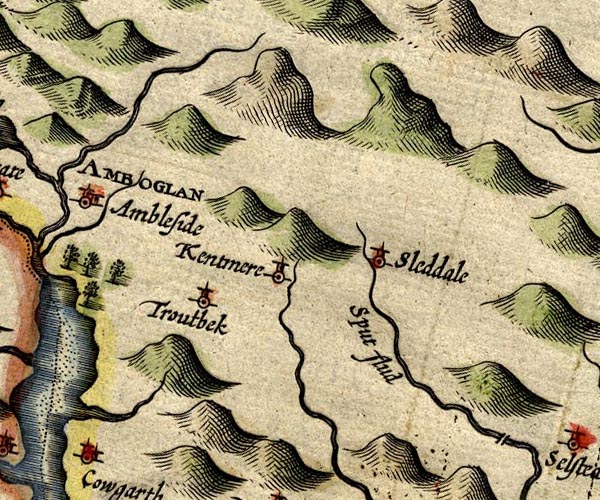 SP14NY40.jpg "Sput flud" double line  SP14SD59.jpg double line, into the Kent item:- Armitt Library : 2008.14.5 Image © see bottom of page |
|||
|
|
||||
| evidence:- | poem:- Drayton 1612/1622 text placename:- Sput |
|||
| source data:- | Poem, Poly Olbion, by Michael Drayton, published by published by
John Marriott, John Grismand and Thomas Dewe, and others?
London, part 1 1612, part 2 1622. goto source page 161:- "... Then keeping on her [Kent's] course, though having in her traine, But Sput, a little Brooke, then Winster doth retaine, Tow'rds the Verginian Sea, ..." |
|||
|
|
||||
| evidence:- | old map:- Drayton 1612/1622 placename:- Sput Flu. |
|||
| source data:- | Map, hand coloured engraving, Cumberlande and Westmorlande, by
Michael Drayton, probably engraved by William Hole, scale about
4 or 5 miles to 1 inch, published by John Mariott, John
Grismand, and Thomas Dewe, London, 1622.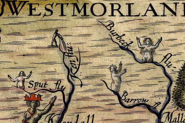 DRY517.jpg "Sput flu" River, naiad; his rivers are muddled.. item:- JandMN : 168 Image © see bottom of page |
|||
|
|
||||
| evidence:- | old map:- Jansson 1646 placename:- Spud Flud |
|||
| source data:- | Map, hand coloured engraving, Cumbria and Westmoria, ie
Cumberland and Westmorland, scale about 3.5 miles to 1 inch, by
John Jansson, Amsterdam, Netherlands, 1646.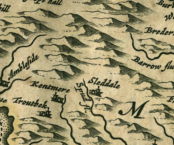 JAN3NY40.jpg "Spud fl."  JAN3SD49.jpg Single wiggly line. item:- JandMN : 88 Image © see bottom of page |
|||
|
|
||||
| evidence:- | old map:- Sanson 1679 |
|||
| source data:- | Map, hand coloured engraving, Ancien Royaume de Northumberland
aujourdhuy Provinces de Nort, ie the Ancient Kingdom of
Northumberland or the Northern Provinces, scale about 9.5 miles
to 1 inch, by Nicholas Sanson, Paris, France, 1679. click to enlarge click to enlargeSAN2Cm.jpg tapering wiggly line; river item:- Dove Cottage : 2007.38.15 Image © see bottom of page |
|||
|
|
||||
| evidence:- | old map:- Seller 1694 (Wmd) placename:- Spud fl. |
|||
| source data:- | Map, hand coloured engraving, Westmorland, scale about 8 miles
to 1 inch, by John Seller, 1694. click to enlarge click to enlargeSEL7.jpg "Spud fl." tapering wiggly line; river item:- Dove Cottage : 2007.38.87 Image © see bottom of page |
|||
|
|
||||
| evidence:- | old map:- Morden 1695 (Wmd) |
|||
| source data:- | Map, hand coloured engraving, Westmorland, scale about 2.5 miles to 1 inch, by Robert
Morden, published by Abel Swale, the Unicorn, St Paul's Churchyard, Awnsham, and John
Churchill, the Black Swan, Paternoster Row, London, 1695. MD10SD59.jpg item:- JandMN : 24 Image © see bottom of page |
|||
|
|
||||
| evidence:- | perhaps old map:- Badeslade 1742 placename:- |
|||
| source data:- | Map, uncoloured engraving, A Map of Westmorland North from
London, scale about 10 miles to 1 inch, with descriptive text,
by Thomas Badeslade, London, engraved and published by William
Henry Toms, Union Court, Holborn, London, 1742. click to enlarge click to enlargeBD12.jpg "" tapering wiggly line item:- Dove Cottage : 2007.38.62 Image © see bottom of page |
|||
|
|
||||
| evidence:- | descriptive text:- Simpson 1746 |
|||
| source data:- | Atlas, three volumes of maps and descriptive text published as
'The Agreeable Historian, or the Compleat English Traveller
...', by Samuel Simpson, 1746. goto source Page 1020:- "..." "The River Can, Ken, or Kent, rises at Kentmere, and being joined by two large Rivers before it comes to Kendale, they render it a large Stream, ..." |
|||
|
|
||||
| evidence:- | old map:- Simpson 1746 map (Wmd) |
|||
| source data:- | Map, uncoloured engraving, Westmorland, scale about 8 miles to 1
inch, printed by R Walker, Fleet Lane, London, 1746.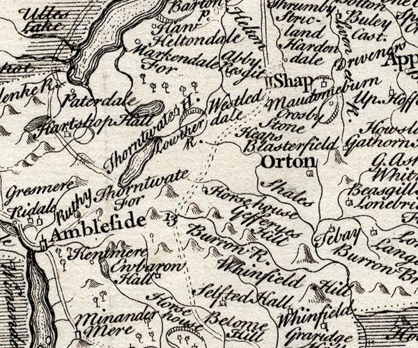 SMP2NYK.jpg Wiggly line. item:- Dove Cottage : 2007.38.59 Image © see bottom of page |
|||
|
|
||||
| evidence:- | old map:- Bowen and Kitchin 1760 |
|||
| source data:- | Map, hand coloured engraving, A New Map of the Counties of
Cumberland and Westmoreland Divided into their Respective Wards,
scale about 4 miles to 1 inch, by Emanuel Bowen and Thomas
Kitchin et al, published by T Bowles, Robert Sayer, and John
Bowles, London, 1760. BO18SD49.jpg wiggly line, into the Mint item:- Armitt Library : 2008.14.10 Image © see bottom of page |
|||
|
|
||||
| evidence:- | old map:- Jefferys 1770 (Wmd) |
|||
| source data:- | Map, 4 sheets, The County of Westmoreland, scale 1 inch to 1
mile, surveyed 1768, and engraved and published by Thomas
Jefferys, London, 1770. J5SD59NW.jpg single or double wiggly line; river item:- National Library of Scotland : EME.s.47 Image © National Library of Scotland |
|||
|
|
||||
| evidence:- | descriptive text:- Nicolson and Burn 1777 placename:- Sleddale Beck placename:- Spret |
|||
| source data:- | Book, History and Antiquities of the Counties of Westmorland and
Cumberland, 2 volumes, by Joseph Nicolson and Richard Burn,
published by W Strahan and T Cadell, Strand, London, 1777. "Sleddale Beck, commonly called Spret, springs in Wrangdale-head in this dale (a place famous for fine blue slate got there), runs southward all along the dale on the west side of the chapel and Ubarrow Hall, from thence on the east side of Burneshead Hall, and about half a mile below falls into the river Kent." |
|||
|
|
||||
| evidence:- | descriptive text:- West 1778 (11th edn 1821) |
|||
| source data:- | Guide book, A Guide to the Lakes, by Thomas West, published by
William Pennington, Kendal, Cumbria once Westmorland, and in
London, 1778 to 1821. goto source Page 166:- "... [S from Gatescarth] ... you will presently be accompanied by a cataract on the right. ... The water-falls on the right are extremely curious. [level with Buckbarrow]" |
|||
|
|
||||
| evidence:- | old map:- West 1784 map |
|||
| source data:- | Map, hand coloured engraving, A Map of the Lakes in Cumberland,
Westmorland and Lancashire, scale about 3.5 miles to 1 inch,
engraved by Paas, 53 Holborn, London, about 1784. Ws02NY40.jpg 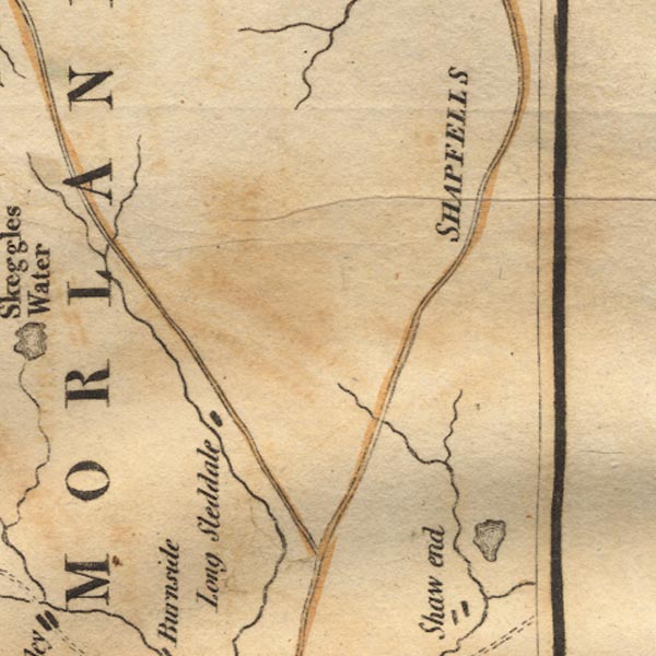 Ws02NY50.jpg 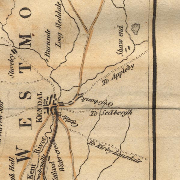 Ws02SD59.jpg item:- Armitt Library : A1221.1 Image © see bottom of page |
|||
|
|
||||
| evidence:- | old map:- Cary 1789 (edn 1805) |
|||
| source data:- | Map, uncoloured engraving, Westmoreland, scale about 2.5 miles
to 1 inch, by John Cary, London, 1789; edition 1805.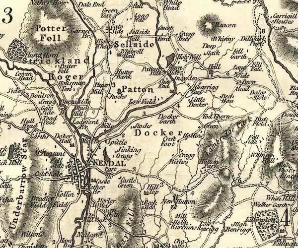 CY24SD59.jpg river running into the Kent item:- JandMN : 129 Image © see bottom of page |
|||
|
|
||||
| evidence:- | old text:- Housman 1800 |
|||
| source data:- | Guide book, Descriptive Tour, and Guide to the Lakes, Caves, Mountains ..., by John
Housman, published by F Jollie, Carlisle, Cumberland and C Law, Ave Maria Lane, London,
1800; published
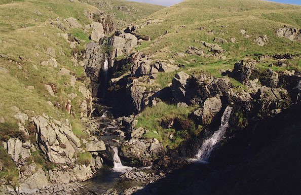
1800-21. Page 70:- "... A large brook intersects a strip of meadow ground which" Page 71:- "runs along the bottom of this vale. ..." Page 72:- "...The mountains now begin to unite their bases, and the road gradually ascends; while the brook, clear as crystal, tumbles with a more violent motion over a stratum of beautiful light blue coloured rock. Here, close by the road, on the left, two separate streams, just before their junction, form each a beautiful cascade - the one about twenty, and the other fifteen feet in height - and, after uniting, fall again about six feet. ..." |
|||
|
|
||||
| evidence:- | old map:- Cooke 1802 |
|||
| source data:- | Map, The Lakes, Westmorland and Cumberland, scale about 8.5
miles to 1 inch, engravedby Neele and Son, published by
Sherwood, Jones and Co, Paternoster Road, London, 1824. click to enlarge click to enlargeGRA1Lk.jpg tapering wiggly line; river item:- Hampshire Museums : FA2000.62.5 Image © see bottom of page |
|||
|
|
||||
| evidence:- | old map:- Cooper 1808 |
|||
| source data:- | Map, hand coloured engraving, Westmoreland ie Westmorland, scale
about 9 miles to 1 inch, by H Cooper, 1808, published by R
Phillips, Bridge Street, Blackfriars, London, 1808. click to enlarge click to enlargeCOP4.jpg tapering wiggly line; river item:- Dove Cottage : 2007.38.53 Image © see bottom of page |
|||
|
|
||||
| evidence:- | old map:- Otley 1818 |
|||
| source data:- | Map, uncoloured engraving, The District of the Lakes,
Cumberland, Westmorland, and Lancashire, scale about 4 miles to
1 inch, by Jonathan Otley, 1818, engraved by J and G Menzies,
Edinburgh, Scotland, published by Jonathan Otley, Keswick,
Cumberland, et al, 1833. OT02NY50.jpg 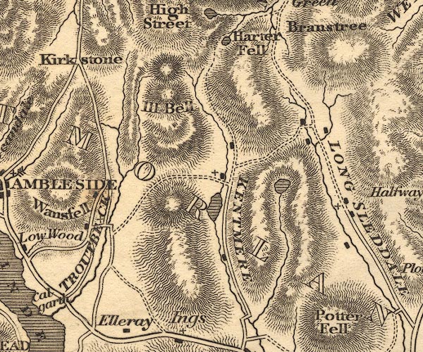 OT02NY40.jpg item:- JandMN : 48.1 Image © see bottom of page |
|||
|
|
||||
| evidence:- | old map:- Hall 1820 (Wmd) |
|||
| source data:- | Map, hand coloured engraving, Westmoreland ie Westmorland, scale
about 14.5 miles to 1 inch, by Sidney Hall, London, 1820,
published by Samuel Leigh, 18 Strand, London, 1820-31. click to enlarge click to enlargeHA18.jpg tapering wiggly line; river item:- Armitt Library : 2008.14.58 Image © see bottom of page |
|||
|
|
||||
| evidence:- | descriptive text:- Otley 1823 (5th edn 1834) |
|||
| source data:- | Guide book, A Concise Description of the English Lakes, the
mountains in their vicinity, and the roads by which they may be
visited, with remarks on the mineralogy and geology of the
district, by Jonathan Otley, published by the author, Keswick,
Cumberland now Cumbria, by J Richardson, London, and by Arthur
Foster, Kirkby Lonsdale, Cumbria, 1823; published 1823-49,
latterly as the Descriptive Guide to the English Lakes. goto source Page 41:- "The Kent rising in Kentmere, receives the Sprint from Longsleddale, ..." |
|||
|
|
||||
| evidence:- | old map:- Garnett 1850s-60s H placename:- Sprint, River |
|||
| source data:- | Map of the English Lakes, in Cumberland, Westmorland and
Lancashire, scale about 3.5 miles to 1 inch, published by John
Garnett, Windermere, Westmorland, 1850s-60s.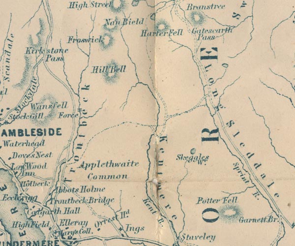 GAR2NY40.jpg "Sprint R." wiggly line, river 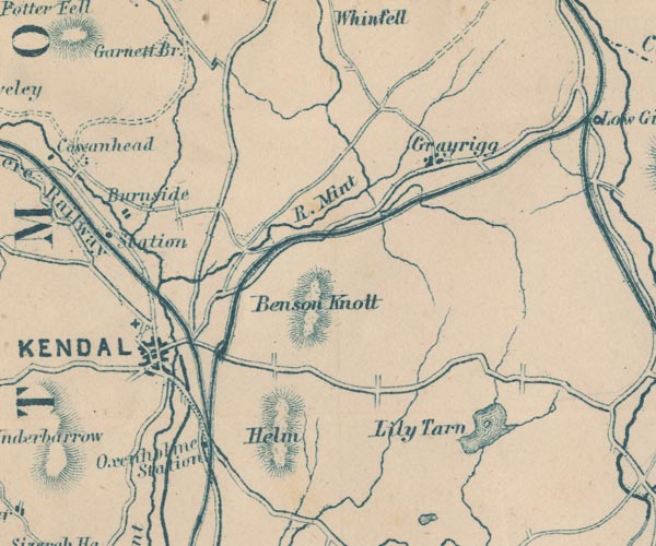 GAR2SD59.jpg item:- JandMN : 82.1 Image © see bottom of page |
|||
|
|
||||
| evidence:- | descriptive text:- Whellan 1860 placename:- |
|||
| source data:- | Book, History and Topography of the Counties of Cumberland and
Westmoreland, by William Whellan, published by W Whellan and Co,
Pontefract, Yorkshire, 1860 "LONG SLEDDALE CHAPELRY" "THIS chapelry embraces a wild and picturesque district, about three miles in breadth, and extending from five to eleven miles north of Kendal. It is intersected by the Sprint rivulet, which runs through a deep vale parallel with the road, till it unites with the Kent about half a mile below Burneside Hall." |
|||
|
|
||||
| evidence:- | old map:- OS 1881-82 New Series (outline edition) placename:- |
|||
| source data:- | Map, engraving, area north of Kendal, Westmorland, New Series
one inch map, outline edition, sheet 39, scale 1 inch to 1 mile,
published by the Ordnance Survey, Southampton, Hampshire,
1881-82. O21NY40T.jpg 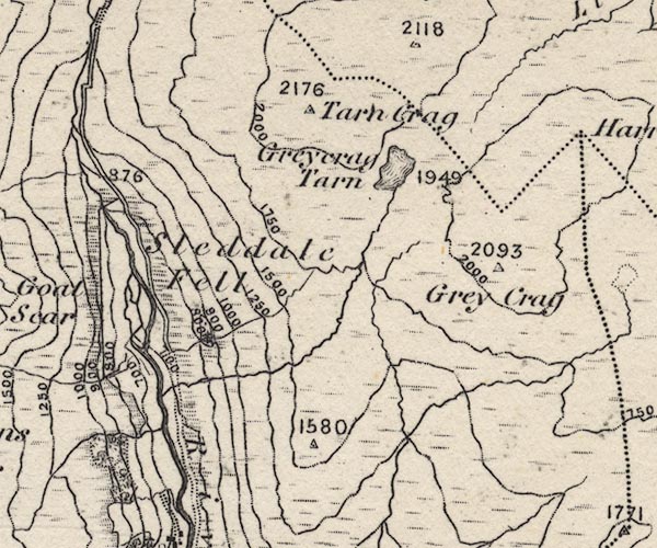 O21NY40Y.jpg 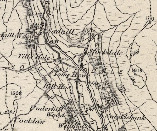 O21NY40X.jpg  O21NY40W.jpg  O21NY50B.jpg 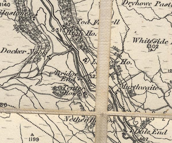 O21NY50A.jpg "River Sprint" item:- JandMN : 61 Image © see bottom of page |
|||
|
|
||||
| evidence:- | old text:- Gents Mag |
|||
| source data:- | Magazine, The Gentleman's Magazine or Monthly Intelligencer or
Historical Chronicle, published by Edward Cave under the
pseudonym Sylvanus Urban, and by other publishers, London,
monthly from 1731 to 1922. goto source Gentleman's Magazine 1900 part 1 p.440 "..." "One of the best expeditions for one who has a real liking for the smaller beauties of water and rock scenery is Sacgill (sic). This is at the head of Longsleddale, a long narrow valley of the usual lakeland" |
|||
|
|
||||
| evidence:- | old text:- Gents Mag 1900 |
|||
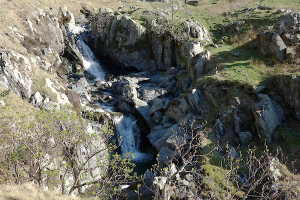
| source data:- | goto source Gentleman's Magazine 1900 part 1 p.441 "type, with an unusually cramped defile at the foot. Right in front, as you cross the narrow switchback bridge from the cluster of ancient houses known as Sacgill (sic) and turn up the edge of the torrent, are Harter and Grey Crags, the abrupt front of the former continuing in Goat Scar, a pile of rough fox-haunted crags. Grey Crag is a pyramid of huge cliffs where the more daring dalesmen annually climb to the nests of hawks accused of harassing the sheep. Carrion-feeders these undoubtedly are, but hardly guilty of this heinous crime. As the walk is proceeded with, a curious depression in the dale-head is reached - a flat entirely covered with stones, which at some distant time had evidently been a tarn. Portions of this level are still banked up to make pools for sheep washing, and a strong wall has been built across at the foot to prevent loose debris washing at flood time upon the cultivated valley below. At the head of the depression comes our ghyll. At first the usual succession of small cataracts, each with its clear pool where the water swirls awhile ere escaping down the water-worn green slabs which constitute the steep river bed. The path, or rather the sheep track, which serves this purpose, becomes steeper, and the falls correspondingly higher. You rise from the valley in a succession of mighty steps; the shelf on which you are standing prevents your seeing the route by which you came, giving in return a distant view of the valley shimmering in the bright sunshine, with still further, range after range of moorish hills, with here and there a rough cliff, till the distant sea closes the view. You are now in the very jaws of the pass; a spur of Goat Scar approaches the stream from the left, and a tall corner of Gray Crag forces itself into the narrowing glen opposite. Now the more immediate river banks rise higher, the rolling waters in front come by a swiftly descending curve. At this point we climb round the foot of the rocky bank, here some fifty feet high, and find a standing place on a small beach. This is the only place in the rock basin where such a foothold is possible. Behind us the crags rise, covered with tiny clumps of mountain sage and fringed at their tops with waving bracken fronds. Beyond, higher and higher rise the stony ridges to the crags, which strike the eye in whichever direction it is turned. The beck tumbles into the small cleft, and as yet its unbroken descent is out of sight, but the soft, liquid, churning sound betrays its presence." "As other venues fail us, a tough scramble up the grass hung bank commences. From the bank of the gorge are several grand vertical views through luxuriant mountain ashes of the stream dimpling in the deep crevice, and then of the waterfall, with its brink twenty feet" |
|||
|
|
||||
| evidence:- | old text:- Gents Mag 1900 |
|||
| source data:- | goto source Gentleman's Magazine 1900 part 1 p.442 "beneath, its chasm full fifty. Further on comes a number of pretty cascades, then you emerge from a water-hewn gallery on a level with the stream. As the pass widens, a belt of tough slaty rocks is approached, and down these the beck shoots. Not a bush grows near - we are at too high an elevation, and the view savours the desolation. Watery-green rocks pall; the succession of streams sliding almost noiselessly down long smooth surfaces becomes monotonous; ridge after ridge of stony fells gives a dreary impression, but just where the pass opens into the swampy moor is its redeeming feature. Threading along the course of the beck, we see a stream issuing from a crag-guarded ghyll, and on approach find that the stream fills it from bank to bank. A few stepping stones allow one to reach a place where some advance can be made along the foot of the cliffs. Then ford the stream at the shallow, and climb the jutting crag to the right. You are now in an amphitheatre of rocks. In front is the waterfall, its spray damping you through; almost beneath is the chink-like passage through which the water escapes. On either hand tall crags rise, all dripping with spray, and hung with luxuriant mosses. Here and there a fern, hart's tongue or similar slime-loving variety, find roothold; a huge fragment, torn down maybe by lightning, reclines precariously in a corner, ready, it seems, to fall and block up the pool. An active person can spring easily across the narrow gulf to the cliff over which the stream is pouring, and there find sufficient hold to climb out. But it allows of no mistakes. A fall into the well of the cascade is to be dreaded, as the unfortunate could only trust to the stream carrying him into the outflow passage; there is no handhold within reach by which a good position could be secured again. After this ghyll, not more than fifty yards in length has been explored, the tour is finished, and it cannot fail to have been a most pleasing one." "WILLIAM T. PALMER." |
|||
|
|
||||
| evidence:- | descriptive text:- Wilson 1912 |
|||
| source data:- | Guide book, Longsleddale, by F M Wilson, published by T Wilson,
Kendal, Westmorland, 1912. WILSON1.txt "The scenery throughout the dale is probably unsurpassed by any in the county, and it has the additional charm of being perfectly natural and free from any artificial effects. The mountains rise grandly on either side of the valley, and from among the rocks, cascades dash down and swell the river Sprint below, on its way to join the Kent. " |
|||
|
|
||||
| evidence:- | old photograph:- Wilson 1912 |
|||
| source data:- | Photograph of River Sprint above Sadgill Bridge, by F M Wilson, 1912 WILSON1.txt 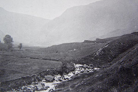 click to enlarge click to enlargeBJI62.jpg "THE RIVER SPRINT" In Guide book, Longsleddale, by F M Wilson, published by T Wilson, Kendal, Westmorland, 1912 |
|||
|
|
||||
| evidence:- | old map:- Postlethwaite 1877 (3rd edn 1913) placename:- Sprint, River |
|||
| source data:- | Map, uncoloured engraving, Map of the Lake District Mining Field, Westmorland, Cumberland,
Lancashire, scale about 5 miles to 1 inch, by John Postlethwaite, published by W H
Moss and Sons, 13 Lowther Street, Whitehaven, Cumberland, 1877 edn 1913.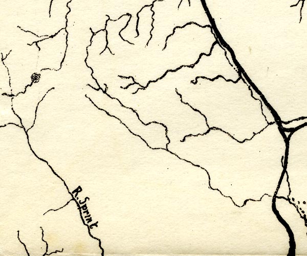 PST2NY50.jpg "R. Sprint" wiggly line item:- JandMN : 162.2 Image © see bottom of page |
|||
|
|
||||
| evidence:- | records:- Curwen 1926 placename:- Sadgill Rivulet |
|||
| source data:- | Records Relating to the Barony of Kendale, supplementary vol.3,
edited by John F Curwen, published by Titus Wilson and Son,
Kendal, Westmorland, 1926. CURWEN01.txt "1717 May 3 : The inhabitants of Long Sleddale, Langdale, Grasmere, Rydal and Loughrigg, Ambleside, Troutbeck, Kentmere and several other townships in the Barony of Kendall, show that the great road and public highway between Hawksyde, Ambleside, Shap, Penrith and Appleby, very much used by travellers, drovers and others having occasion frequently to pass and repass to and from the said markets with cattle and other goods, in which public highway there is a water or rivulet called Sadgill which by the violent and sudden rain there is often raised and overflows its banks so that no passenger dare venture to cross the same and many times travellers are forced to stay two or three days before they dare to venture to cross and are often in danger with their cattle of being lost in crossing the said water to the great prejudice of trade, and pray that a bridge may be erected over the same; order that the Chief Constable view the same and report the cost of a bridge on 31 May next. K. Order Book, 1696-1724." |
|||
|
|
||||
| evidence:- | textbook:- EPNS Westmorland 1967 placename:- Sleddalebeck placename:- Sleddale Beck |
|||
| source data:- | Book, The Place Names of Westmorland, two volumes, by A H Smith,
published for the English Place Name Society by Cambridge
University Press, Cambridgeshire, 1967 |
|||
|
|
||||
| evidence:- | map:- OS Six Inch (1956) placename:- Sprint, River |
|||
| source data:- | Map series, various editions with the national grid, scale about
6 inches to 1 mile, published by the Ordnance Survey,
Southampton, Hampshire, scale 1 to 10560 from 1950s to 1960s,
then 1 to 10000 from 1960s to 2000s, superseded by print on
demand from digital data. SINY4708.jpg "River Sprint" 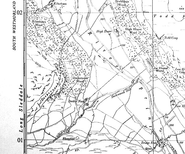 SINY5001.jpg "River Sprint" |
|||
|
|
||||
| evidence:- | old postcard:- |
|||
| source data:- | Postcard, sepia coloured photograph, Long Sleddale Valley, Longsleddale, Westmorland,
about 1908. courtesy of Michael Wooldridge 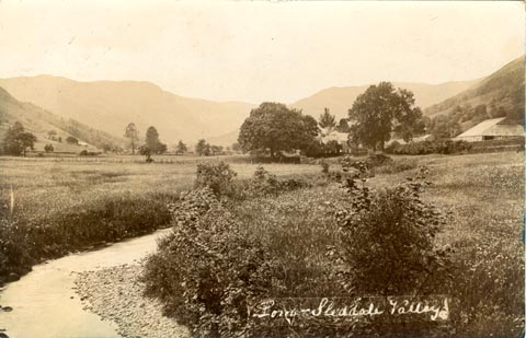 click to enlarge click to enlargePH0159.jpg interneg, lower right "Long-Sleddale Valley" postmark, reverse "KENDAL / 1.30 PM / FE 1 / 08" item:- private collection : 345 Image © see bottom of page |
|||
|
|
||||
 BTU91.jpg Up from Sadgill Bridge. (taken 5.12.2010) |
||||
|
|
||||
 BXC65.jpg (taken 14.8.2012) 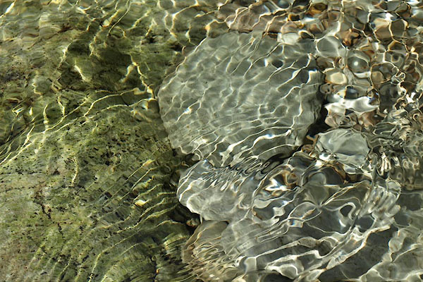 BXC66.jpg (taken 14.8.2012) 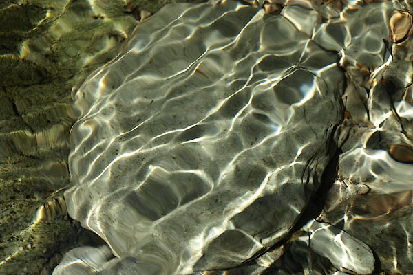 BXC73.jpg (taken 14.8.2012) 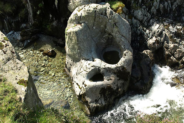 BXC88.jpg Churn pot. (taken 14.8.2012) 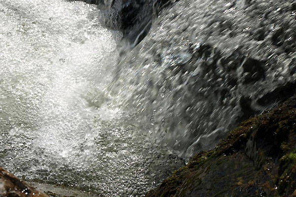 BXC94.jpg (taken 14.8.2012) |
||||
|
|
||||
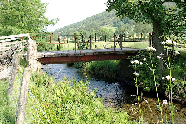
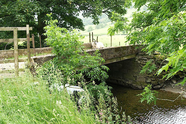
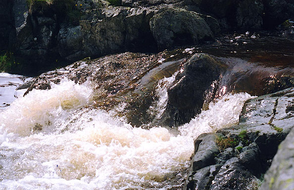
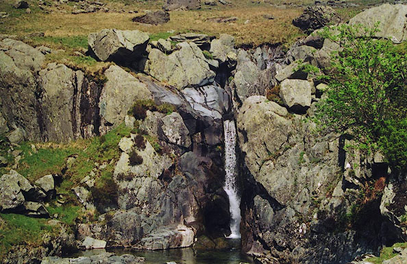
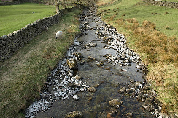
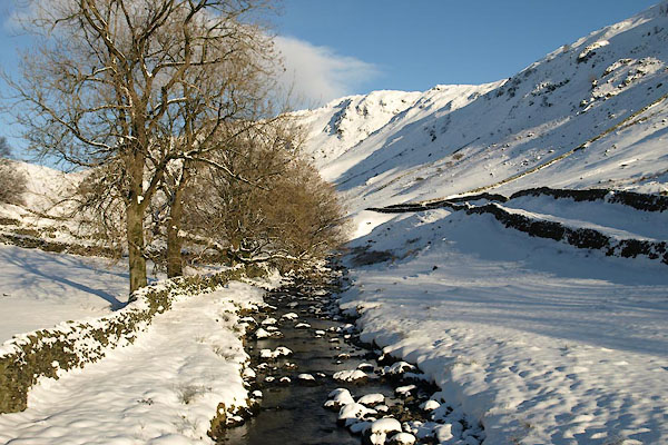
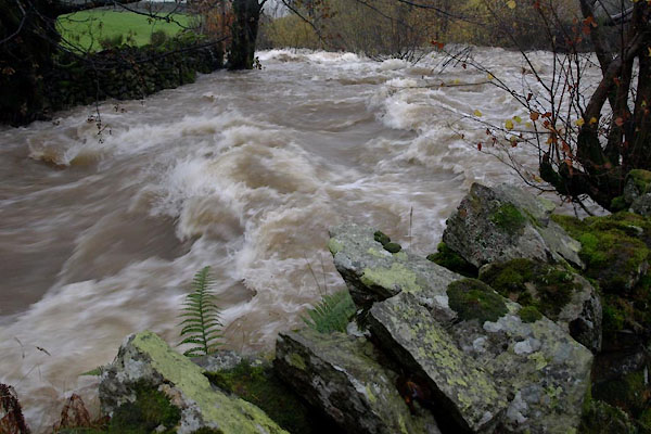 BTT07.jpg In spate above Sadgill Force; 3.5 ins rain in the last 18 hours. (taken 4.11.2010) 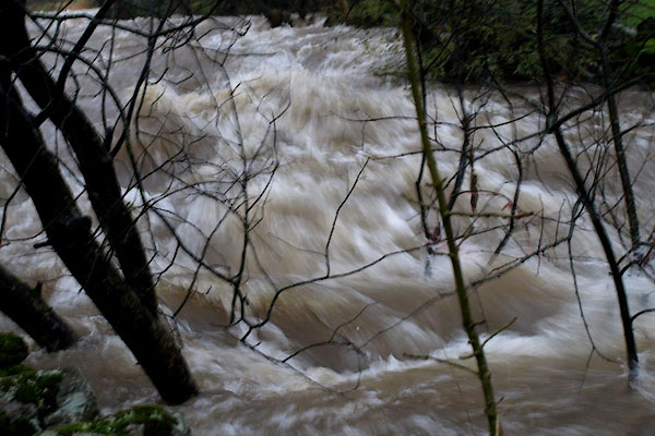 BTT09.jpg In spate above Sadgill Force. (taken 4.11.2010) 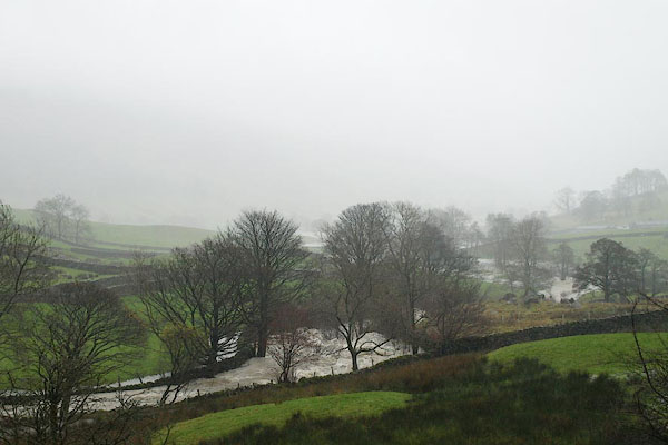 BRW95.jpg In spate above Sadgill Force. (taken 19.11.2009) 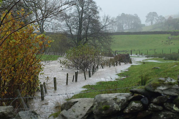 BTT14.jpg about to flood, below Sadgill Force. (taken 4.11.2010) 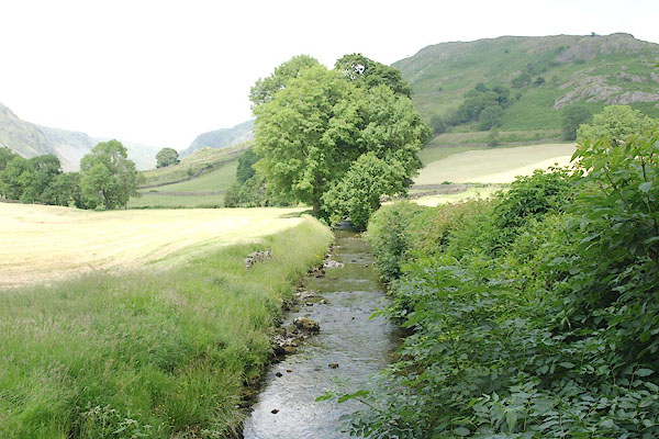 BQX82.jpg Up from Tills Hole bridge. (taken 28.6.2009)  BSM36.jpg Below Toms Howe, (taken 11.4.2010)  BQX76.jpg Up from Toms Howe bridge. (taken 28.6.2009) 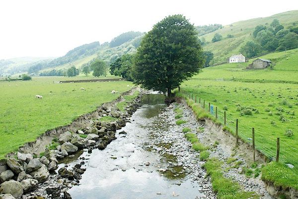 BQX75.jpg Down from Toms Howe bridge. (taken 28.6.2009)  BQX62.jpg Water gate on a side stream, (taken 28.6.2009) 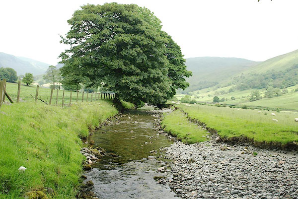 BQX61.jpg Up from unnamed bridge, (taken 28.6.2009)  BQX60.jpg Down from unnamed bridge, (taken 28.6.2009)  BIO14.jpg In its low valley mode near Dockernook bridge. (taken 30.3.2004) |
||||
|
|
||||
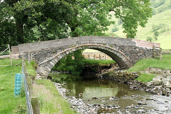
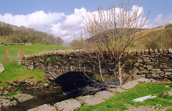
| evidence:- | old postcard:- |
|||
| source data:- | Postcard, photograph of River Sprint and Sadgill Bridge, 1920s-30s? courtesy of Michael Wooldridge 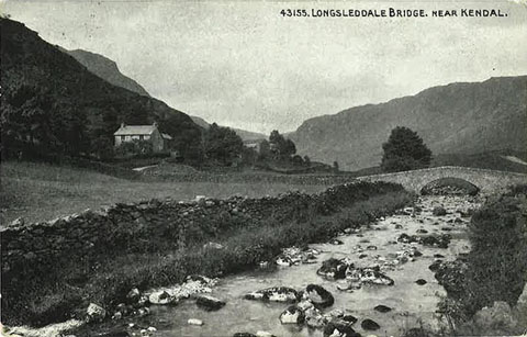 click to enlarge click to enlargePH0046.jpg "43155.LONGSLEDDALE BRIDGE. NEAR KENDAL." item:- private collection : 147 Image © see bottom of page |
|||
|
|
||||
| evidence:- | old postcard:- |
|||
| source data:- | Postcard, photograph of upper River Sprint, Si-Ko series, 1920s-30s? courtesy of Michael Wooldridge 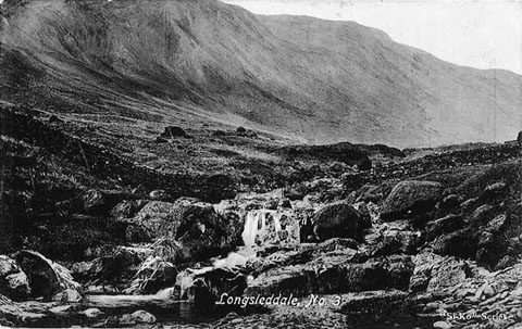 click to enlarge click to enlargePH0047.jpg "Longsleddale, No.3" "Si-Ko Series" item:- private collection : 149 Image © see bottom of page |
|||
|
|
||||
| evidence:- | old postcard:- |
|||
| source data:- | Postcard, River Sprint above Sadgill Bridge, photograph by Ewan, Kendal, 1900s? courtesy of Michael Wooldridge 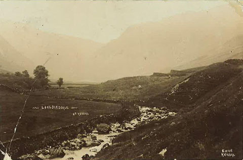 click to enlarge click to enlargePH0049.jpg "LONGSLEDDALE [ ] KENDAL" item:- private collection : 151 Image © see bottom of page |
|||
|
|
||||
| evidence:- | old photograph:- |
|||
| source data:- | River Sprint and Sadgill Bridge by J H Hogg, Kendal, 1900s.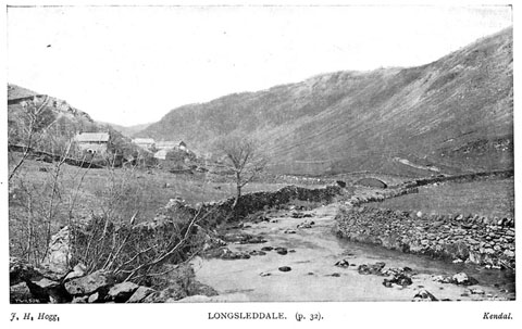 click to enlarge click to enlargeBII37.jpg in guide book, Kendal Illustrated, published by T Wilson, Kendal, Westmorland, 1900s. "LONGSLEDDALE" item:- private collection : 58 Image © see bottom of page |
|||
|
|
||||
| evidence:- | old newspaper:- Z8900705.txt placename:- Sprint, River placename:- Crazy Beck |
|||
| source data:- | Z8900705.txt Westmorland Gazette Transcription from the Westmorland Gazette 5 July 1890 page 6:- "... The river [Sprint] is sometimes called the crazy beck, because like crazy people it bursts out wildly. One of its wildest efforts was in the autumn of 1888, when 3 1/2 inches of rain were registered in 24 hours. ... The crazy beck then became a mighty river, and in parts made a vast lake, so that passage was impossible, and one of the dalesmen said a man of war might sail for two miles, but it would have been a small man of war ship. ..." |
|||
|
|
||||
| notes:- |
The Kendal Reservoir Commissioners suggested a reservoir just over half a mile long,
51 acres, behind a high embankment above Sadgill Bridge. |
|||
| Somervell, John: 1930: Water Power Mills of South Westmorland |
||||
|
|
||||
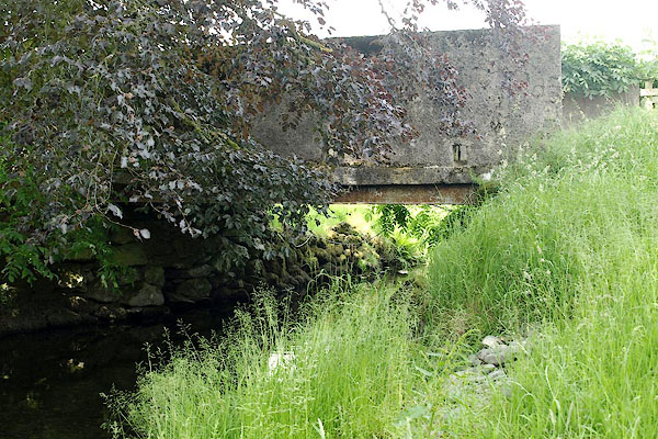
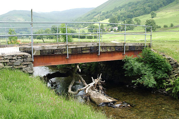
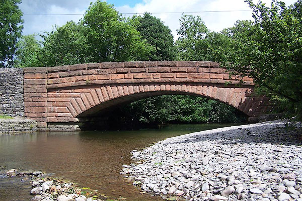
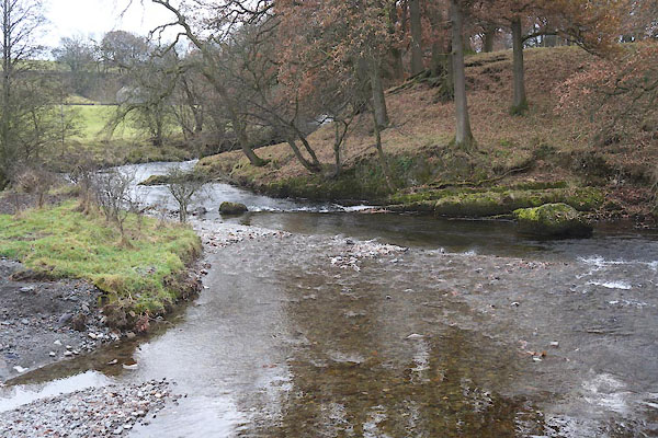 CFT01.jpg Below Sprint Bridge (taken 2.12.2016) |
||||
|
|
||||
| places:- |
|
|||
|
||||
|
||||
|
||||
|
||||
|
||||
|
||||
|
||||
|
||||
|
||||
|
||||
|
||||
|
||||
|
||||
|
||||
|
||||
|
||||
|
||||
|
||||
|
||||
|
||||
|
||||
|
||||
|
||||
|
||||
|
||||
|
||||
|
||||
|
||||
Lakes Guides menu.