 West 1784 map NY42


|

|
|
|
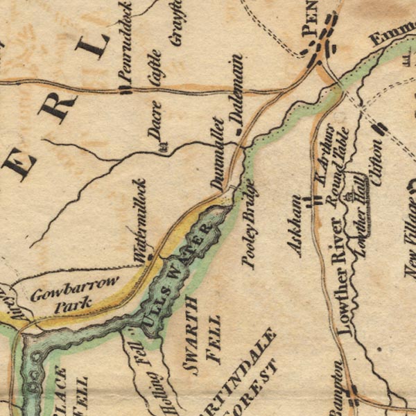
gazetteer links places may or may not be labelled on the map |
||

|
-- Arthur's Round Table |
|
|
|
-- Askham |
|
|
|
-- Dacre Beck |
|
|
|
-- Dacre Castle |
|
|
|
-- Dalemain |
|
|
|
-- Dunmallard Hill |
|
|
|
-- Eamont, River |
|
|
|
-- Fusedale Beck |
|
|
|
-- Gowbarrow Park |
|
|
|
-- Penruddock |
|
|
|
-- Pooley Bridge |
|
|
|
-- Rampsgill Beck |
|
|
|
-- Swarth Fell -- "SWARTH FELL" |
|
|
|
-- Ullswater -- "ULLS WATER" |
|
|
|
-- Watermillock |
|
|
civil parishes The area roughly includes parts of parishes:- Sockbridge and Tirril Penrith Martindale Bampton Barton Askham Catterlen Mungrisdale Greystoke Hutton Dacre Matterdale |
||
|
|
||
|
|
Lakes Guides menu. | |