Old Cumbria Gazetteer
 |
 |
|
||
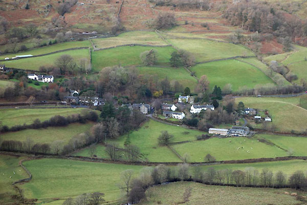
| Troutbeck, Lakes | ||||
| Troutbeck | ||||
| civil parish:- | Lakes (formerly Westmorland) | |||
| county:- | Cumbria | |||
| locality type:- | locality | |||
| locality type:- | buildings | |||
| locality type:- | valley | |||
| coordinates:- | NY41160317 (etc) | |||
| 1Km square:- | NY4103 | |||
| 10Km square:- | NY40 | |||
|
|
||||
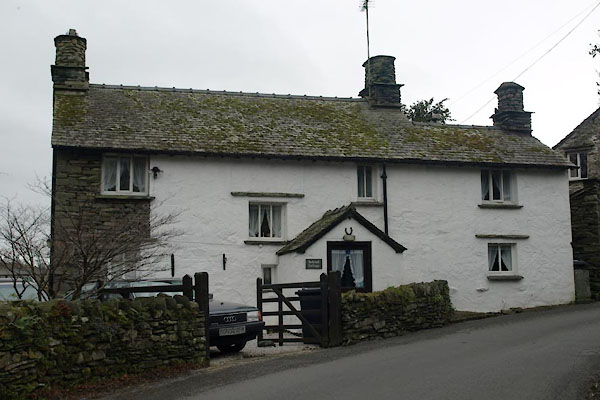
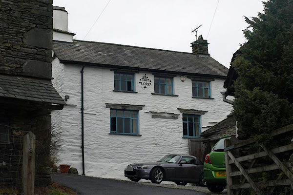
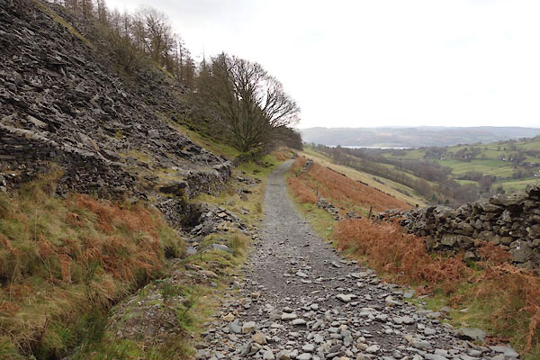
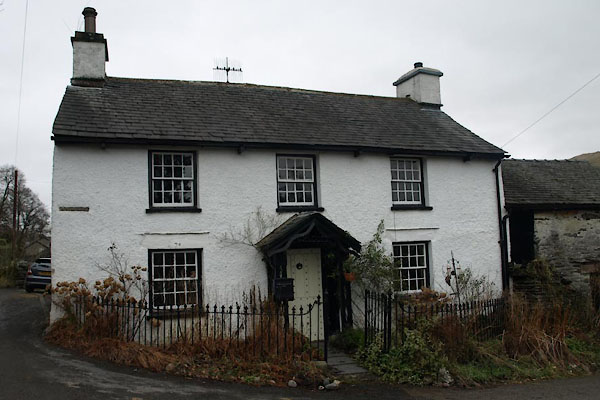
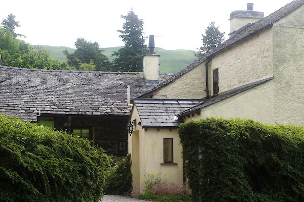
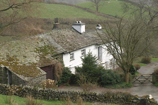
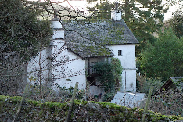
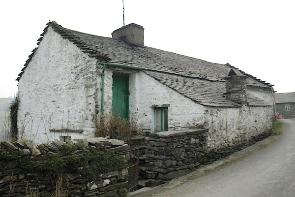
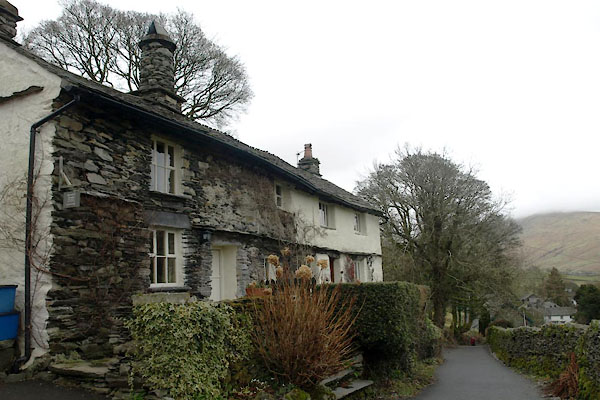
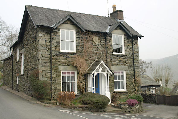
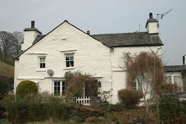
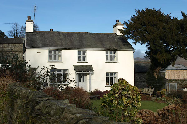
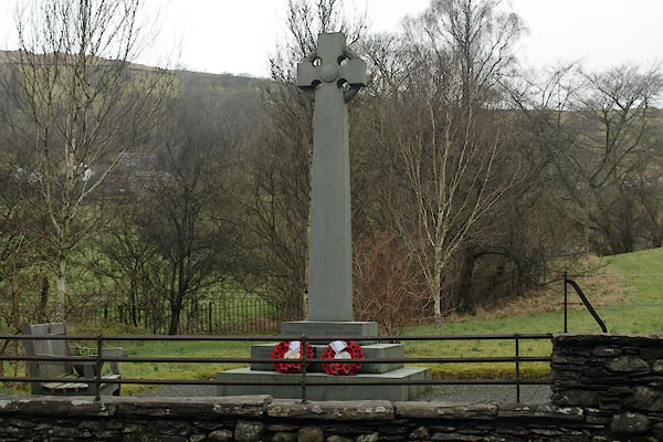
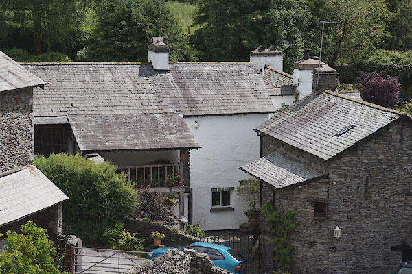
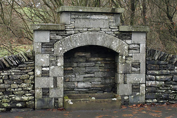
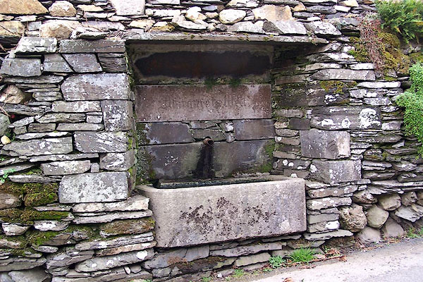
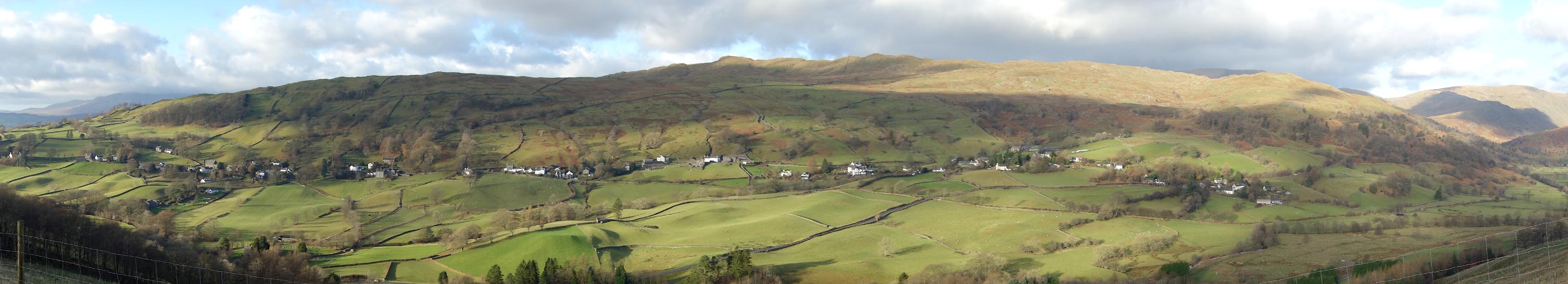
 BZS55.jpg (taken 4.12.2013) 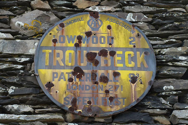 BTY51.jpg AA village sign:- "AUTOMOBILE ASSOCIATION / AA / LOWWOOD 2 / TROUTBECK / PATTERDALE 9¾/ LONDON 271 / SAFETY FIRST" (taken 22.1.2011) |
||||
|
|
||||
| evidence:- | old map:- OS County Series (Wmd 26 12) placename:- Troutbeck |
|||
| source data:- | Maps, County Series maps of Great Britain, scales 6 and 25
inches to 1 mile, published by the Ordnance Survey, Southampton,
Hampshire, from about 1863 to 1948. |
|||
|
|
||||
| evidence:- | old map:- Saxton 1579 placename:- Troutbek |
|||
| source data:- | Map, hand coloured engraving, Westmorlandiae et Cumberlandiae Comitatus ie Westmorland
and Cumberland, scale about 5 miles to 1 inch, by Christopher Saxton, London, engraved
by Augustinus Ryther, 1576, published 1579-1645.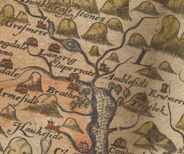 Sax9NY30.jpg Building, symbol for a hamlet, which may or may not have a nucleus. "Troutbek" Settlement. item:- private collection : 2 Image © see bottom of page |
|||
|
|
||||
| evidence:- | old map:- Speed 1611 (Wmd) placename:- Troutbek |
|||
| source data:- | Map, hand coloured engraving, The Countie Westmorland and
Kendale the Cheif Towne, scale about 2.5 miles to 1 inch, by
John Speed, 1610, published by George Humble, Popes Head Alley,
London, 1611-12.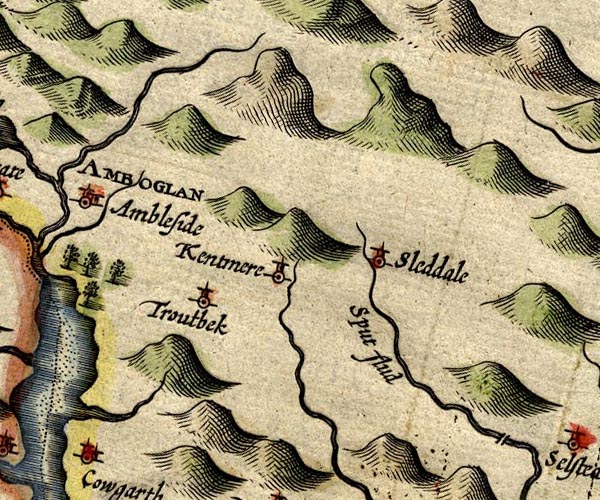 SP14NY40.jpg "Troutbek" circle, tower item:- Armitt Library : 2008.14.5 Image © see bottom of page |
|||
|
|
||||
| evidence:- | old map:- Jansson 1646 placename:- Troutbek |
|||
| source data:- | Map, hand coloured engraving, Cumbria and Westmoria, ie
Cumberland and Westmorland, scale about 3.5 miles to 1 inch, by
John Jansson, Amsterdam, Netherlands, 1646.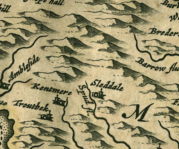 JAN3NY40.jpg "Troutbek" Buildings and tower. item:- JandMN : 88 Image © see bottom of page |
|||
|
|
||||
| evidence:- | hearth tax returns:- Hearth Tax 1675 placename:- Troutbeck |
|||
| source data:- | Records, hearth tax survey returns, Westmorland, 1674/75. "Troutbeck" |
|||
|
|
||||
| evidence:- | hearth tax returns:- Hearth Tax 1670 placename:- Troutbecke |
|||
| source data:- | Records, hearth tax returns, exchequer duplicates, Westmorland,
1670. "Troutbecke" |
|||
|
|
||||
| evidence:- | old map:- Morden 1695 (Cmd) placename:- Troutbeck |
|||
| source data:- | Map, uncoloured engraving, Cumberland, scale about 4 miles to 1
inch, by Robert Morden, 1695, published by Abel Swale, the
Unicorn, St Paul's Churchyard, Awnsham, and John Churchill, the
Black Swan, Paternoster Row, London, 1695-1715.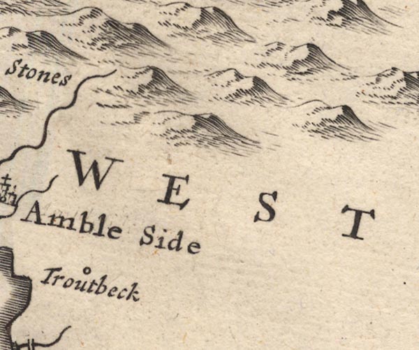 MD12NY40.jpg "Troutbeck" Circle. item:- JandMN : 90 Image © see bottom of page |
|||
|
|
||||
| evidence:- | old map:- Morden 1695 (Wmd) placename:- Troutbeck |
|||
| source data:- | Map, hand coloured engraving, Westmorland, scale about 2.5 miles to 1 inch, by Robert
Morden, published by Abel Swale, the Unicorn, St Paul's Churchyard, Awnsham, and John
Churchill, the Black Swan, Paternoster Row, London, 1695.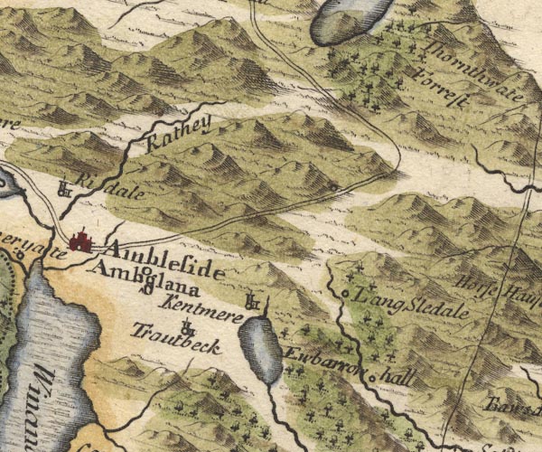 MD10NY40.jpg "Troutbeck" Circle, building and tower. item:- JandMN : 24 Image © see bottom of page |
|||
|
|
||||
| evidence:- | old map:- Jefferys 1770 (Wmd) placename:- Troutbeck |
|||
| source data:- | Map, 4 sheets, The County of Westmoreland, scale 1 inch to 1
mile, surveyed 1768, and engraved and published by Thomas
Jefferys, London, 1770.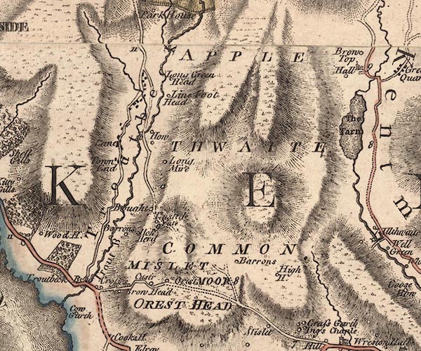 J5NY40SW.jpg "Troutbeck" hill hachuring; valley, locality and buildings item:- National Library of Scotland : EME.s.47 Image © National Library of Scotland |
|||
|
|
||||
| evidence:- | old text:- Clarke 1787 placename:- Troutbeck item:- poem; Taming of a Shrew, The |
|||
| source data:- | Guide book, A Survey of the Lakes of Cumberland, Westmorland,
and Lancashire, written and published by James Clarke, Penrith,
Cumberland, and in London etc, 1787; published 1787-93. goto source goto sourcePage 134:- "..." "... The river ... Troutbeck .... gives name to a town near upon its banks, which is upwards of a mile in length, and for one year, viz. part of 1784, and part of 1785, had neither within or belonging to it, either Clergyman, Miller, or Blacksmith: The reader will be more astonished, when I tell him that this town is so large as to contain 300 Constables, 300 common Carriers, and 300 Bulls." "In this town was born one Hogarth, a poet, who was descended from the same stock with the celebrated Painter of that name, and lived at the same time. Their great grandfather, there called Thomas Hoggart, was born at the village of Bampton in Westmorland, where he and his two sons are registered in the parish register. They always spelled it Hoggart, till the painter softened it into Hogarth. Our poet wrote three or four plays, and had a party of comedians (his own villagers,) to perform them at the Christmas entertainments: So much of late hath appeared in the news-papers and magazines of this man, that I shall in part be silent concerning him; only giving here a specimen of his poetry, copied from his own hand-writing, which is all the original I at present have. He was a poor labouring man, and wrote his pieces mostly after supper, or on Sunday afternoons; and they were generally upon some particular affair that happened in his neighbourhood, and were sung by himself to his companions over a glass of ale the next meeting; let his song speak for him." goto sourcePage 135:- "THE TAMING OF A SHREW." "ALL you that are assembled here, come listen to my song, But first a favour I do crave for fear of doing wrong; I do entreat this company, that they will silent be And then a merry song I'll sing if they'll thereto agree." "The song which I intend to sing, touch women most of all, Yet loth am I that any here should with me scold or brawl; For I've enough of that at home, at board, and eke at bed, And once for singing of this song my wife she broke my head." "But if pleased be this company, and pleased be those men, I'll venture once more a broken pate, and going it o'er again; But first I'll tell you what its call'd, perhaps you'll hear't no more, Its call'd the Taming of a Shrew, not often sung before." "..." goto sourcePage 136:- "..." "He frequently made sarcastical songs on his neighbours, (if they had stray's or trip'd a little in crim. con.) and sung them in the presence of the party, for which he often received a broken pate, and indeed had one eye knocked out by a blow with a stick from one of them; this made him cautious not to sing afterwards when the parties were present, except he had a good Esquire at his back." "At this Troutbeck was also born the present truly learned, and pious judge, Sir John Wilson, who by merit alone hath risen to the dignities he now bears." "There lived at this Troutbeck [at Hird House] a man of amazing strength, whose name was Gilpin, commonly called the Cork Lad of Kentmere: ..." |
|||
|
|
||||
| evidence:- | old text:- Gents Mag |
|||
| source data:- | Magazine, The Gentleman's Magazine or Monthly Intelligencer or
Historical Chronicle, published by Edward Cave under the
pseudonym Sylvanus Urban, and by other publishers, London,
monthly from 1731 to 1922. goto source Gentleman's Magazine 1805 p.919 "..." "The woody valley of Troutbeck, or Trout-river, an interesting walk of two miles from Low-wood, boasts a few scattered cottages, a moss-grey church, and a stream. so beautifully clear that not a fish nor a weed can escape detection. But these are not the only boast of Troutbeck. The modest register of her sons, "To fortune and to Fame unknown," is ennobled by the birth of Romney and Wilson; names honourably distinguished in the history of our Arts and Jurisprudence." "We crossed the river and mounted a green slope, ornamented by the neat and hospitable mansion in which the learned Judge tranquillized the evening of his active life." "Untainted by the guilty bribe, Uncurs'd amid the harpy tribe, No orphan's cry to wound his ear, His honour and his conscience clear!" "There is a capacious quarry above Troutbeck, that furnishes a stone of excellent durability, and from this were conveyed the materials employed in the last reparation of Westminster Hall." |
|||
|
|
||||
| evidence:- | old map:- Cooper 1808 placename:- Troutbeck |
|||
| source data:- | Map, hand coloured engraving, Westmoreland ie Westmorland, scale
about 9 miles to 1 inch, by H Cooper, 1808, published by R
Phillips, Bridge Street, Blackfriars, London, 1808. click to enlarge click to enlargeCOP4.jpg "Troutbeck" circle; village or hamlet item:- Dove Cottage : 2007.38.53 Image © see bottom of page |
|||
|
|
||||
| evidence:- | old map:- Otley 1818 placename:- Troutbeck |
|||
| source data:- | Map, uncoloured engraving, The District of the Lakes,
Cumberland, Westmorland, and Lancashire, scale about 4 miles to
1 inch, by Jonathan Otley, 1818, engraved by J and G Menzies,
Edinburgh, Scotland, published by Jonathan Otley, Keswick,
Cumberland, et al, 1833. OT02NY40.jpg "TROUTBECK" item:- JandMN : 48.1 Image © see bottom of page |
|||
|
|
||||
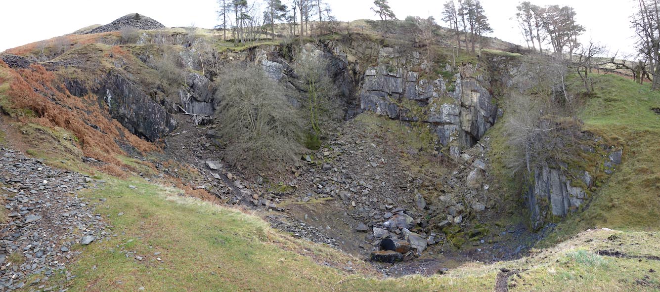
| evidence:- | descriptive text:- Otley 1823 (5th edn 1834) item:- geology |
|||
| source data:- | Guide book, A Concise Description of the English Lakes, the
mountains in their vicinity, and the roads by which they may be
visited, with remarks on the mineralogy and geology of the
district, by Jonathan Otley, published by the author, Keswick,
Cumberland now Cumbria, by J Richardson, London, and by Arthur
Foster, Kirkby Lonsdale, Cumbria, 1823; published 1823-49,
latterly as the Descriptive Guide to the English Lakes. goto source Page 158:- "The THIRD division - forming only inferior elevations - commences with a bed of dark-blue or blackish transition limestone, containing here and there a few shells and madrepores, and alternating with a slaty rock of the same colour; the different layers of each being in some places several feet, in others only a few inches in thickness. This limestone crosses the river Duddon near Broughton; passing Broughton Mills it runs in a north-east direction through Torver, by the foot of the Old Man mountain, and appears near Low Yewdale and Yew Tree. Here it makes a considerable slip to the eastward, after which it ranges past the Tarns upon the hills above Borwick Ground; and stretching through Skelwith, it crosses the head of Windermere near Low Wood Inn. Then passing above Dovenest and Skelgill, it traverses the vales of Troutbeck, Kentmere, and Long Sleddale;" |
|||
|
|
||||
| evidence:- | old drawing:- Flower 1830s |
|||
| source data:- | Drawing, pencil, house in Troutbeck? Westmorland, by John Flower, 1832.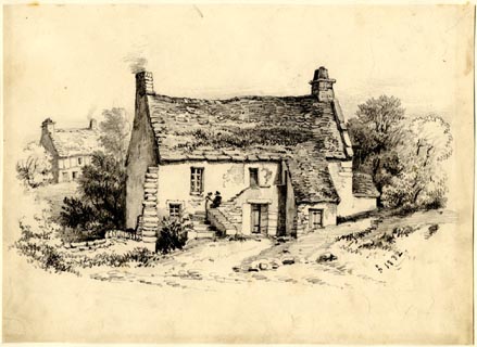 click to enlarge click to enlargePR1860.jpg ms, lower right "[ ] 1832" item:- Armitt Library : 1959.66.3 Image © see bottom of page |
|||
|
|
||||
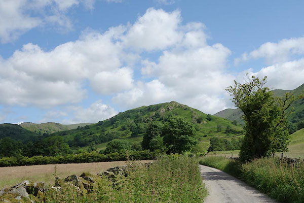
| evidence:- | descriptive text:- Ford 1839 (3rd edn 1843) placename:- Troutbeck |
|||
| source data:- | Guide book, A Description of Scenery in the Lake District, by
Rev William Ford, published by Charles Thurnam, Carlisle, by W
Edwards, 12 Ave Maria Lane, Charles Tilt, Fleet Street, William
Smith, 113 Fleet Street, London, by Currie and Bowman,
Newcastle, by Bancks and Co, Manchester, by Oliver and Boyd,
Edinburgh, and by Sinclair, Dumfries, 1839. goto source Page 31:- "..." "... Troutbeck, a mountain valley, distinguished by the Fells at its head - the picturesque remains of cottage architecture - ... The village is half a mile long, wildly scattered on the side of a steep hill, at the foot of which are the chapel and school. ..." goto sourcePage 160:- "..." "[Troutbeck] ... The village, or rather string of hamlets, bears the names of Town-end, Town-head, High-green, Cragg, and Highfold, and is distant from three to four miles north by east of Bowness, and south-east of Ambleside. From the elevated parts of the road above Troutbeck Bridge, splendid views of Windermere are obtained. The valley of Troutbeck is well worth visiting, and pleasant walks may be contrived to it from Ambleside, Low Wood Inn, and Bowness." |
|||
|
|
||||
| evidence:- | old map:- Ford 1839 map placename:- Troutbeck |
|||
| source data:- | Map, uncoloured engraving, Map of the Lake District of
Cumberland, Westmoreland and Lancashire, scale about 3.5 miles
to 1 inch, published by Charles Thurnam, Carlisle, and by R
Groombridge, 5 Paternoster Row, London, 3rd edn 1843.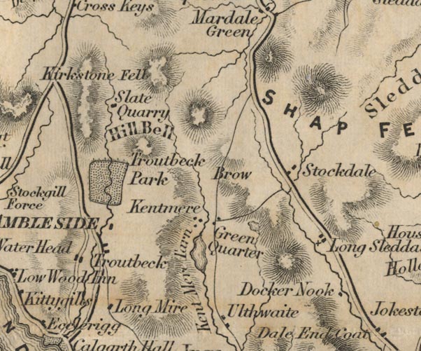 FD02NY40.jpg "Troutbeck" Dispersed settlement. item:- JandMN : 100.1 Image © see bottom of page |
|||
|
|
||||
| evidence:- | old map:- Garnett 1850s-60s H placename:- Troutbeck |
|||
| source data:- | Map of the English Lakes, in Cumberland, Westmorland and
Lancashire, scale about 3.5 miles to 1 inch, published by John
Garnett, Windermere, Westmorland, 1850s-60s.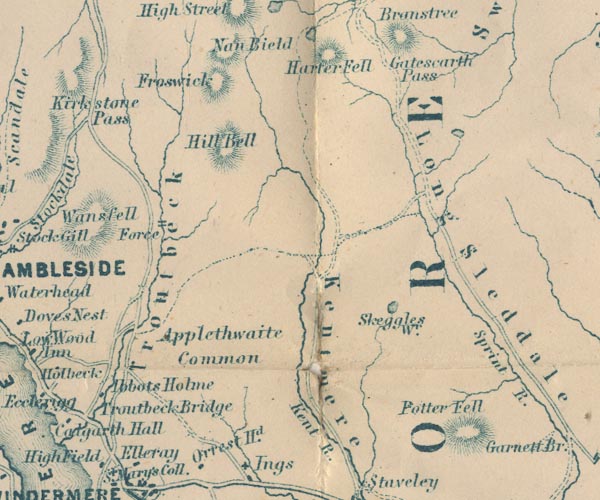 GAR2NY40.jpg "Troutbeck" river valley item:- JandMN : 82.1 Image © see bottom of page |
|||
|
|
||||
 Martineau Directory 1855 Martineau Directory 1855 |
||||
|
|
||||
| evidence:- | old text:- Martineau 1855 |
|||
| source data:- | Guide book, A Complete Guide to the English Lakes, by Harriet
Martineau, published by John Garnett, Windermere, Westmorland,
and by Whittaker and Co, London, 1855; published 1855-76. goto source Page 33:- "... The singular valley of Troutbeck was once a wooded basin, where the terrified Britons took refuge from the Romans, while the latter were making their great road from Kendal to Penrith. That road actually ran along the very ridge of the" goto sourcePage 34:- "Troutbeck hills, ... After Romans and Saxons were gone, the valley was a great park, and the inhabitants were virtually serfs, in danger of the gallows, (which had a hill to itself, named after it to this day) at the will and pleasure of the one great man. In course of time,- that is, a good many centuries ago,- the valley was disparked, and divided among the inhabitants,- only one very large estate being left,- the new park, containing 2,000 acres. This was the estate given by Charles I, to Huddlestone Phillipson, for his services in the civil wars. The valley now contains a string of hamlets,- Town End, Town Head, High Green, Crag, and High Fold; and its farmsteads and outbuildings show some of the most curious specimens of ancient edifices that are to be seen in the district. Josiah Brown, whom we mentioned in connexion with Orrest Head, found nearly his match in oddity in this vale. A "rum fellow" in Troutbeck had a prodigious bull; and so had Josiah: and what must they do but meet half-way, and have a bull-fight; the terms being that the winner should have the fallen animal. Josiah actually came riding his bull. The battle was tremendous and the Troutbeck animal went down before Josiah's, and" goto sourcePage 35:- "was given by him to the poor of Troutbeck. These anecdotes appear very strange to people who have lived in towns, or among the more level manners of the south: and this is why we relate them. They are among the curiosities of the district. Troutbeck is the most primitive of the frequented valleys of the district. To find any other so antique and characteristic, it is necessary to leave the high road, and explore the secluded dales of which the summer tourist sees and hears nothing. The dale looks from the uplands as if it had been scooped out between the ridges with a gigantic scoop. Its levels are parcelled out into small fields, of all manner of shapes; and the stream,- the beck abounding in trout,- winds along the bottom, from the foot of High Street, to fall into the lake just by Calgarth." |
|||
|
|
||||
| evidence:- | old print:- Nelson 1859 placename:- Valley of the Troutbeck |
|||
| source data:- | Print, Nelson print, Valley of the Troutbeck, Looking towards Windermere, Westmorland,
published by T Nelson and Sons, London etc, 1859.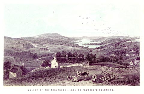 click to enlarge click to enlargeNS0506.jpg printed, bottom "VALLEY OF THE TROUTBECK - LOOKING TOWARDS WINDERMERE." item:- Armitt Library : 2003.13.6 Image © see bottom of page |
|||
|
|
||||
| evidence:- | old text:- Gents Mag item:- longevity |
|||
| source data:- | Magazine, The Gentleman's Magazine or Monthly Intelligencer or
Historical Chronicle, published by Edward Cave under the
pseudonym Sylvanus Urban, and by other publishers, London,
monthly from 1731 to 1922. goto source Gentleman's Magazine 1868 part 1 p.364 "LONGEVITY." "7. MR. URBAN, - Several correspondents have, in recent numbers of your magazine, noticed cases of this class; and I may with propriety add an instance within my own personal knowledge. The name of the individual I allude to, who is now in her 104th year, is Maragaret Longmire, a widow, in humble life, residing at Troutbeck, in the parish of Windermere. I have tested her case myself, and there cannot be a question that her age is as stated. Her Majesty the Queen, with her accustomed generosity and condescension, graciously remitted 3l. in Oct. last to the Rev. W. Sewell, to be applied by him to the poor aged woman's comforts. - I am, &c.," "JAMES NICHOLSON." "Thelwall Hall, Warrington," "January, 1867." "... ..." |
|||
|
|
||||
| evidence:- | old photograph:- Bell 1880s-1940s |
|||
| source data:- | Photograph, sepia, the head of Troutbeck, Westmorland, by Herbert Bell, photographer,
Ambleside, Westmorland, 1890s.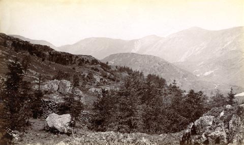 click to enlarge click to enlargeHB0750.jpg internegative at lower left:- "H. Bell" item:- Armitt Library : ALPS413 Image © see bottom of page |
|||
|
|
||||
| evidence:- | old print:- Bemrose 1881 placename:- Troutbeck |
|||
| source data:- | Print, uncoloured, Troutbeck, Westmorland, published by Bemrose and Sons, 23 Old Bailey,
London and Derby, by A B Moss, Carlisle, Cumberland, and by T Wilson, Kendal, Westmorland,
about 1881.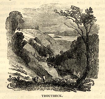 click to enlarge click to enlargeBEM106.jpg On p.27 of a Handy Guide to the English Lakes and Shap Spa. printed at bottom:- "TROUTBECK." item:- JandMN : 455.8 Image © see bottom of page |
|||
|
|
||||
| evidence:- | old print:- Bradley 1901 placename:- Troutbeck |
|||
| source data:- | Print, uncoloured lithograph, Troutbeck, Westmorland, by Joseph Pennell, published
by Macmillan and Co, London, 1901. click to enlarge click to enlargeBRL101.jpg Frontispiece to Highways and Byways in the Lake District, by A G Bradley. printed at lower centre:- "[JPennell]" printed at bottom:- "Troutbeck." item:- JandMN : 464.1 Image © see bottom of page |
|||
|
|
||||
| evidence:- | old print:- Bradley 1901 placename:- Troutbeck |
|||
| source data:- | Print, uncoloured lithograph, Troutbeck, Westmorland, by Joseph Pennell, published
by Macmillan and Co, London, 1901. click to enlarge click to enlargeBRL146.jpg On page 192 of Highways and Byways in the Lake District, by A G Bradley. printed at bottom:- "Troutbeck." item:- JandMN : 464.46 Image © see bottom of page |
|||
|
|
||||
| evidence:- | town plan:- Historical Monuments 1936 |
|||
| source data:- | Town plan, uncoloured lithograph, Troutbeck Map Showing Position of Monuments, Troutbeck,
Lakes, Westmorland, scale about 1 to 15000, about 4 inches to 1 mile, published by
Royal Commission on Historical Monuments England, London, 1936. click to enlarge click to enlargeHMW132.jpg On p.228 of the Inventory of the Historical Monuments in Westmorland. printed, lower centre "TROUTBECK / MAP SHOWING POSITION / OF MONUMENTS" item:- Armitt Library : A745.133 Image © see bottom of page |
|||
|
|
||||
| evidence:- | old map:- Post Office 1850s-1900s placename:- Wansfell |
|||
| source data:- | Post road maps, General Post Office Circulation Map for England
and Wales, for the General Post Office, London, 1850s-1900s. click to enlarge click to enlargePOF7Cm.jpg "Wansfell" map date 1909 |
|||
|
|
||||
| :- |
images courtesy of the British Postal Museum and Hampshire CC Museums |
|||
|
|
||||
| evidence:- | old print:- Sylvan 1847 placename:- Troutbeck |
|||
| source data:- | Print, engraving, Windermere from Troutbeck, Westmorland, published by John Johnstone,
Paternoster Row, London, et al, 1847.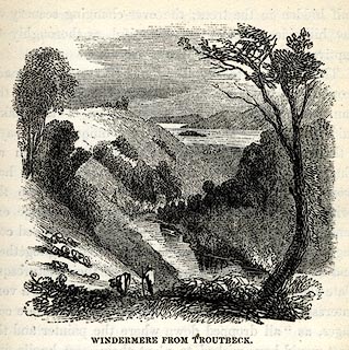 click to enlarge click to enlargeSYL108.jpg On p.39 of Sylvan's Pictorial Guide to the English Lakes. printed at bottom:- "WINDERMERE FROM TROUTBECK." item:- Armitt Library : A1201.8 Image © see bottom of page |
|||
|
|
||||
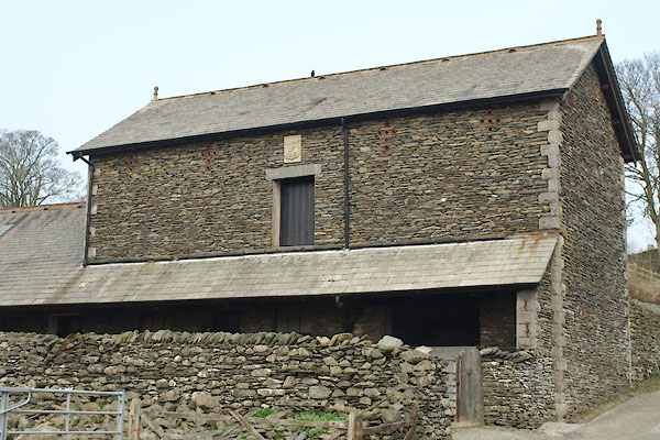
| evidence:- | old drawing:- placename:- Troutbeck |
|||
| source data:- | Drawing, Near Troutbeck, by Windermere, Westmorland, by John Harper, 1840.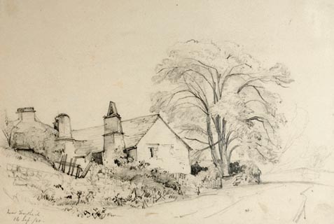 click to enlarge click to enlargePR1380.jpg View of Lakeland vernacular farmhouse near Troutbeck. Two storey with large vernacular round chimneys surrounded by walls and trees. Executed in pencil with touches of white gouache on buff coloured paper. Preparatory sketch drawn on the spot by the artist. at bottom left:- "near Troutbeck. 16 Sep/40" item:- Tullie House Museum : 2009.89.23 Image © Tullie House Museum |
|||
|
|
||||
| evidence:- | outline view:- Tattersall 1836 placename:- Troutbeck Hundred |
|||
| source data:- | Print, engraving, Windermere from Rayrigg Bank, Westmorland, drawn by George Tattersall,
engraved by W F Topham, published by Sherwood and Co, Paternoster Row, London, about
1836.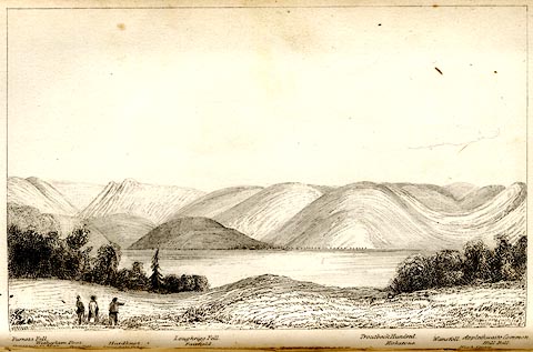 click to enlarge click to enlargeTAT104.jpg The print is captioned with mountain names and acts as an outline view. Tipped in opposite p.31 of The Lakes of England, by George Tattersall. printed at bottom:- "WINDERMERE from RAYRIGG BANK." printed at bottom left to right:- "Furness Fells. / Coniston Old Man. / Wetherlam Foot. / Wrynose. / Langdale Pikes. / Hardknot. / Loughrigg Fell. / Fairfield. / Troutbeck Hundred. / Kirkstone. / Wansfell. / Applethwaite Common. / High Street. / Hill Bell." item:- Armitt Library : A1204.5 Image © see bottom of page |
|||
|
|
||||
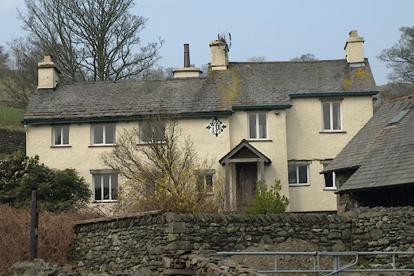
| evidence:- | old print:- Green 1809 placename:- Troutbeck |
|||
| source data:- | Print, soft ground etching, Farm House in Troutbeck, Westmorland, by William Green,
published by William Green, Ambleside, Westmorland, and Longman, Hurst, Rees and Orme,
Paternoster Row, London, 1809.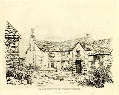 click to enlarge click to enlargeGN0336.jpg Plate 36 in Seventy Eight Studies from Nature. printed in introductory pages to set of prints:- "Number 36. Troutbeck is four miles from Ambleside, and two from the Inn at Low Wood. - It is a large village; the buildings are picturesque, and those who delight in cottage scenery will rarely find a greater variety in so small a compass. From the road which connects the Inn and the village, are various stands, where the traveller may view Windermere with advantages that scarcely any other road in the neighbourhood of that lake can give him." printed at bottom:- "FARM HOUSE IN TROUTBECK. / Published Ambleside, Augst. 1st. 1809, by W. Green." item:- Armitt Library : A6637.36 Image © see bottom of page |
|||
|
|
||||
| evidence:- | old print:- Green 1809 |
|||
| source data:- | Print, Farm House in Troutbeck, Westmorland, drawn and engraved by William Green,
Ambleside, Westmorland, 1809.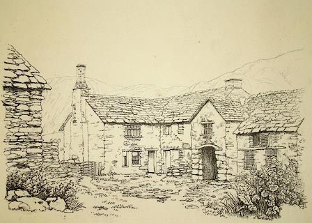 click to enlarge click to enlargePR1271.jpg Courtyard of a stone farmhouse with outbuilding to left of composition. Beyond rise barren fells. printed at bottom centre:- "FARM HOUSE IN AMBLESIDE Published Ambleside. Augst 1st 1809 by W. Green." item:- Tullie House Museum : 1978.108.92.10 Image © Tullie House Museum |
|||
|
|
||||
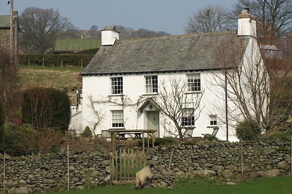
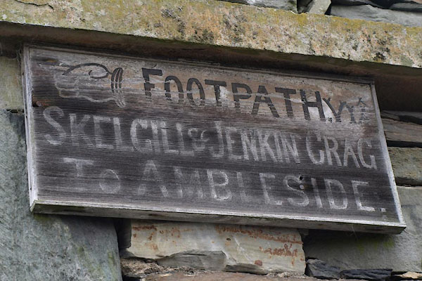
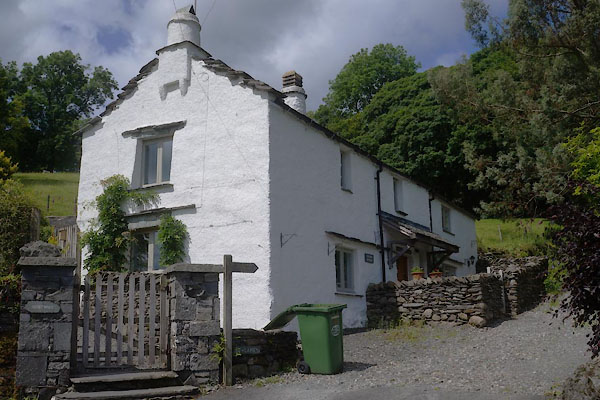
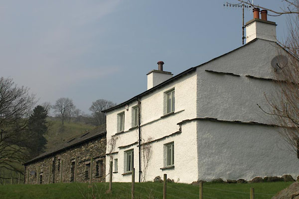
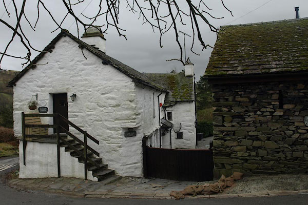
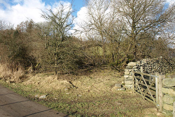
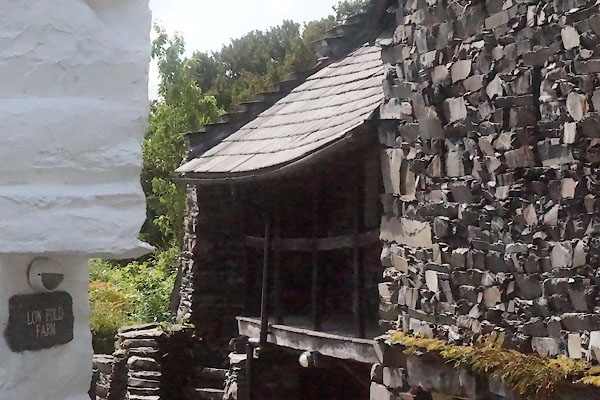
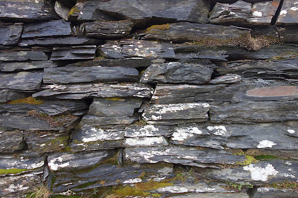
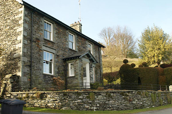
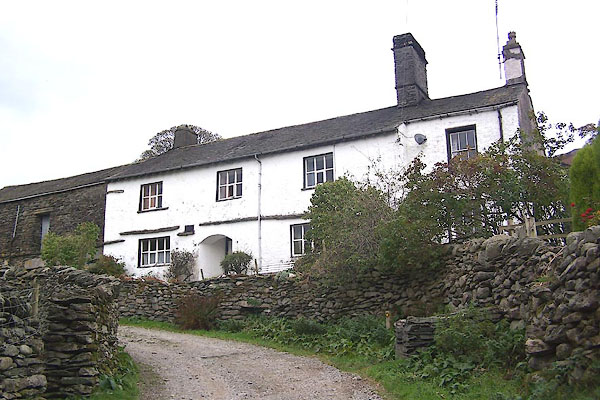
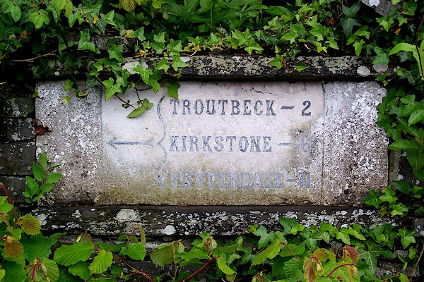
 Click to enlarge BZS54.jpg (taken 4.12.2013) 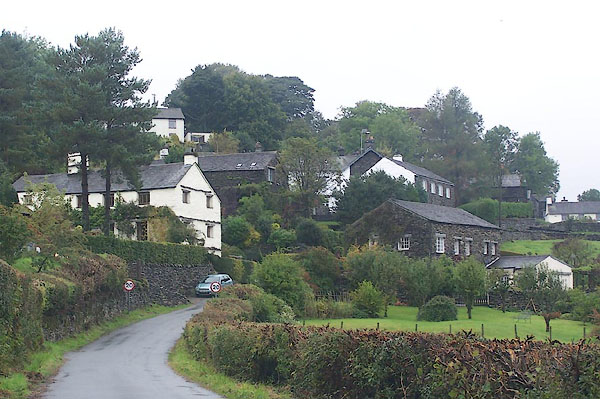 BJW74.jpg (taken 30.9.2005) |
||||
|
|
||||
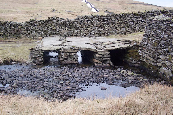
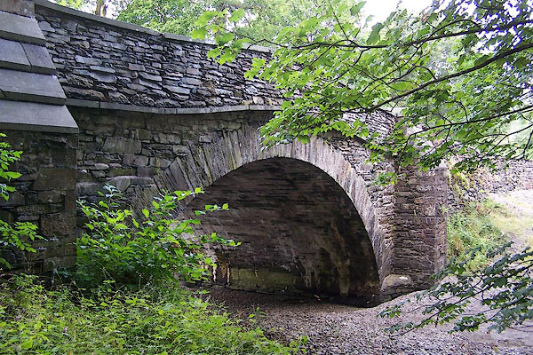
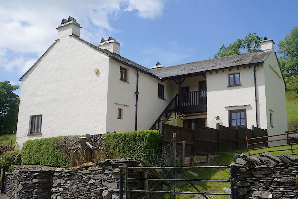
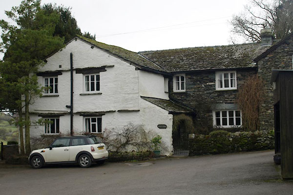
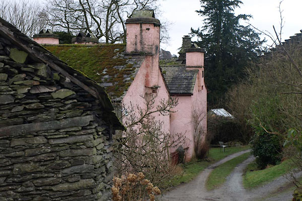
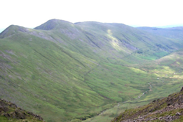
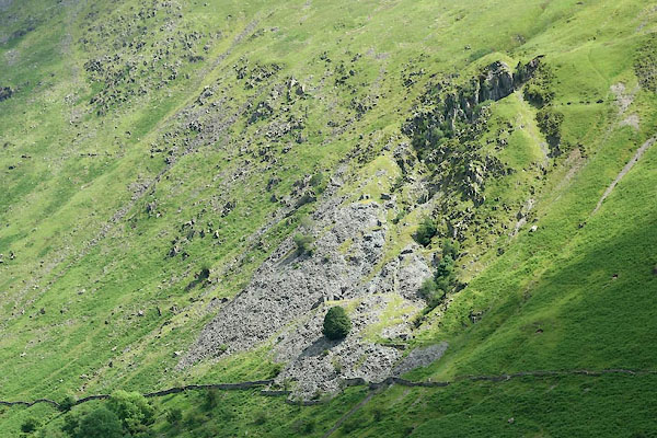
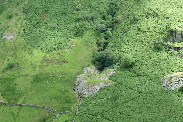
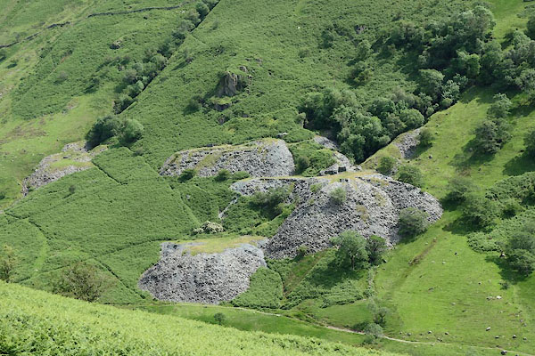
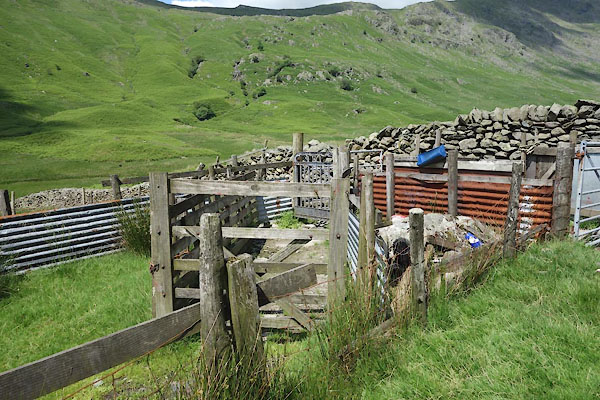
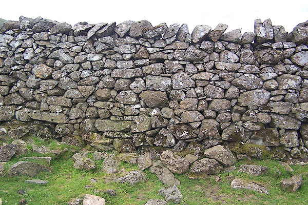
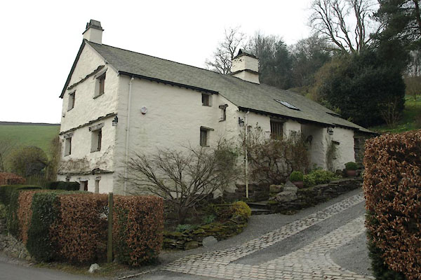
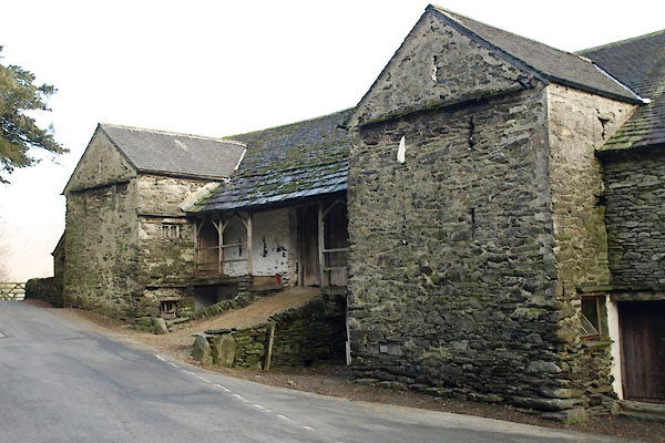
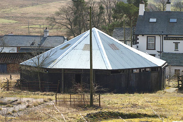
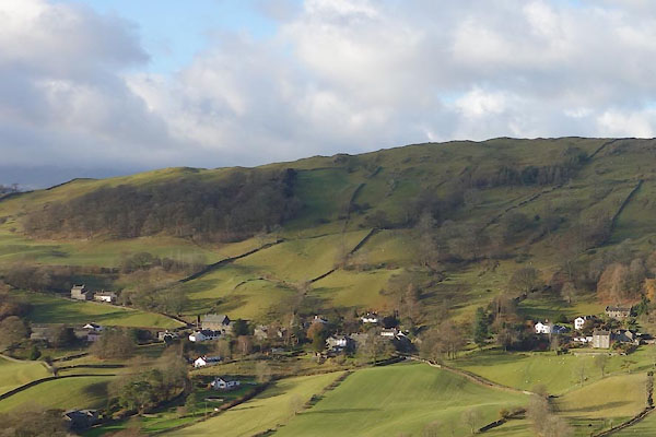
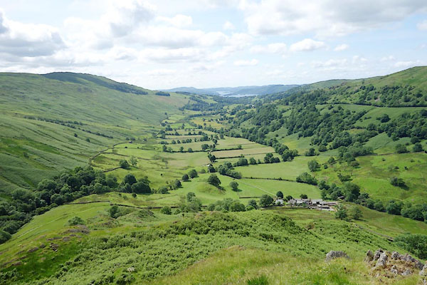 CDO42.jpg (taken 9.7.2105) 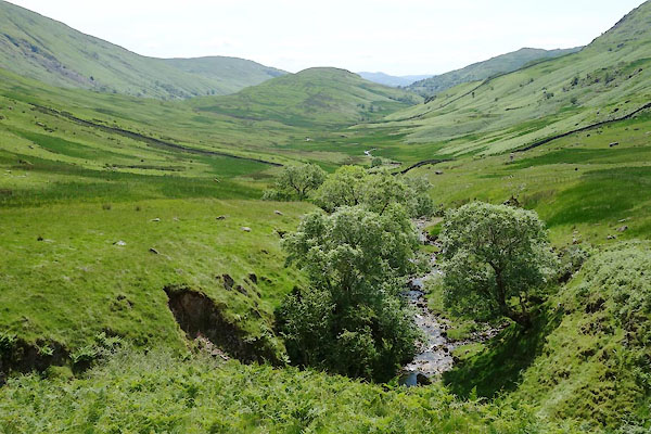 CDO56.jpg (taken 9.7.2105) 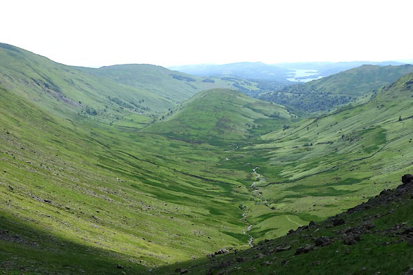 CDO57.jpg (taken 9.7.2105) |
||||
|
|
||||
| hearsay:- |
In the mid 19th century the local farmers would pass pest-striken cattle, and womenfolk
and children, through a 'need fire' to cure them. |
|||
|
|
||||
| hearsay:- |
In 1799 the first hunt mayor, R Birkett, was elected by the Troutbeck Hunt, to lead
the 'mayor hunt' and to officiate at the subsequent merry neet. |
|||
|
|
||||
| hearsay:- |
Troutbeck had three hundred bridges, three hundred constables, and three hundred bulls.
The valley is divided into three hundreds, each with a bridge, a constable, and a
bull. |
|||
|
|
||||
| places:- |
|
|||
|
||||
|
||||
|
||||
|
||||
|
||||
|
||||
|
||||
|
||||
|
||||
|
||||
|
||||
|
||||
|
||||
|
||||
|
||||
|
||||
|
||||
|
||||
|
||||
|
||||
|
||||
|
||||
|
||||
|
||||
|
||||
|
||||
|
||||
|
||||
|
||||
|
||||
|
||||
|
||||
|
||||
|
||||
|
||||
|
||||
|
||||
|
||||
|
||||
|
||||
|
||||
|
||||
|
||||
|
||||
|
||||
|
||||
|
||||
|
||||
|
||||
|
||||
|
||||
|
||||
|
||||
|
||||
|
||||
|
||||
|
||||
|
||||
|
||||
|
||||
|
||||
|
||||
|
||||
|
||||
|
||||
|
||||
|
||||
|
||||
|
||||
|
||||
|
||||
|
||||
|
||||
|
||||
|
||||
|
||||
|
||||
|
||||
|
||||
|
||||
|
||||
|
||||
|
||||
|
||||
|
||||
|
||||
|
||||
|
||||
|
||||
|
||||
|
||||
|
||||
|
||||
|
||||
|
||||
|
||||
|
||||
|
||||
|
||||
|
||||
|
||||
|
||||
|
||||
|
||||
|
||||
|
||||
|
||||
|
||||
|
||||
|
||||
|
||||
|
||||
|
||||
|
||||
|
||||
|
||||
|
||||
|
||||
|
||||
|
||||
|
||||
|
||||
|
||||
|
||||
|
||||
|
||||
|
||||
|
||||
|
||||
|
||||
|
||||
|
||||
|
||||
|
||||
|
||||
|
||||
|
||||
|
||||
|
||||
|
||||
|
||||
|
||||
|
||||
|
||||
|
||||
|
||||
|
||||
|
||||
|
||||
|
||||
|
||||
|
||||
|
||||
|
||||
|
||||
|
||||
|
||||
|
||||
|
||||
|
||||
|
||||
|
||||
|
||||
|
||||
|
||||
|
||||
|
||||
|
||||
|
||||
|
||||
|
||||
Lakes Guides menu.