


 road, Penrith to Barnard Castle
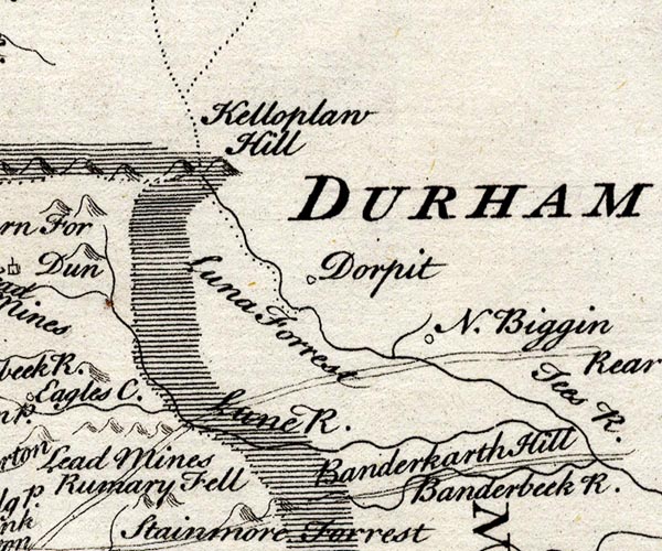
SMP2NYW.jpg
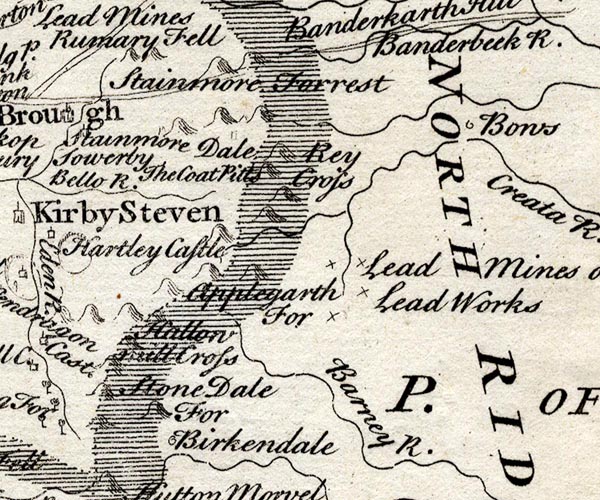
SMP2NYV.jpg
Double line.
item:- Dove Cottage : 2007.38.59
Image © see bottom of page
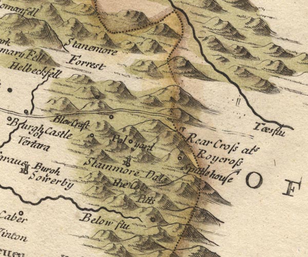
MD10NY81.jpg
Double line.
item:- JandMN : 24
Image © see bottom of page
page 125; in the Cross Roads
| M. F. | |
| To Brough | 8 4 |
| Bowes | 21 4 |
| Greta Bridge | 27 4 |
| Catterick | 42 4 |
| York Gate | 56 4 |
| ** Rippon | 61 4 |
| ** Boroughbridge | 65 4 |
Image © see bottom of page
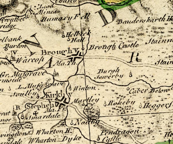
BO18NY71.jpg
double line, solid
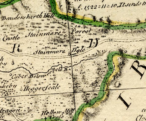
BO18NY81.jpg
double line, solid
item:- Armitt Library : 2008.14.10
Image © see bottom of page
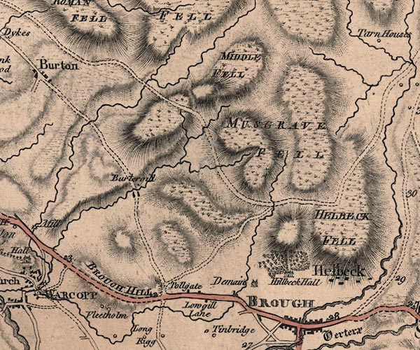
J5NY71NE.jpg
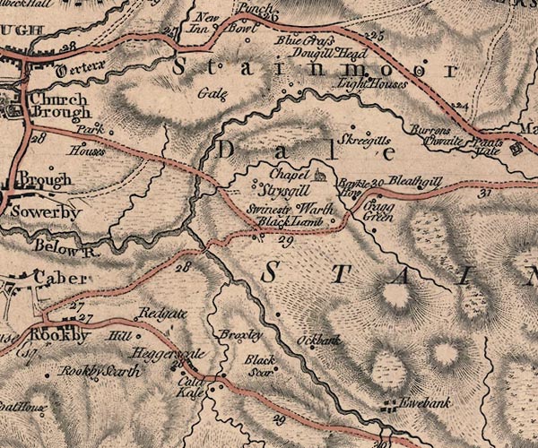
J5NY81SW.jpg
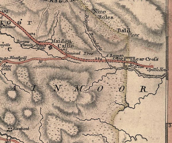
J5NY81SE.jpg
double line; road, bold, main road, with mile numbers
item:- National Library of Scotland : EME.s.47
Images © National Library of Scotland
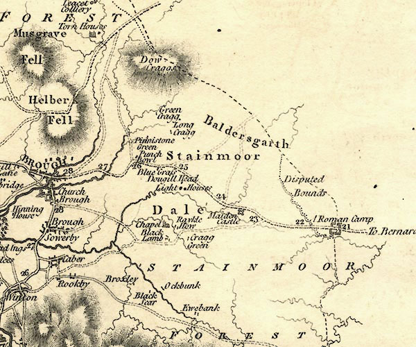
CY24NY81.jpg
"To Bernard Castle"
double line, bold light, numbered miles; main road
item:- JandMN : 129
Image © see bottom of page
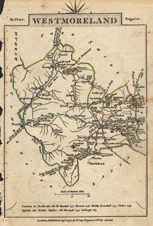 click to enlarge
CY16.jpg
"to Bowes Great Bridge &Catterick / the London Road"
double line, with road distances from Bowes?
item:- JandMN : 44
Image © see bottom of page
 goto source
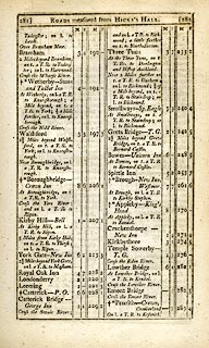 click to enlarge
C38281.jpg
page 281-282 "LONDON to Glasgow"
part of
 goto source
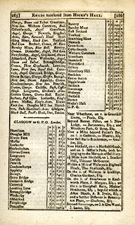 click to enlarge
C38285.jpg
page 285-286 "GLASGOW to G.P.O. London."
part of reverse route
item:- JandMN : 228.1
Image © see bottom of page
 click to enlarge
GRA1Wd.jpg
"to Bowes, Greta Br. &Catterick - the London Road."
double line, feathered edges; post road?
item:- Hampshire Museums : FA2000.62.4
Image © see bottom of page
 click to enlarge
Lw21.jpg
double line, light bold; 'Mail-Coach Roads (Direct)'
item:- private collection : 18.21
Image © see bottom of page
item:- snow; mail coach
 goto source
Gentleman's Magazine 1807 p.1167 "Dec. 4. In Staffordshire, Derbyshire, Lancashire, and Westmoreland, the weather has been for the last week particularly sever, with deep snow, and dreadful hurricanes from the North-east. ... In many parts the stage-coaches could not be got on, though drawn by six or eight horses. The Carlisle mail-coach, on Monday last, met with great difficulty in getting over Stainmoor, though drawn by six horses."
 click to enlarge
WAL5.jpg
"to Bowes"
double line, hatched; 'Mail Coach Road'
item:- JandMN : 63
Image © see bottom of page
 click to enlarge
HA18.jpg
"To Bowes"
double line, solid; main road; Rey Cross, Maiden castle, New Inn, Brough
item:- Armitt Library : 2008.14.58
Image © see bottom of page
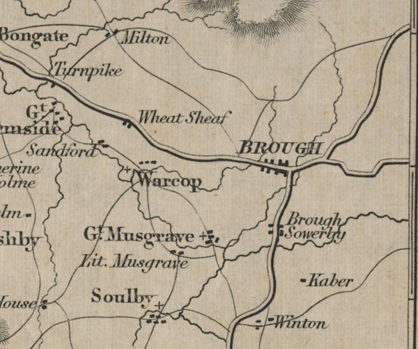
FD02NY71.jpg
item:- JandMN : 100.1
Image © see bottom of page
 click to enlarge
IG5181.jpg
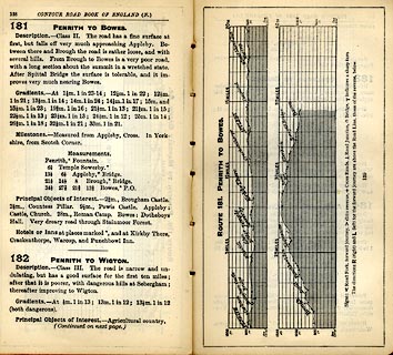
Itinerary, with gradient diagram, route 181, Penrith to Bowes, and route 182, Penrith to Wigton, Westmorland, Cumberland and Durham, 1898.
item:- JandMN : 763.16
Image © see bottom of page
 click to enlarge
CTC286.jpg
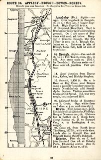
Strip road map, route 39, Appleby Brough Bowes Rokeby, scale roughly 5 miles to 1 inch.
Together with an itinerary and gradient diagram.
item:- JandMN : 491.86
Image © see bottom of page
 Act of Parliament
 Bowes, Durham
 Rey Cross, Durham
 North Stainmore, Stainmore
 Brough
 |
NY90221230 milestone, Durham (5) () |
 |
NY82881506 milestone, Stainmore (4) (Stainmore) not found |
 |
NY84411485 milestone, Stainmore (5) (Stainmore) |
 |
NY85831400 milestone, Stainmore (6) (Stainmore) |
 |
NY87181324 milestone, Stainmore (7) (Stainmore) |
 |
NY88671260 milestone, Stainmore (9) (Stainmore) |
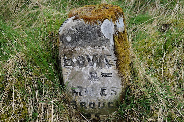 |
NY87021295 milestone, Stainmore (10) (Stainmore) |
 |
NY84801474 milestone, Stainmore (11) (Stainmore) perhaps once |
 |
NY83251498 milestone, Stainmore (12) (Stainmore) not found |
 |
NY86091382 milestone, Stainmore (13) (Stainmore) perhaps once |
 |
NY87491301 milestone, Stainmore (14) (Stainmore) perhaps once |
 |
NY88681261 milestone, Stainmore (15) (Stainmore) |
 |
NY90601222 Spital Turnpike () |
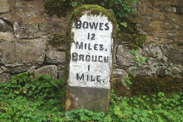 |
NY81431472 milestone, Brough (5) (Brough) L |
