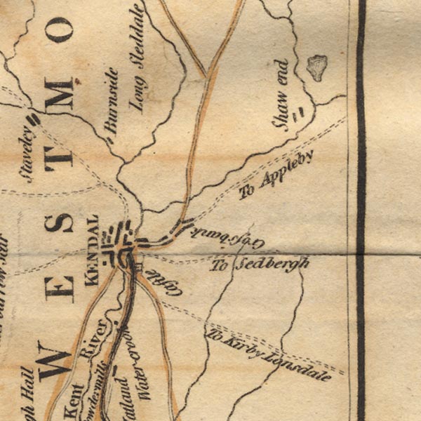
 West 1784 map SD59


|

|
|
|
gazetteer links places may or may not be labelled on the map |
||

|
-- Burneside |
|
|
|
-- Crossbank |
|
|
|
-- Field End -- "Shaw end" |
|
|
|
-- Kendal Castle |
|
|
|
-- Kendal -- "KENDAL" |
|
|
|
-- Kent, River -- "Kent River" |
|
|
|
-- Lancaster Canal |
|
|
|
-- Mint, River |
|
|
|
-- Peasey Beck |
|
|
|
-- Sprint, River |
|
|
|
-- Stainton Beck |
|
|
|
-- Watercrook |
|
|
civil parishes The area roughly includes parts of parishes:- Skelsmergh Scalthwaiterigg Longsleddale Firbank Lambrigg Strickland Roger Docker Kendal Old Hutton and Holmescales Grayrigg Helsington Underbarrow and Bradleyfield Whitwell and Selside Killington Natland New Hutton Strickland Ketel Whinfell |
||
|
|
||
|
|
Lakes Guides menu. | |